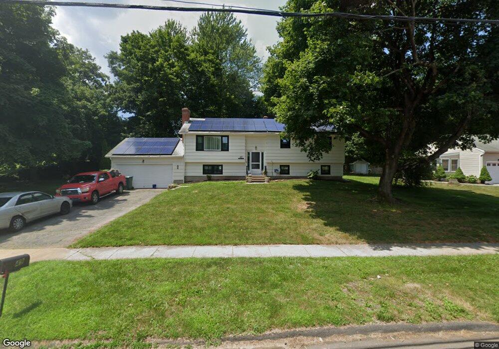
49 Howard Dr Hamden, CT 06514
Estimated Value: $404,453 - $485,000
4
Beds
2
Baths
2,082
Sq Ft
$209/Sq Ft
Est. Value
About This Home
This home is located at 49 Howard Dr, Hamden, CT 06514 and is currently estimated at $434,863, approximately $208 per square foot. 49 Howard Dr is a home located in New Haven County with nearby schools including Hamden Middle School, Hamden High School, and Alphabet Academy - Hamden North Campus.
Ownership History
Date
Name
Owned For
Owner Type
Purchase Details
Closed on
Aug 16, 2016
Sold by
Burgess Alfonza
Bought by
Burgess Alfonza and Burgess Kaliuha S
Current Estimated Value
Purchase Details
Closed on
Dec 15, 2005
Sold by
Blasiuis Joseph E Sr E and Blasius Joseph E
Bought by
Burgess Alfonz
Home Financials for this Owner
Home Financials are based on the most recent Mortgage that was taken out on this home.
Original Mortgage
$260,000
Interest Rate
6.34%
Create a Home Valuation Report for This Property
The Home Valuation Report is an in-depth analysis detailing your home's value as well as a comparison with similar homes in the area
Home Values in the Area
Average Home Value in this Area
Purchase History
| Date | Buyer | Sale Price | Title Company |
|---|---|---|---|
| Burgess Alfonza | -- | -- | |
| Burgess Alfonz | $290,000 | -- |
Source: Public Records
Mortgage History
| Date | Status | Borrower | Loan Amount |
|---|---|---|---|
| Previous Owner | Burgess Alfonz | $260,000 |
Source: Public Records
Tax History
| Year | Tax Paid | Tax Assessment Tax Assessment Total Assessment is a certain percentage of the fair market value that is determined by local assessors to be the total taxable value of land and additions on the property. | Land | Improvement |
|---|---|---|---|---|
| 2025 | $12,605 | $242,970 | $58,380 | $184,590 |
| 2024 | $8,657 | $155,680 | $40,950 | $114,730 |
| 2023 | $8,777 | $155,680 | $40,950 | $114,730 |
| 2022 | $8,637 | $155,680 | $40,950 | $114,730 |
| 2021 | $8,164 | $155,680 | $40,950 | $114,730 |
| 2020 | $8,067 | $155,190 | $71,260 | $83,930 |
| 2019 | $7,583 | $155,190 | $71,260 | $83,930 |
| 2018 | $7,443 | $155,190 | $71,260 | $83,930 |
| 2017 | $7,024 | $155,190 | $71,260 | $83,930 |
| 2016 | $7,039 | $155,190 | $71,260 | $83,930 |
| 2015 | $6,949 | $170,030 | $79,240 | $90,790 |
| 2014 | $6,789 | $170,030 | $79,240 | $90,790 |
Source: Public Records
Map
Nearby Homes
- 900 Mix Ave Unit 69
- 900 Mix Ave Unit 123
- 128 Shepards Knoll Dr Unit 128
- 200 Howard Dr
- 92 Shepards Knoll Dr Unit 92
- 72 Shepards Knoll Dr
- 15 Farm Brook Ct
- 172 Towne House Rd
- 37 Towne House Rd
- 32 Towne House Rd Unit 32
- 175 Mill Pond Rd Unit 346
- 175 Mill Pond Rd Unit 444
- 175 Mill Pond Rd Unit 214
- 175 Mill Pond Rd Unit 201
- 491 Shepard Ave
- 88 E Gate Ln Unit 88
- 144 E Gate Ln
- 33 Sky View Cir
- 645 Paradise Ave
- 34 Canterbury Rd
Your Personal Tour Guide
Ask me questions while you tour the home.