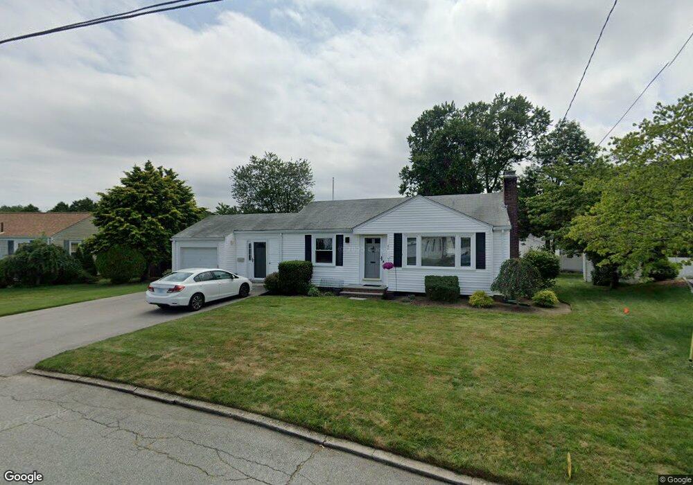
49 Juniper Dr Cranston, RI 02920
Garden City NeighborhoodEstimated Value: $404,000 - $492,000
2
Beds
1
Bath
864
Sq Ft
$505/Sq Ft
Est. Value
About This Home
This home is located at 49 Juniper Dr, Cranston, RI 02920 and is currently estimated at $436,544, approximately $505 per square foot. 49 Juniper Dr is a home located in Providence County with nearby schools including Garden City School, Western Hills Middle School, and Cranston High School West.
Ownership History
Date
Name
Owned For
Owner Type
Purchase Details
Closed on
Jun 20, 2017
Sold by
Irenen N Norstad 1998
Bought by
Cote Michael M and Cote Kathryn M
Current Estimated Value
Home Financials for this Owner
Home Financials are based on the most recent Mortgage that was taken out on this home.
Original Mortgage
$216,015
Outstanding Balance
$178,936
Interest Rate
3.87%
Mortgage Type
FHA
Estimated Equity
$257,608
Purchase Details
Closed on
Aug 3, 1999
Sold by
Matos Luis and Matos Carolyn R
Bought by
Norstad Irene N
Purchase Details
Closed on
Apr 26, 1993
Sold by
Keegan James J
Bought by
Matos Luis and Matos Carolyn
Home Financials for this Owner
Home Financials are based on the most recent Mortgage that was taken out on this home.
Original Mortgage
$80,000
Interest Rate
7.45%
Create a Home Valuation Report for This Property
The Home Valuation Report is an in-depth analysis detailing your home's value as well as a comparison with similar homes in the area
Home Values in the Area
Average Home Value in this Area
Purchase History
| Date | Buyer | Sale Price | Title Company |
|---|---|---|---|
| Cote Michael M | $220,000 | -- | |
| Norstad Irene N | $118,500 | -- | |
| Matos Luis | $100,000 | -- |
Source: Public Records
Mortgage History
| Date | Status | Borrower | Loan Amount |
|---|---|---|---|
| Open | Matos Luis | $216,015 | |
| Previous Owner | Matos Luis | $80,000 |
Source: Public Records
Tax History
| Year | Tax Paid | Tax Assessment Tax Assessment Total Assessment is a certain percentage of the fair market value that is determined by local assessors to be the total taxable value of land and additions on the property. | Land | Improvement |
|---|---|---|---|---|
| 2025 | $4,705 | $339,000 | $149,800 | $189,200 |
| 2024 | $4,614 | $339,000 | $149,800 | $189,200 |
| 2023 | $4,553 | $240,900 | $107,100 | $133,800 |
| 2022 | $4,459 | $240,900 | $107,100 | $133,800 |
| 2021 | $4,336 | $240,900 | $107,100 | $133,800 |
| 2020 | $4,339 | $208,900 | $107,100 | $101,800 |
| 2019 | $4,339 | $208,900 | $107,100 | $101,800 |
| 2018 | $4,239 | $208,900 | $107,100 | $101,800 |
| 2017 | $4,212 | $183,600 | $91,800 | $91,800 |
| 2016 | $4,122 | $183,600 | $91,800 | $91,800 |
| 2015 | $4,122 | $183,600 | $91,800 | $91,800 |
| 2014 | $3,270 | $174,500 | $88,000 | $86,500 |
Source: Public Records
Map
Nearby Homes
- 55 Cypress Dr
- 127 Dellwood Rd
- 175 Hoffman Ave Unit 102
- 24 Elm Cir
- 29 Poppy Dr
- 51 E Bel Air Rd
- 242 Brettonwoods Dr
- 859 Pontiac Ave
- 275 Meshanticut Valley Pkwy
- 11 W Blue Ridge Rd
- 217 Belvedere Dr
- 141 Glen Ridge Rd
- 210 Summit Dr
- 214 Meshanticut Valley Pkwy
- 84 Intervale Rd
- 105 Coldbrook Dr
- 57 Delway Rd
- 54 Holburn Ave
- 157 Sweetbriar Dr
- 64 Holburn Ave
Your Personal Tour Guide
Ask me questions while you tour the home.