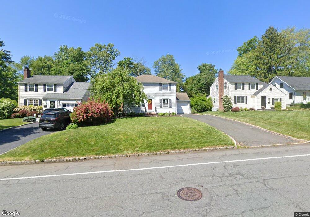
49 Maple St New Providence, NJ 07974
Estimated Value: $700,766 - $861,000
Studio
--
Bath
1,512
Sq Ft
$513/Sq Ft
Est. Value
About This Home
This home is located at 49 Maple St, New Providence, NJ 07974 and is currently estimated at $776,192, approximately $513 per square foot. 49 Maple St is a home located in Union County with nearby schools including New Providence High School, The Academy of Our Lady of Peace, and Oak Knoll School of the Holy Child.
Ownership History
Date
Name
Owned For
Owner Type
Purchase Details
Closed on
Jun 28, 2007
Sold by
Stramka Francis S and Stramka Teresa
Bought by
Babbitt William T and Babbitt Nancy C
Current Estimated Value
Home Financials for this Owner
Home Financials are based on the most recent Mortgage that was taken out on this home.
Original Mortgage
$51,150
Outstanding Balance
$31,786
Interest Rate
6.39%
Mortgage Type
Credit Line Revolving
Estimated Equity
$744,406
Create a Home Valuation Report for This Property
The Home Valuation Report is an in-depth analysis detailing your home's value as well as a comparison with similar homes in the area
Home Values in the Area
Average Home Value in this Area
Purchase History
| Date | Buyer | Sale Price | Title Company |
|---|---|---|---|
| Babbitt William T | $512,000 | United General Title Ins Co |
Source: Public Records
Mortgage History
| Date | Status | Borrower | Loan Amount |
|---|---|---|---|
| Open | Babbitt William T | $51,150 | |
| Open | Babbitt William T | $409,600 |
Source: Public Records
Tax History
| Year | Tax Paid | Tax Assessment Tax Assessment Total Assessment is a certain percentage of the fair market value that is determined by local assessors to be the total taxable value of land and additions on the property. | Land | Improvement |
|---|---|---|---|---|
| 2025 | $12,399 | $240,200 | $132,200 | $108,000 |
| 2024 | $12,027 | $240,200 | $132,200 | $108,000 |
| 2023 | $12,027 | $240,200 | $132,200 | $108,000 |
| 2022 | $11,861 | $240,200 | $132,200 | $108,000 |
| 2021 | $11,775 | $240,200 | $132,200 | $108,000 |
| 2020 | $11,770 | $240,200 | $132,200 | $108,000 |
| 2019 | $11,698 | $240,200 | $132,200 | $108,000 |
| 2018 | $11,638 | $240,200 | $132,200 | $108,000 |
| 2017 | $11,448 | $240,200 | $132,200 | $108,000 |
| 2016 | $11,287 | $240,200 | $132,200 | $108,000 |
| 2015 | $11,131 | $240,200 | $132,200 | $108,000 |
| 2014 | $10,963 | $240,200 | $132,200 | $108,000 |
Source: Public Records
Map
Nearby Homes
- 17 Badgley Dr
- 20 Pittsford Way
- 25 Division Ave
- 157 Grant Ave
- 50 Livingston Ave
- 47 Clinton Ave
- 15 Alison Ct
- 34 Grant Ave
- 65 Seven Oaks Dr
- 100 Commonwealth Ave
- 32 Marion Ave
- 299 Riveredge Dr
- 709 Springfield Ave Unit One
- 709 Springfield Ave Unit 4
- 709 Springfield Ave Unit 2
- 709 Springfield Ave Unit 3
- 139 Riveredge Dr
- 105 Riveredge Dr
- 10C Heritage Dr Unit C
- 5G Terrace Dr
Your Personal Tour Guide
Ask me questions while you tour the home.