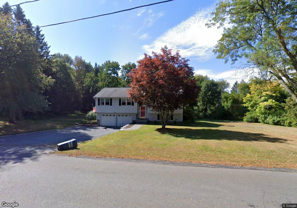
49 Meadowview Rd North Andover, MA 01845
Estimated Value: $743,181 - $834,000
3
Beds
3
Baths
1,639
Sq Ft
$484/Sq Ft
Est. Value
About This Home
This home is located at 49 Meadowview Rd, North Andover, MA 01845 and is currently estimated at $793,295, approximately $484 per square foot. 49 Meadowview Rd is a home located in Essex County with nearby schools including Kittredge Elementary School, North Andover Middle School, and North Andover High School.
Ownership History
Date
Name
Owned For
Owner Type
Purchase Details
Closed on
Jul 29, 2004
Sold by
Mcinnis Karen E and Mcinnis Michael J
Bought by
Brown Michelle Yameen
Current Estimated Value
Home Financials for this Owner
Home Financials are based on the most recent Mortgage that was taken out on this home.
Original Mortgage
$160,000
Interest Rate
6.33%
Mortgage Type
Purchase Money Mortgage
Purchase Details
Closed on
Jan 31, 2001
Sold by
Liporto Ernest P and Liporto Irene L
Bought by
Mcinnis Michael J and Mcinnis Karen E
Create a Home Valuation Report for This Property
The Home Valuation Report is an in-depth analysis detailing your home's value as well as a comparison with similar homes in the area
Home Values in the Area
Average Home Value in this Area
Purchase History
| Date | Buyer | Sale Price | Title Company |
|---|---|---|---|
| Brown Michelle Yameen | $438,000 | -- | |
| Mcinnis Michael J | $325,000 | -- |
Source: Public Records
Mortgage History
| Date | Status | Borrower | Loan Amount |
|---|---|---|---|
| Open | Mcinnis Michael J | $116,000 | |
| Closed | Brown Michelle Yameen | $160,000 | |
| Previous Owner | Mcinnis Michael J | $251,300 | |
| Previous Owner | Mcinnis Michael J | $70,000 |
Source: Public Records
Tax History Compared to Growth
Tax History
| Year | Tax Paid | Tax Assessment Tax Assessment Total Assessment is a certain percentage of the fair market value that is determined by local assessors to be the total taxable value of land and additions on the property. | Land | Improvement |
|---|---|---|---|---|
| 2025 | $7,517 | $667,600 | $415,500 | $252,100 |
| 2024 | $7,162 | $645,800 | $393,700 | $252,100 |
| 2023 | $6,738 | $550,500 | $332,500 | $218,000 |
| 2022 | $6,701 | $495,300 | $302,000 | $193,300 |
| 2021 | $6,527 | $460,600 | $273,700 | $186,900 |
| 2020 | $6,263 | $455,800 | $273,700 | $182,100 |
| 2019 | $6,112 | $455,800 | $273,700 | $182,100 |
| 2018 | $6,623 | $455,800 | $273,700 | $182,100 |
| 2017 | $5,402 | $378,300 | $214,500 | $163,800 |
| 2016 | $5,298 | $371,300 | $213,200 | $158,100 |
| 2015 | $4,923 | $342,100 | $209,700 | $132,400 |
Source: Public Records
Map
Nearby Homes
- 56 Meadowview Rd
- 20 Highwood Way
- 894 Great Pond Rd
- Lot 5A Essex St
- 65 Saile Way
- 234 Brentwood Cir
- 121 Cortland Dr
- 121 Cortland Dr Unit 121
- 179 Washington St
- 43 Belvedere Rd
- 266 Washington St
- 499 Main St
- 240 Dale St
- 64 Cochichewick Dr
- 26 Bayns Hill Rd
- 27 Marbleridge Rd
- 35 Bonny Ln
- 125 Lancaster Rd
- 590 Foster St
- 29 Hoveys Pond Dr
- 59 Meadowview Rd
- 35 Meadowview Rd
- 86 S Bradford St
- 40 Meadowview Rd
- 8 Woodcrest Dr
- 15 Meadowview Rd
- 1 Highwood Way
- 102 S Bradford St
- 8 Highwood Way
- 85 S Bradford St
- 19 Ferncroft Cir
- 21 Highwood Way
- 40 Ferncroft Cir
- 18 Woodcrest Dr
- 69 S Bradford St
- 95 S Bradford St
- 15 Woodcrest Dr
- 20 Ferncroft Cir
- 114 S Bradford St
- 24 Woodcrest Dr