49 Merrill Rd Eddington, ME 04428
Estimated Value: $155,261 - $244,000
--
Bed
--
Bath
--
Sq Ft
2.38
Acres
About This Home
This home is located at 49 Merrill Rd, Eddington, ME 04428 and is currently estimated at $193,565. 49 Merrill Rd is a home located in Penobscot County.
Create a Home Valuation Report for This Property
The Home Valuation Report is an in-depth analysis detailing your home's value as well as a comparison with similar homes in the area
Home Values in the Area
Average Home Value in this Area
Tax History Compared to Growth
Tax History
| Year | Tax Paid | Tax Assessment Tax Assessment Total Assessment is a certain percentage of the fair market value that is determined by local assessors to be the total taxable value of land and additions on the property. | Land | Improvement |
|---|---|---|---|---|
| 2024 | $1,856 | $93,956 | $32,070 | $61,886 |
| 2023 | $1,630 | $93,956 | $32,070 | $61,886 |
| 2022 | $1,536 | $93,956 | $32,070 | $61,886 |
| 2021 | $1,533 | $88,330 | $32,070 | $56,260 |
| 2020 | $1,563 | $88,330 | $32,070 | $56,260 |
| 2019 | $1,475 | $88,330 | $32,070 | $56,260 |
| 2018 | $1,378 | $88,330 | $32,070 | $56,260 |
| 2017 | $1,418 | $88,330 | $32,070 | $56,260 |
| 2016 | $1,329 | $88,330 | $32,070 | $56,260 |
| 2015 | $1,261 | $88,330 | $32,070 | $56,260 |
| 2014 | $1,261 | $88,330 | $32,070 | $56,260 |
Source: Public Records
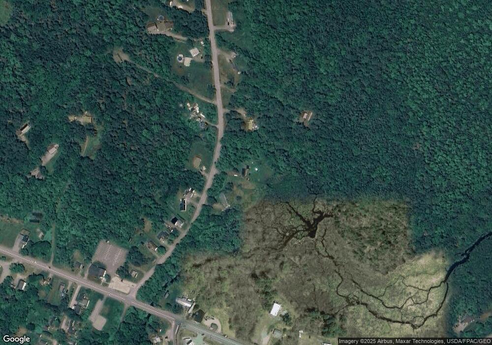
Map
Nearby Homes
- 46 Pond Rd
- Lot 10-1 Airline Rd
- Map7 Lot14 Chestnut Ln
- 1068 Main Rd
- 0 Tbd Chemo Pond Rd
- 386 Airline Rd
- 93 Forestry Ln
- 271 Clark Hill Rd
- Lot 15-1 Forestry Ln
- Lot 16 Forestry Ln
- Lot 17 Forestry Ln
- 36 Comins Ln
- 451 Levenseller Rd
- Lot 12 Katahdin Way
- 40 Katahdin Way
- 0 Tbd Mountain View Dr
- 443 Mann Hill Rd
- M2L1 Springy Pond Rd
- 37 Lower Dedham Rd
- 12 Paradise Cove