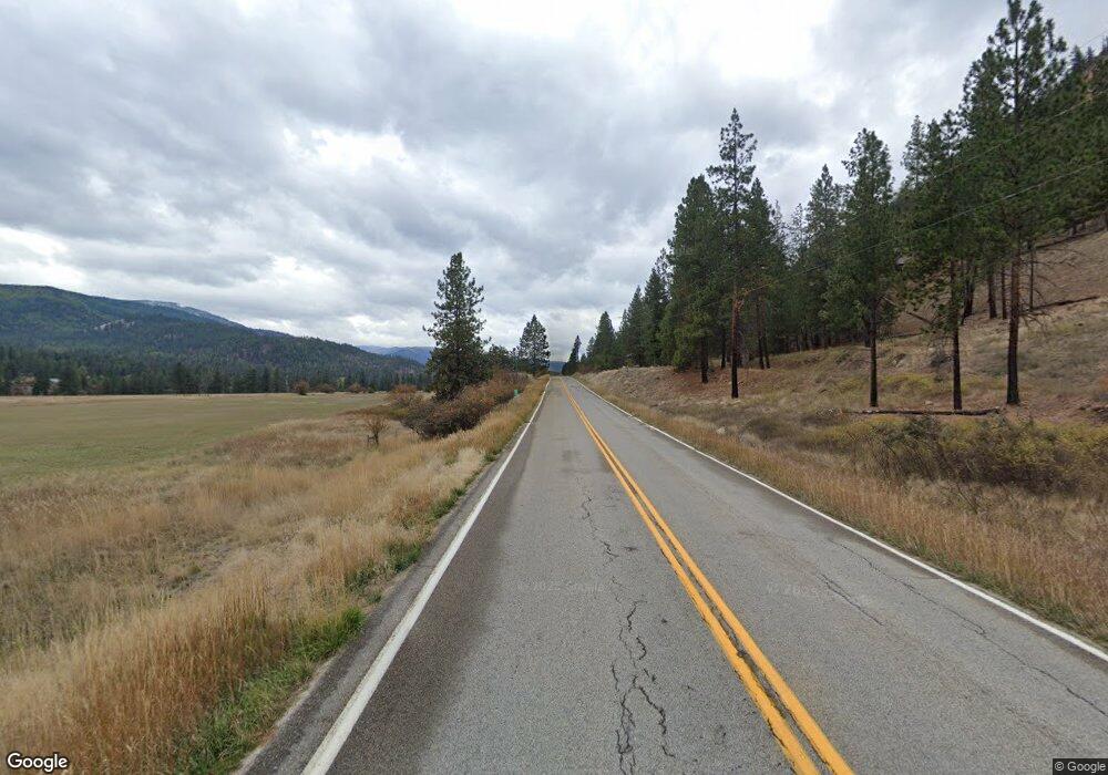
49 Mullan Rd W Superior, MT 59872
Estimated Value: $457,846 - $674,000
4
Beds
4
Baths
2,262
Sq Ft
$248/Sq Ft
Est. Value
About This Home
This home is located at 49 Mullan Rd W, Superior, MT 59872 and is currently estimated at $561,962, approximately $248 per square foot. 49 Mullan Rd W is a home located in Mineral County with nearby schools including Superior Elementary School and Superior High School.
Ownership History
Date
Name
Owned For
Owner Type
Purchase Details
Closed on
Jun 24, 2022
Sold by
Eric Bruster
Bought by
Willmore Sean
Current Estimated Value
Home Financials for this Owner
Home Financials are based on the most recent Mortgage that was taken out on this home.
Original Mortgage
$150,000
Outstanding Balance
$141,884
Interest Rate
5.1%
Mortgage Type
New Conventional
Estimated Equity
$420,079
Purchase Details
Closed on
Sep 1, 2021
Sold by
Mcguinness Robert F and Mcguinness Gail D
Bought by
Bruster Eric and Bruster Trisha
Home Financials for this Owner
Home Financials are based on the most recent Mortgage that was taken out on this home.
Original Mortgage
$427,660
Interest Rate
2.7%
Mortgage Type
VA
Purchase Details
Closed on
May 30, 2007
Sold by
Demoss Gary and Demoss Sharon
Bought by
Mcguinness Robert F and Gall Mcguinness D
Create a Home Valuation Report for This Property
The Home Valuation Report is an in-depth analysis detailing your home's value as well as a comparison with similar homes in the area
Purchase History
| Date | Buyer | Sale Price | Title Company |
|---|---|---|---|
| Willmore Sean | -- | First American Title | |
| Bruster Eric | -- | First American Title Company | |
| Mcguinness Robert F | -- | First American Title Company |
Source: Public Records
Mortgage History
| Date | Status | Borrower | Loan Amount |
|---|---|---|---|
| Open | Willmore Sean | $150,000 | |
| Previous Owner | Bruster Eric | $427,660 |
Source: Public Records
Tax History Compared to Growth
Tax History
| Year | Tax Paid | Tax Assessment Tax Assessment Total Assessment is a certain percentage of the fair market value that is determined by local assessors to be the total taxable value of land and additions on the property. | Land | Improvement |
|---|---|---|---|---|
| 2025 | $3,281 | $465,318 | $0 | $0 |
| 2024 | $4,944 | $483,800 | $0 | $0 |
| 2023 | $5,130 | $483,800 | $0 | $0 |
| 2022 | $4,556 | $373,700 | $0 | $0 |
| 2021 | $4,409 | $373,700 | $0 | $0 |
| 2020 | $4,503 | $364,500 | $0 | $0 |
| 2019 | $4,534 | $364,500 | $0 | $0 |
| 2018 | $3,808 | $307,759 | $0 | $0 |
| 2017 | $3,400 | $307,759 | $0 | $0 |
| 2016 | $3,375 | $296,600 | $0 | $0 |
| 2015 | $3,153 | $296,600 | $0 | $0 |
| 2014 | $3,318 | $171,784 | $0 | $0 |
Source: Public Records
Map
Nearby Homes
- Lot 5 Tami Dr
- 109 Mullan Rd W
- 746 Tami Dr
- 42 Flat Creek Rd
- 500 3rd Ave E
- 264 Yellow Pine Dr
- 1069 Mullan Rd E
- 44 Clark Fork Dr
- 348 Clark Fork Dr
- Nka Osprey Dr Unit Lot 33
- 614 Johnson Ln
- NKA Anderson Rd
- NHN Robins Nest Ln
- Nhn Diamond Match Rd
- 219 Shyrock Loop Dr
- 0 Johnson Creek Rd
- NHN Johnson Creek Rd
- 51 Brockway Ln
- Nhn Cyr Iron Mountain Rd
- County Rd
- 63 Bucko Ln
- 57 Mullan Rd W
- 0 Mullan Rd W Unit 25510321
- 2400 Mullan Rd W
- 0 Mullan Rd W Unit 30007332
- Unk Mullan Rd W
- 1423 Mullan Rd W
- Riverfront Mullan Rd W
- 29 Cherry Blossom Ln
- 58 Mullan Rd W
- 150 Mullan Rd W
- 142 Mullan Rd W
- 89 Mullan Rd W
- 59 Mullan Rd W
- 168 Mullan Rd W
- 43 Mullan Rd W
- 125 Mullan Rd W
- 448 Mullan Rd W
- 105/107 W Riverside Dr
- 50 Mullan Rd W
