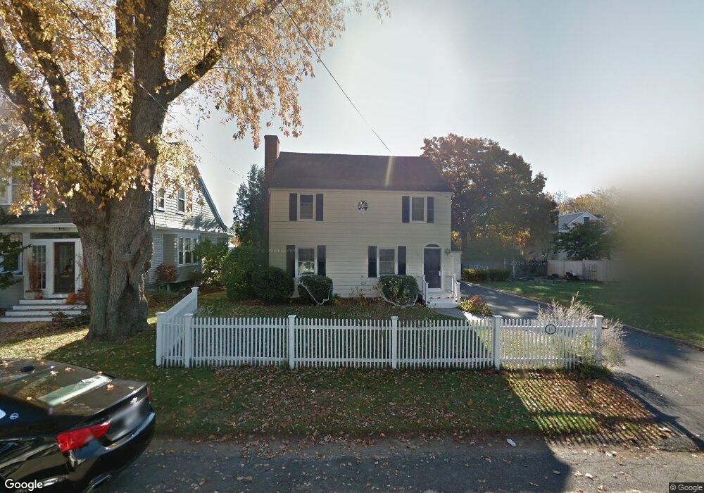
49 Newton St Fairfield, CT 06824
Fairfield Beach NeighborhoodEstimated Value: $1,105,491 - $1,352,000
3
Beds
3
Baths
1,898
Sq Ft
$665/Sq Ft
Est. Value
About This Home
This home is located at 49 Newton St, Fairfield, CT 06824 and is currently estimated at $1,262,623, approximately $665 per square foot. 49 Newton St is a home located in Fairfield County with nearby schools including Roger Sherman Elementary School, Roger Ludlowe Middle School, and Fairfield Ludlowe High School.
Ownership History
Date
Name
Owned For
Owner Type
Purchase Details
Closed on
Apr 15, 2005
Sold by
Culver Dorwin and Konkel-Culver Julie
Bought by
Morrison Justin M and Sandler Stephanie J
Current Estimated Value
Home Financials for this Owner
Home Financials are based on the most recent Mortgage that was taken out on this home.
Original Mortgage
$421,000
Outstanding Balance
$217,254
Interest Rate
5.78%
Estimated Equity
$1,045,369
Purchase Details
Closed on
Jun 11, 2002
Sold by
Migliori John P and Lind-Migliore Patricia
Bought by
Culver Dorwin and Kunkel-Culver Julie
Purchase Details
Closed on
Jul 23, 1993
Sold by
Swiggett Carey Tracy
Bought by
Migliore John and Lind Migliore Patricia
Purchase Details
Closed on
Sep 17, 1987
Sold by
Mclaren George A
Bought by
Swiggett-Carey Tracy L
Create a Home Valuation Report for This Property
The Home Valuation Report is an in-depth analysis detailing your home's value as well as a comparison with similar homes in the area
Home Values in the Area
Average Home Value in this Area
Purchase History
| Date | Buyer | Sale Price | Title Company |
|---|---|---|---|
| Morrison Justin M | $801,000 | -- | |
| Morrison Justin M | $801,000 | -- | |
| Culver Dorwin | $589,900 | -- | |
| Culver Dorwin | $589,900 | -- | |
| Migliore John | $260,000 | -- | |
| Migliore John | $260,000 | -- | |
| Swiggett-Carey Tracy L | $265,000 | -- |
Source: Public Records
Mortgage History
| Date | Status | Borrower | Loan Amount |
|---|---|---|---|
| Open | Swiggett-Carey Tracy L | $421,000 | |
| Closed | Swiggett-Carey Tracy L | $421,000 |
Source: Public Records
Tax History Compared to Growth
Tax History
| Year | Tax Paid | Tax Assessment Tax Assessment Total Assessment is a certain percentage of the fair market value that is determined by local assessors to be the total taxable value of land and additions on the property. | Land | Improvement |
|---|---|---|---|---|
| 2025 | $12,776 | $450,030 | $307,160 | $142,870 |
| 2024 | $12,556 | $450,030 | $307,160 | $142,870 |
| 2023 | $12,380 | $450,030 | $307,160 | $142,870 |
| 2022 | $12,259 | $450,030 | $307,160 | $142,870 |
| 2021 | $12,142 | $450,030 | $307,160 | $142,870 |
| 2020 | $11,293 | $421,540 | $272,300 | $149,240 |
| 2019 | $11,293 | $421,540 | $272,300 | $149,240 |
| 2018 | $11,112 | $421,540 | $272,300 | $149,240 |
| 2017 | $10,884 | $421,540 | $272,300 | $149,240 |
| 2016 | $10,728 | $421,540 | $272,300 | $149,240 |
| 2015 | $9,994 | $403,130 | $279,300 | $123,830 |
| 2014 | $9,836 | $403,130 | $279,300 | $123,830 |
Source: Public Records
Map
Nearby Homes
- 117 Turney Rd
- 60 Eleanor Terrace
- 96 Clinton St
- 215 Old Post Rd
- 634 S Benson Rd
- 128 Mariners Way
- 128 Mariners Way Unit (To Be Built)
- 153 Longview Ave
- 2180 Kings Hwy Unit 1
- 27 Longview Ave
- 58 Post Rd
- 260 Birch Rd
- 254 Penfield Rd
- 378 Penfield Rd
- 394 Penfield Rd
- 450 Penfield Rd
- 124 Old Battery Rd
- 120 Beachview Ave Unit 246
- 0 Battery Park Dr
- 20 Ermine St