
Seller's Agent in 2017
Judi Farr
EXP Realty
(603) 493-6422
3 Total Sales

Estimated Value: $279,087 - $462,000
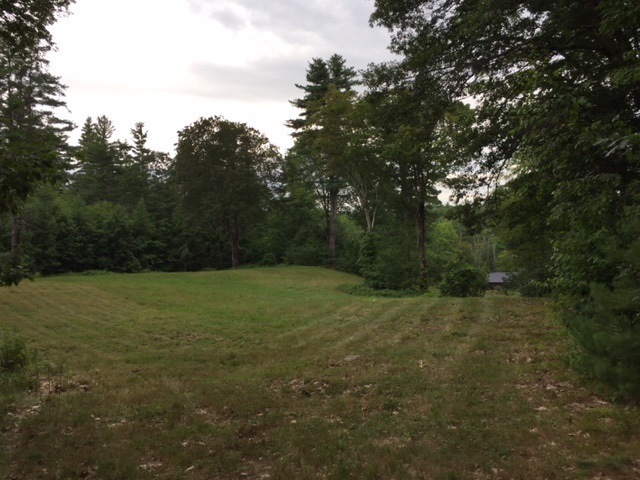
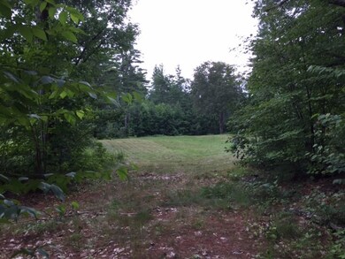
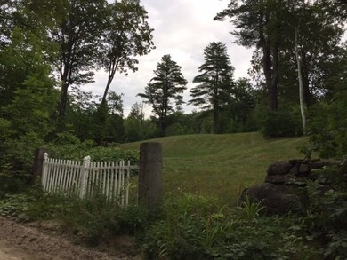
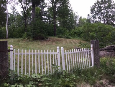
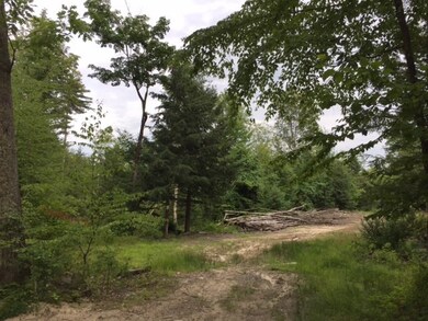
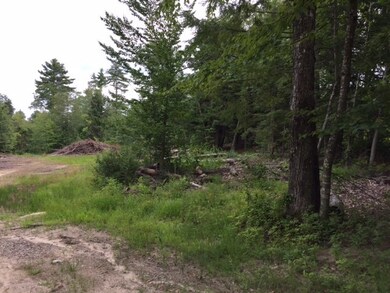
35.85 Acres in a Country setting awaits your inspection (Map 411/Lot379). Peacock Brook runs across the land which could be used as a single lot, or possibility of future division into multiple lots with town approval. House is partially demolished and depending on land use, should be removed. The barn is in good condition. All buildings are being sold in "as-is" condition. 32 Acres of land is in current use for lower taxes. 1 Acre +/- is located across the street from the main plot and in an unbuildable lot. (Map 411/Lot 2). Call Judi Farr 603-493-6422 for more information.
| Date | Event | Price | List to Sale | Price per Sq Ft |
|---|---|---|---|---|
| 11/01/2017 11/01/17 | Sold | $150,000 | -16.3% | -- |
| 10/16/2017 10/16/17 | Pending | -- | -- | -- |
| 08/07/2017 08/07/17 | For Sale | $179,250 | -- | -- |
| Year | Tax Paid | Tax Assessment Tax Assessment Total Assessment is a certain percentage of the fair market value that is determined by local assessors to be the total taxable value of land and additions on the property. | Land | Improvement |
|---|---|---|---|---|
| 2024 | $2,680 | $131,425 | $90,425 | $41,000 |
| 2023 | $2,485 | $131,903 | $90,903 | $41,000 |
| 2022 | $2,295 | $131,903 | $90,903 | $41,000 |
| 2021 | $2,255 | $131,114 | $90,114 | $41,000 |
| 2020 | $2,319 | $96,835 | $64,335 | $32,500 |
| 2019 | $2,296 | $96,835 | $64,335 | $32,500 |
| 2018 | $2,254 | $97,886 | $64,386 | $33,500 |
| 2016 | $2,269 | $101,428 | $64,328 | $37,100 |
| 2015 | $2,264 | $101,012 | $64,312 | $36,700 |
| 2014 | $2,251 | $101,339 | $64,339 | $37,000 |
| 2013 | $2,195 | $100,916 | $72,116 | $28,800 |
Seller's Agent in 2017
Judi Farr
EXP Realty
(603) 493-6422
3 Total Sales
Source: PrimeMLS
MLS Number: 4652236
APN: WEAR-000411-000000-000379
Disclaimer: Certain information contained herein is derived from information provided by parties other than Homes.com. All information provided is deemed reliable, but is not guaranteed to be accurate and should be independently verified.
![]() Copyright 2025 PrimeMLS, Inc. All rights reserved. This information is deemed reliable, but not guaranteed. The data relating to real estate displayed on this display comes in part from the IDX Program of PrimeMLS. The information being provided is for consumers’ personal, non-commercial use and may not be used for any purpose other than to identify prospective properties consumers may be interested in purchasing.
Copyright 2025 PrimeMLS, Inc. All rights reserved. This information is deemed reliable, but not guaranteed. The data relating to real estate displayed on this display comes in part from the IDX Program of PrimeMLS. The information being provided is for consumers’ personal, non-commercial use and may not be used for any purpose other than to identify prospective properties consumers may be interested in purchasing.