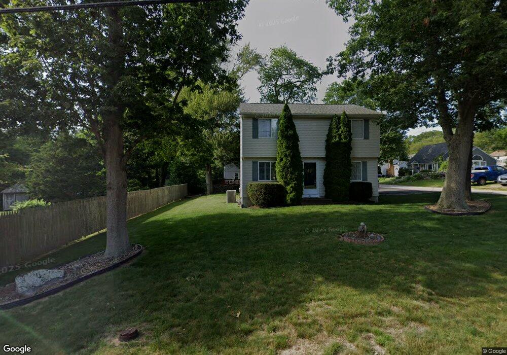
49 Pettaquamscutt Lake Rd Saunderstown, RI 02874
Estimated Value: $564,000 - $653,000
3
Beds
2
Baths
1,400
Sq Ft
$435/Sq Ft
Est. Value
About This Home
This home is located at 49 Pettaquamscutt Lake Rd, Saunderstown, RI 02874 and is currently estimated at $608,459, approximately $434 per square foot. 49 Pettaquamscutt Lake Rd is a home located in Washington County with nearby schools including Narragansett Elementary School, Narragansett Pier Middle School, and Narragansett High School.
Ownership History
Date
Name
Owned For
Owner Type
Purchase Details
Closed on
Jun 12, 2020
Sold by
Lembo Joseph and Lembo Donna J
Bought by
Lembo Ft
Current Estimated Value
Purchase Details
Closed on
Sep 6, 2011
Sold by
Capraro Joseph and Cararo Marie A
Bought by
Lembo 3Rd Joseph and Lembo Donna J
Create a Home Valuation Report for This Property
The Home Valuation Report is an in-depth analysis detailing your home's value as well as a comparison with similar homes in the area
Home Values in the Area
Average Home Value in this Area
Purchase History
| Date | Buyer | Sale Price | Title Company |
|---|---|---|---|
| Lembo Ft | -- | None Available | |
| Lembo 3Rd Joseph | $210,000 | -- |
Source: Public Records
Mortgage History
| Date | Status | Borrower | Loan Amount |
|---|---|---|---|
| Previous Owner | Lembo 3Rd Joseph | $180,000 |
Source: Public Records
Tax History Compared to Growth
Tax History
| Year | Tax Paid | Tax Assessment Tax Assessment Total Assessment is a certain percentage of the fair market value that is determined by local assessors to be the total taxable value of land and additions on the property. | Land | Improvement |
|---|---|---|---|---|
| 2025 | $3,473 | $511,500 | $201,600 | $309,900 |
| 2024 | $3,350 | $511,500 | $201,600 | $309,900 |
| 2023 | $3,354 | $360,300 | $144,000 | $216,300 |
| 2022 | $3,243 | $360,300 | $144,000 | $216,300 |
| 2021 | $3,192 | $360,300 | $144,000 | $216,300 |
| 2020 | $2,983 | $284,600 | $98,100 | $186,500 |
| 2019 | $2,911 | $284,600 | $98,100 | $186,500 |
| 2018 | $2,832 | $284,600 | $98,100 | $186,500 |
| 2017 | $2,589 | $245,200 | $98,300 | $146,900 |
| 2016 | $2,472 | $245,200 | $98,300 | $146,900 |
| 2015 | $2,437 | $245,200 | $98,300 | $146,900 |
| 2014 | $2,361 | $235,200 | $93,100 | $142,100 |
Source: Public Records
Map
Nearby Homes
- 49 Meadow Sweet Trail
- 47 Wake Robin Trail
- 12 Overlook Rd
- 297 Walmsley Ln
- 18 Lakeview Dr
- 46 Hillside Ct
- 416 Bridgetown Rd
- 51 Osceola Ave
- 137 Bonnet Shores Rd
- 55 Bonnet Shores Rd
- 53 Bonnet Shores Rd
- 51 Bonnet Shores Rd
- 66 Essex Manor Ln
- 2424 Tower Hill Rd
- 18 Anawan Ave
- 64 Juniper Trail
- 80 Old Pine Rd
- 20 Anchorage Rd
- 91 Bonnet Point Rd
- 121 Spice Bush Trail
- 46 Twin Leaf Trail
- 0 Twin Leaf Trail Unit 909834
- 0 Twin Leaf Trail Unit 10229
- 0 Twin Leaf Trail Unit 514345
- 0 Twin Leaf Trail Unit 1224867
- 185 Twin Leaf Trail
- 191 Twin Leaf Trail
- 55 Pettaquamscutt Lake Rd
- 50 Twin Leaf Trail
- 47 Twin Leaf Trail
- 39 Pettaquamscutt Lake Rd
- 30 Twin Leaf Trail
- 54 Pettaquamscutt Ave
- 49 Twin Leaf Trail
- 54 Pettaquamscutt Lake Rd
- 52 Twin Leaf Trail
- 469 Meadow Sweet Trail
- 465 Meadow Sweet Trail
- 0 Meadow Sweet Trail
- 33 Twin Leaf Trail