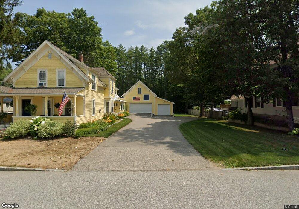
49 Pollard St Conway, NH 03818
Conway AreaEstimated Value: $571,000 - $764,000
About This Home
This home is located at 49 Pollard St, Conway, NH 03818 and is currently estimated at $665,389, approximately $236 per square foot. 49 Pollard St is a home with nearby schools including A. Crosby Kennett Middle School, Kennett High School, and Robert Frost Charter School.
Ownership History
We collect this data history from publicly available records. To have your information removed, we recommend requesting removal directly through your county’s website.
Purchase Details
Home Values in the Area
Average Home Value in this Area
Purchase History
We collect this data history from publicly available records. To have your information removed, we recommend requesting removal directly through your county’s website.
| Date | Buyer | Sale Price | Title Company |
|---|---|---|---|
| $95,000 | -- |
Mortgage History
We collect this data history from publicly available records. To have your information removed, we recommend requesting removal directly through your county’s website.
| Date | Status | Borrower | Loan Amount |
|---|---|---|---|
| Closed | $43,871 | ||
| Closed | $42,000 | ||
| Open | $170,000 | ||
| Closed | $170,000 |
Tax History
We collect this data history from publicly available records. To have your information removed, we recommend requesting removal directly through your county’s website.
| Year | Tax Paid | Tax Assessment Tax Assessment Total Assessment is a certain percentage of the fair market value that is determined by local assessors to be the total taxable value of land and additions on the property. | Land | Improvement |
|---|---|---|---|---|
| 2025 | $7,762 | $626,000 | $52,900 | $573,100 |
| 2024 | $8,044 | $626,000 | $52,900 | $573,100 |
| 2023 | $7,462 | $626,000 | $52,900 | $573,100 |
| 2022 | $5,881 | $302,200 | $51,900 | $250,300 |
| 2021 | $4,938 | $302,200 | $51,900 | $250,300 |
| 2020 | $5,548 | $302,200 | $51,900 | $250,300 |
| 2019 | $5,234 | $302,200 | $51,900 | $250,300 |
| 2018 | $5,420 | $249,300 | $51,900 | $197,400 |
| 2017 | $4,981 | $249,300 | $51,900 | $197,400 |
| 2016 | $4,814 | $249,300 | $51,900 | $197,400 |
| 2015 | $4,759 | $249,300 | $51,900 | $197,400 |
| 2014 | $4,702 | $249,300 | $51,900 | $197,400 |
| 2013 | $4,456 | $249,500 | $51,900 | $197,600 |
Map
- 196 E Main St Unit 5
- 51 Pequawket Dr
- 169 Poliquin Dr
- 82 Poliquin Dr
- 229 Tasker Hill Rd
- 290 E Side Rd Unit 3
- 379 White Mountain Hwy
- Lot 42,43,44,49 G St
- 29 Tent Ave
- 26 Firelite Rd
- 47 Oxbow Ln
- 74 Lamplighter's Dr
- 113 Oxbow Ln
- Map 264 Lot 65 Oxbow Ln
- 106 Fairview Ave
- 123 Oxbow Ln
- 20 Lighthouse Ln
- 20 Lighthouse Ln
- 0 Brookside St Unit 33+27.1(part)
- 00 Brookside St Unit 34+27.1(part)
Ask me questions while you tour the home.