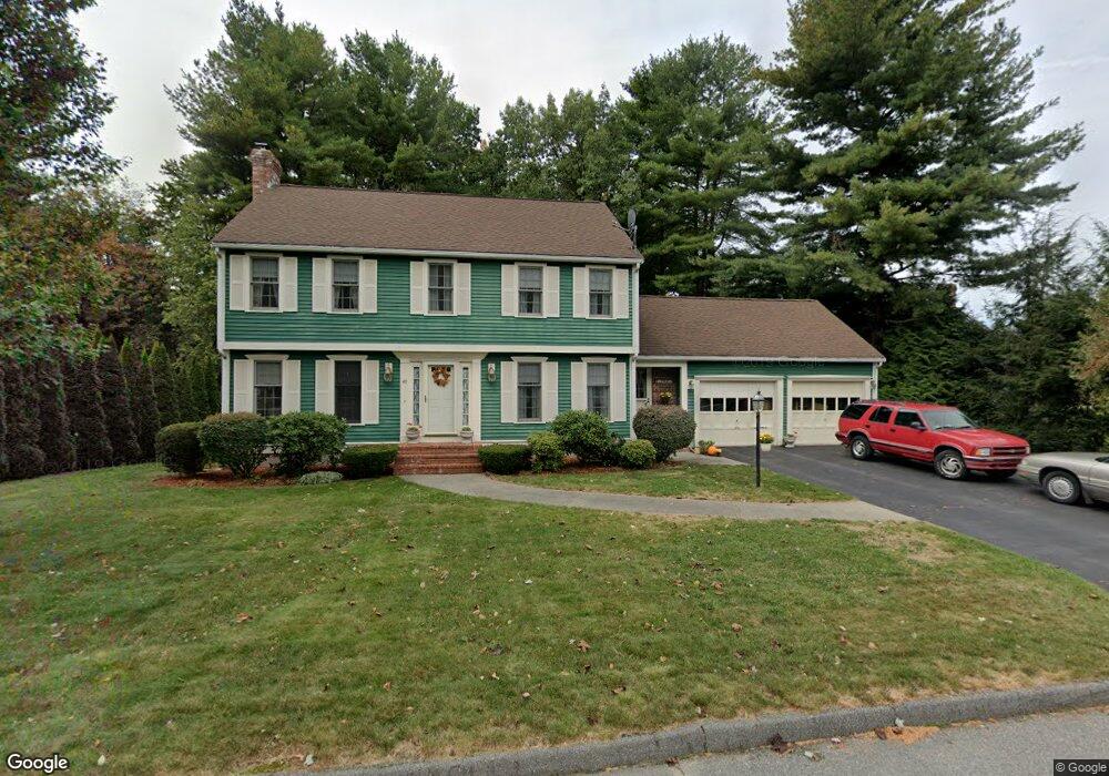
49 Robin Rd Leominster, MA 01453
Estimated Value: $583,774 - $667,000
3
Beds
3
Baths
2,041
Sq Ft
$299/Sq Ft
Est. Value
About This Home
This home is located at 49 Robin Rd, Leominster, MA 01453 and is currently estimated at $610,194, approximately $298 per square foot. 49 Robin Rd is a home located in Worcester County with nearby schools including Leominster High School, St. Leo School, and St. Anna Catholic School.
Ownership History
Date
Name
Owned For
Owner Type
Purchase Details
Closed on
Jul 28, 1999
Sold by
Armato Stephen T and Armato Karen A
Bought by
Kay Robert E and Kay Angela M
Current Estimated Value
Home Financials for this Owner
Home Financials are based on the most recent Mortgage that was taken out on this home.
Original Mortgage
$183,600
Outstanding Balance
$50,661
Interest Rate
7.61%
Mortgage Type
Purchase Money Mortgage
Estimated Equity
$559,533
Purchase Details
Closed on
Oct 9, 1996
Sold by
Crowley Dean A and Crowley Linda N
Bought by
Armato Stephan T and Armato Karen A
Home Financials for this Owner
Home Financials are based on the most recent Mortgage that was taken out on this home.
Original Mortgage
$145,150
Interest Rate
8.06%
Mortgage Type
Purchase Money Mortgage
Create a Home Valuation Report for This Property
The Home Valuation Report is an in-depth analysis detailing your home's value as well as a comparison with similar homes in the area
Home Values in the Area
Average Home Value in this Area
Purchase History
| Date | Buyer | Sale Price | Title Company |
|---|---|---|---|
| Kay Robert E | $204,000 | -- | |
| Armato Stephan T | $162,000 | -- |
Source: Public Records
Mortgage History
| Date | Status | Borrower | Loan Amount |
|---|---|---|---|
| Open | Armato Stephan T | $183,600 | |
| Previous Owner | Armato Stephan T | $145,150 | |
| Previous Owner | Armato Stephan T | $94,000 | |
| Previous Owner | Armato Stephan T | $100,000 |
Source: Public Records
Tax History
| Year | Tax Paid | Tax Assessment Tax Assessment Total Assessment is a certain percentage of the fair market value that is determined by local assessors to be the total taxable value of land and additions on the property. | Land | Improvement |
|---|---|---|---|---|
| 2025 | $6,733 | $479,900 | $153,800 | $326,100 |
| 2024 | $6,933 | $477,800 | $146,400 | $331,400 |
| 2023 | $6,556 | $421,900 | $127,400 | $294,500 |
| 2022 | $6,243 | $377,000 | $110,800 | $266,200 |
| 2021 | $5,948 | $328,100 | $86,200 | $241,900 |
| 2020 | $5,683 | $316,100 | $86,200 | $229,900 |
| 2019 | $5,514 | $297,400 | $82,000 | $215,400 |
| 2018 | $5,468 | $282,900 | $79,600 | $203,300 |
| 2017 | $5,335 | $270,400 | $74,400 | $196,000 |
| 2016 | $5,245 | $267,900 | $74,400 | $193,500 |
| 2015 | $4,823 | $248,100 | $74,400 | $173,700 |
| 2014 | $4,774 | $252,700 | $82,200 | $170,500 |
Source: Public Records
Map
Nearby Homes
- 41 Hill St
- 46 Eugene St
- 40 Biscayne St
- 21 Regina Dr
- 47 Carolyn St
- 6 Chapman Place
- 103 Keeneland Cir
- 372 Litchfield St
- 25 Meadow Pond Dr Unit j
- 30 Abbey Rd Unit 202
- 242 Pleasant St
- 192 Pleasant St Unit 25
- 192 Pleasant St Unit 23
- 23 Lantern Ln
- 46 Franklin St
- 779 Willard St
- 675 Willard St
- 0 Wheeler St
- 42 Wheeler St
- 6 Longwood Ave
Your Personal Tour Guide
Ask me questions while you tour the home.