49 S Shore Dr Sturbridge, MA 01566
Estimated Value: $457,903 - $485,000
3
Beds
2
Baths
1,086
Sq Ft
$436/Sq Ft
Est. Value
About This Home
This home is located at 49 S Shore Dr, Sturbridge, MA 01566 and is currently estimated at $473,726, approximately $436 per square foot. 49 S Shore Dr is a home located in Worcester County with nearby schools including Burgess Elementary School, Tantasqua Regional Junior High School, and Tantasqua Regional High School.
Ownership History
Date
Name
Owned For
Owner Type
Purchase Details
Closed on
Oct 16, 1998
Sold by
Cmg Dev Corp
Bought by
Pratt Michael K and Pratt Dawn L
Current Estimated Value
Home Financials for this Owner
Home Financials are based on the most recent Mortgage that was taken out on this home.
Original Mortgage
$120,552
Interest Rate
6.8%
Mortgage Type
Purchase Money Mortgage
Create a Home Valuation Report for This Property
The Home Valuation Report is an in-depth analysis detailing your home's value as well as a comparison with similar homes in the area
Home Values in the Area
Average Home Value in this Area
Purchase History
| Date | Buyer | Sale Price | Title Company |
|---|---|---|---|
| Pratt Michael K | $121,110 | -- |
Source: Public Records
Mortgage History
| Date | Status | Borrower | Loan Amount |
|---|---|---|---|
| Open | Pratt Michael K | $171,000 | |
| Closed | Pratt Michael K | $25,000 | |
| Closed | Pratt Michael K | $120,552 |
Source: Public Records
Tax History Compared to Growth
Tax History
| Year | Tax Paid | Tax Assessment Tax Assessment Total Assessment is a certain percentage of the fair market value that is determined by local assessors to be the total taxable value of land and additions on the property. | Land | Improvement |
|---|---|---|---|---|
| 2025 | $6,219 | $390,400 | $114,200 | $276,200 |
| 2024 | $6,164 | $373,800 | $111,800 | $262,000 |
| 2023 | $5,851 | $323,800 | $97,100 | $226,700 |
| 2022 | $5,642 | $294,600 | $87,700 | $206,900 |
| 2021 | $5,130 | $269,700 | $83,600 | $186,100 |
| 2020 | $5,130 | $269,700 | $83,600 | $186,100 |
| 2019 | $4,958 | $258,900 | $86,000 | $172,900 |
| 2018 | $4,780 | $245,900 | $81,800 | $164,100 |
| 2017 | $4,536 | $233,800 | $78,900 | $154,900 |
| 2016 | $4,455 | $231,900 | $76,500 | $155,400 |
| 2015 | $4,200 | $218,300 | $76,500 | $141,800 |
Source: Public Records
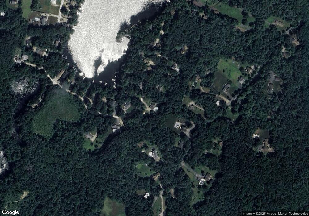
Map
Nearby Homes
- 323 New Boston Rd
- 132 Lane 9
- 60 Allen Rd
- 16 Rice Corner Rd
- 41 Bushnell Rd
- 150 Podunk Rd
- 7 Woodlawn Dr
- 213 Cedar St
- 146-A Cedar St
- 146-A. Cedar St
- 2 Sprucedale Dr
- 2 Tupelo Dr
- 79 Paradise Ln
- 29, 31, 33 Ladd Rd
- 6 Jerry Rd
- 220 Hemlock Path
- 28 Woodside Cir
- 20 Audubon Way
- 162 Fiskdale Rd
- 22 Mountain Brook Rd
- 51 S Shore Dr
- 102 S Shore Dr
- 100 S Shore Dr
- 104 S Shore Dr
- 333 New Boston Rd
- 335 New Boston Rd
- 98 S Shore Dr
- 108 S Shore Dr
- 106 S Shore Dr
- 43 S Shore Dr
- 55 S Shore Dr
- 329 New Boston Rd
- 110 S Shore Dr
- 331 New Boston Rd
- 96 S Shore Dr
- 339 New Boston Rd
- 112 S Shore Dr
- 94 S Shore Dr
- 94 S Shore Dr Unit 1
- 114 Lane 10