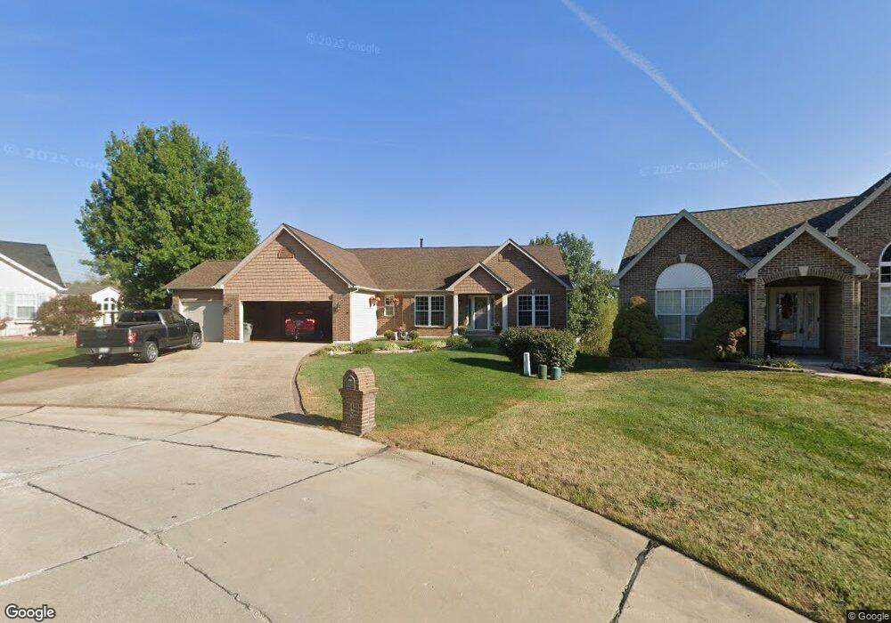
49 Sinclair Ct O Fallon, MO 63366
Estimated Value: $421,000 - $524,000
3
Beds
2
Baths
2,299
Sq Ft
$207/Sq Ft
Est. Value
About This Home
This home is located at 49 Sinclair Ct, O Fallon, MO 63366 and is currently estimated at $474,864, approximately $206 per square foot. 49 Sinclair Ct is a home located in St. Charles County with nearby schools including Joseph L. Mudd Elementary School, Forest Park Elementary School, and Fort Zumwalt North Middle School.
Ownership History
Date
Name
Owned For
Owner Type
Purchase Details
Closed on
Mar 14, 2003
Sold by
S Shapiro & Sons Inc
Bought by
Anderson Reginald and Anderson Constance
Current Estimated Value
Home Financials for this Owner
Home Financials are based on the most recent Mortgage that was taken out on this home.
Original Mortgage
$120,000
Outstanding Balance
$44,935
Interest Rate
4.12%
Estimated Equity
$429,929
Purchase Details
Closed on
Sep 17, 2002
Sold by
C L Investment Company
Bought by
S Shapiro & Sons Inc
Home Financials for this Owner
Home Financials are based on the most recent Mortgage that was taken out on this home.
Original Mortgage
$215,305
Interest Rate
6.26%
Mortgage Type
Construction
Create a Home Valuation Report for This Property
The Home Valuation Report is an in-depth analysis detailing your home's value as well as a comparison with similar homes in the area
Home Values in the Area
Average Home Value in this Area
Purchase History
| Date | Buyer | Sale Price | Title Company |
|---|---|---|---|
| Anderson Reginald | $255,213 | -- | |
| S Shapiro & Sons Inc | -- | -- |
Source: Public Records
Mortgage History
| Date | Status | Borrower | Loan Amount |
|---|---|---|---|
| Open | Anderson Reginald | $120,000 | |
| Previous Owner | S Shapiro & Sons Inc | $215,305 |
Source: Public Records
Tax History
| Year | Tax Paid | Tax Assessment Tax Assessment Total Assessment is a certain percentage of the fair market value that is determined by local assessors to be the total taxable value of land and additions on the property. | Land | Improvement |
|---|---|---|---|---|
| 2025 | $5,250 | $86,488 | -- | -- |
| 2023 | $5,252 | $79,578 | $0 | $0 |
| 2022 | $4,473 | $63,006 | $0 | $0 |
| 2021 | $4,476 | $63,006 | $0 | $0 |
| 2020 | $4,636 | $63,210 | $0 | $0 |
| 2019 | $4,647 | $63,210 | $0 | $0 |
| 2018 | $4,122 | $53,501 | $0 | $0 |
| 2017 | $4,077 | $53,501 | $0 | $0 |
| 2016 | $3,772 | $49,308 | $0 | $0 |
| 2015 | $3,507 | $49,308 | $0 | $0 |
| 2014 | $3,311 | $45,768 | $0 | $0 |
Source: Public Records
Map
Nearby Homes
- 849 Elaine Dr
- 6 Emerson Ct
- 24 Hawthorne Ct
- 710 Longfellow Cir
- 0 Montbrook Dr
- 302 Birmingham Dr
- 1546 Hunters Meadow Dr
- 1548 Hunters Meadow Dr
- 151 N Wellington St
- 140 Park Ridge Dr
- 136 Columbia Meadows Ln
- 127 Columbia Meadows Ln
- 319 Magnolia Valley Dr
- 110 Cobble Rd
- 205 E Elm St
- 201 Allen Dr
- 4 Challenger Ct
- 11 Southern Hills Ct
- 1 Grand Columbia @ Columbia Meadows
- 1 Columbia @ Columbia Meadows
Your Personal Tour Guide
Ask me questions while you tour the home.