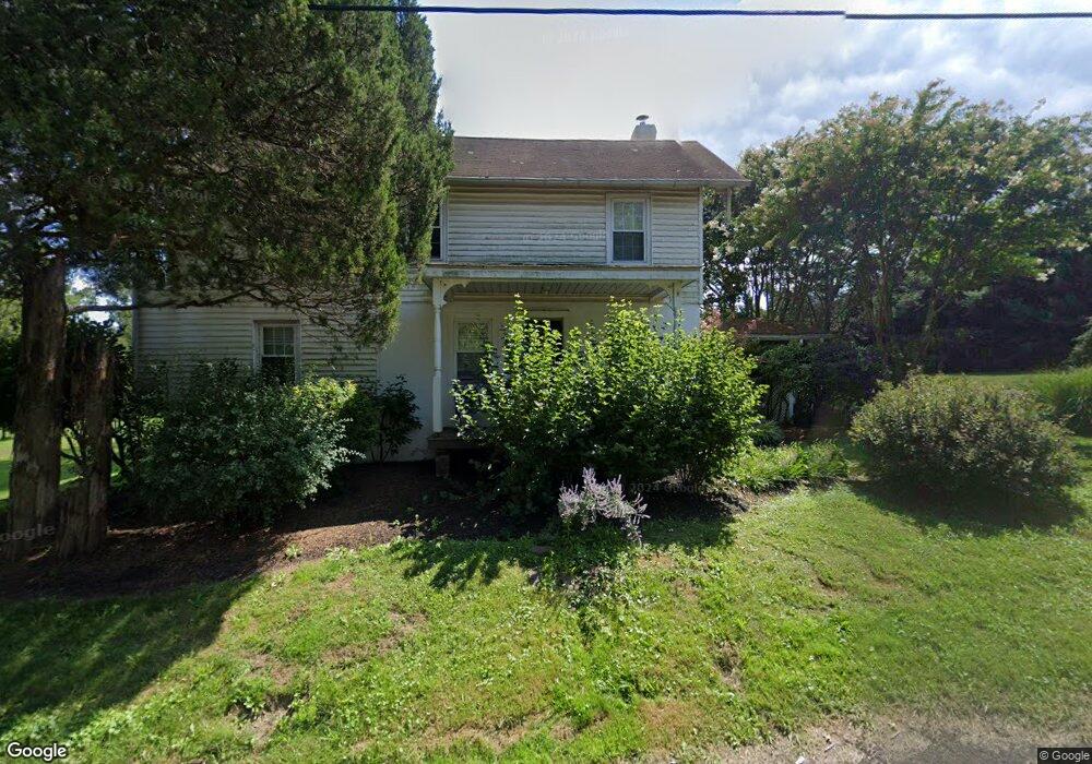
49 Stoopville Rd Newtown, PA 18940
Estimated Value: $571,000 - $1,007,000
3
Beds
1
Bath
1,425
Sq Ft
$511/Sq Ft
Est. Value
About This Home
This home is located at 49 Stoopville Rd, Newtown, PA 18940 and is currently estimated at $728,572, approximately $511 per square foot. 49 Stoopville Rd is a home located in Bucks County with nearby schools including Newtown Elementary School, Newtown Middle School, and Council Rock High School North.
Ownership History
Date
Name
Owned For
Owner Type
Purchase Details
Closed on
Nov 10, 2010
Sold by
Dinardo Michael and Dinardo Jennifer L
Bought by
Dinardo Michael and Dinardo Jennifer L
Current Estimated Value
Purchase Details
Closed on
Jun 27, 2002
Sold by
Adams Wiley Dorothy J and Adams Dorothy J
Bought by
Dinardo Michael and Fowler Jennifer L
Home Financials for this Owner
Home Financials are based on the most recent Mortgage that was taken out on this home.
Original Mortgage
$288,000
Outstanding Balance
$123,041
Interest Rate
6.82%
Estimated Equity
$605,531
Create a Home Valuation Report for This Property
The Home Valuation Report is an in-depth analysis detailing your home's value as well as a comparison with similar homes in the area
Home Values in the Area
Average Home Value in this Area
Purchase History
| Date | Buyer | Sale Price | Title Company |
|---|---|---|---|
| Dinardo Michael | -- | None Available | |
| Dinardo Michael | $360,000 | -- |
Source: Public Records
Mortgage History
| Date | Status | Borrower | Loan Amount |
|---|---|---|---|
| Open | Dinardo Michael | $288,000 |
Source: Public Records
Tax History Compared to Growth
Tax History
| Year | Tax Paid | Tax Assessment Tax Assessment Total Assessment is a certain percentage of the fair market value that is determined by local assessors to be the total taxable value of land and additions on the property. | Land | Improvement |
|---|---|---|---|---|
| 2025 | $5,118 | $28,800 | $10,040 | $18,760 |
| 2024 | $5,118 | $28,800 | $10,040 | $18,760 |
| 2023 | $4,897 | $28,800 | $10,040 | $18,760 |
| 2022 | $4,802 | $28,800 | $10,040 | $18,760 |
| 2021 | $4,728 | $28,800 | $10,040 | $18,760 |
| 2020 | $4,500 | $28,800 | $10,040 | $18,760 |
| 2019 | $4,394 | $28,800 | $10,040 | $18,760 |
| 2018 | $4,310 | $28,800 | $10,040 | $18,760 |
| 2017 | $4,161 | $28,800 | $10,040 | $18,760 |
| 2016 | $4,132 | $28,800 | $10,040 | $18,760 |
| 2015 | -- | $28,800 | $10,040 | $18,760 |
| 2014 | -- | $28,800 | $10,040 | $18,760 |
Source: Public Records
Map
Nearby Homes
- 101 Laurel Cir
- 2212 Society Place Unit D2
- 401 Society Place Unit A1
- 288 Jane Chapman Dr E Unit E
- 702 Society Place Unit A2
- 0 Augusta Dr Unit KINGSWOOD
- 0 Augusta Dr Unit MAYWEATHER
- 0 Augusta Dr Unit RAINTREE
- 0 Augusta Dr Unit CLOVERFIELD
- 0 Augusta Dr Unit ROLLINS
- 0 Augusta Dr Unit LANEY
- Raintree Plan at Lyondale Meadows
- Kingswood Plan at Lyondale Meadows
- Cloverfield Plan at Lyondale Meadows
- Laney Plan at Lyondale Meadows
- Mayweather Plan at Lyondale Meadows
- Rollins Plan at Lyondale Meadows
- 95 Rittenhouse Cir Unit 92
- 316 Monterey Place
- 102 Broadleaf Place