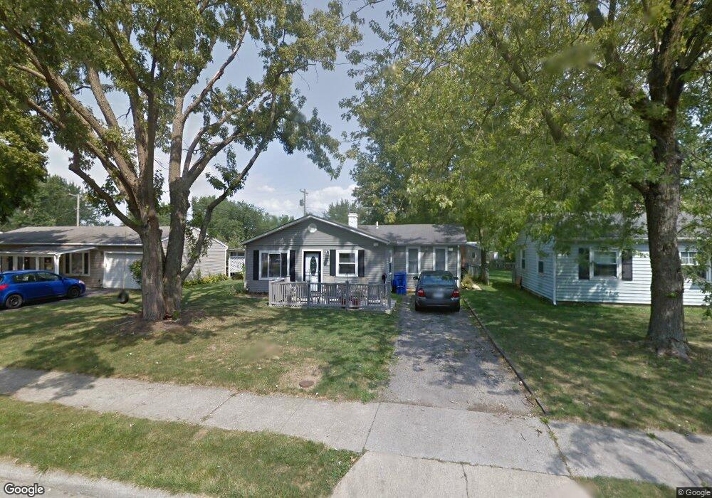
49 Vaughn Rd Delaware, OH 43015
Estimated Value: $236,661 - $274,000
3
Beds
1
Bath
1,200
Sq Ft
$210/Sq Ft
Est. Value
About This Home
This home is located at 49 Vaughn Rd, Delaware, OH 43015 and is currently estimated at $251,665, approximately $209 per square foot. 49 Vaughn Rd is a home located in Delaware County with nearby schools including Robert F. Schultz Elementary School, John C. Dempsey Middle School, and Rutherford B. Hayes High School.
Ownership History
Date
Name
Owned For
Owner Type
Purchase Details
Closed on
Mar 3, 2020
Sold by
Higgins Paul W and Higgins Cindy L
Bought by
Higgins Lori and The Heritage Irrevocable Trust
Current Estimated Value
Purchase Details
Closed on
Nov 22, 2019
Sold by
Higgins Lori
Bought by
Higgins Paul W and Higgins Cindy L
Purchase Details
Closed on
Apr 1, 2019
Sold by
Higgins Paul W and Higgins Cindy L
Bought by
Higgins Lori and Higgins Heritage Irrevocable T
Purchase Details
Closed on
Jul 30, 1992
Bought by
Higgins Paul W Cindy L
Create a Home Valuation Report for This Property
The Home Valuation Report is an in-depth analysis detailing your home's value as well as a comparison with similar homes in the area
Home Values in the Area
Average Home Value in this Area
Purchase History
| Date | Buyer | Sale Price | Title Company |
|---|---|---|---|
| Higgins Lori | -- | None Available | |
| Higgins Paul W | -- | None Available | |
| Higgins Lori | -- | None Available | |
| Higgins Lori | -- | None Available | |
| Higgins Paul W Cindy L | $58,500 | -- |
Source: Public Records
Tax History
| Year | Tax Paid | Tax Assessment Tax Assessment Total Assessment is a certain percentage of the fair market value that is determined by local assessors to be the total taxable value of land and additions on the property. | Land | Improvement |
|---|---|---|---|---|
| 2024 | $2,991 | $63,350 | $15,050 | $48,300 |
| 2023 | $2,997 | $63,350 | $15,050 | $48,300 |
| 2022 | $2,793 | $51,250 | $10,120 | $41,130 |
| 2021 | $2,855 | $51,250 | $10,120 | $41,130 |
| 2020 | $2,888 | $51,250 | $10,120 | $41,130 |
| 2019 | $2,446 | $39,340 | $9,100 | $30,240 |
| 2018 | $2,480 | $39,340 | $9,100 | $30,240 |
| 2017 | $2,348 | $38,720 | $7,880 | $30,840 |
| 2016 | $2,228 | $38,720 | $7,880 | $30,840 |
| 2015 | $2,241 | $38,720 | $7,880 | $30,840 |
| 2014 | $2,277 | $38,720 | $7,880 | $30,840 |
| 2013 | $2,219 | $37,530 | $7,880 | $29,650 |
Source: Public Records
Map
Nearby Homes
- 90 Richards Dr
- 154 Penick Ave
- 238 Richards Dr
- 181 Delaware Dr
- 351 W William St
- 100 Gold Dust Ct
- 297 W William St
- 103 Oak Hill Ave
- 112 Silverline Dr
- 100 Quarry Ct
- 102 Troy Rd
- 440 Steeplechase St
- 27 Woodland Ave
- 168 London Rd
- 865 Canal St
- 53 Neil St
- 65 Neil St
- 1016 Boulder Dr
- 195 Lenell Loop
- 345 Lenell Loop
Your Personal Tour Guide
Ask me questions while you tour the home.