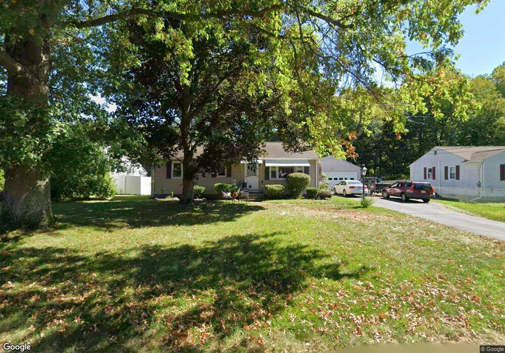
49 Vincent Dr West Springfield, MA 01089
Estimated Value: $288,000 - $326,000
3
Beds
1
Bath
960
Sq Ft
$326/Sq Ft
Est. Value
About This Home
This home is located at 49 Vincent Dr, West Springfield, MA 01089 and is currently estimated at $312,974, approximately $326 per square foot. 49 Vincent Dr is a home located in Hampden County with nearby schools including West Springfield High School, Hampden Charter School of Science West, and St Thomas The Apostle School.
Create a Home Valuation Report for This Property
The Home Valuation Report is an in-depth analysis detailing your home's value as well as a comparison with similar homes in the area
Home Values in the Area
Average Home Value in this Area
Tax History Compared to Growth
Tax History
| Year | Tax Paid | Tax Assessment Tax Assessment Total Assessment is a certain percentage of the fair market value that is determined by local assessors to be the total taxable value of land and additions on the property. | Land | Improvement |
|---|---|---|---|---|
| 2025 | $3,535 | $237,700 | $109,600 | $128,100 |
| 2024 | $3,494 | $235,900 | $109,600 | $126,300 |
| 2023 | $3,403 | $219,000 | $109,600 | $109,400 |
| 2022 | $3,106 | $197,100 | $99,500 | $97,600 |
| 2021 | $3,013 | $178,300 | $92,800 | $85,500 |
| 2020 | $3,029 | $178,300 | $92,800 | $85,500 |
| 2019 | $3,024 | $178,300 | $92,800 | $85,500 |
| 2018 | $3,040 | $178,300 | $92,800 | $85,500 |
| 2017 | $3,040 | $178,300 | $92,800 | $85,500 |
| 2016 | $2,983 | $175,600 | $89,100 | $86,500 |
| 2015 | $2,929 | $172,400 | $87,300 | $85,100 |
| 2014 | $710 | $172,400 | $87,300 | $85,100 |
Source: Public Records
Map
Nearby Homes
- 89 Vincent Dr
- 75 Birnie Ave
- 86 Birnie Ave
- 43 Wishing Well Way
- Lot 3 Hyde Rd
- 34 High Meadow Dr
- 236 Forest Glen
- 36 Shady Brook
- 64 Apple Ridge Rd
- 81 Laurence Dr
- 32 Windpath E
- 147 Grandview Ave
- 59 Beech Hill Rd
- 65 Verdugo St
- 16 North St
- 260 Wolcott Ave
- 145 Amostown Rd
- 26 Clayton Dr
- 43 Greenleaf Ave
- 114 Connecticut Ave