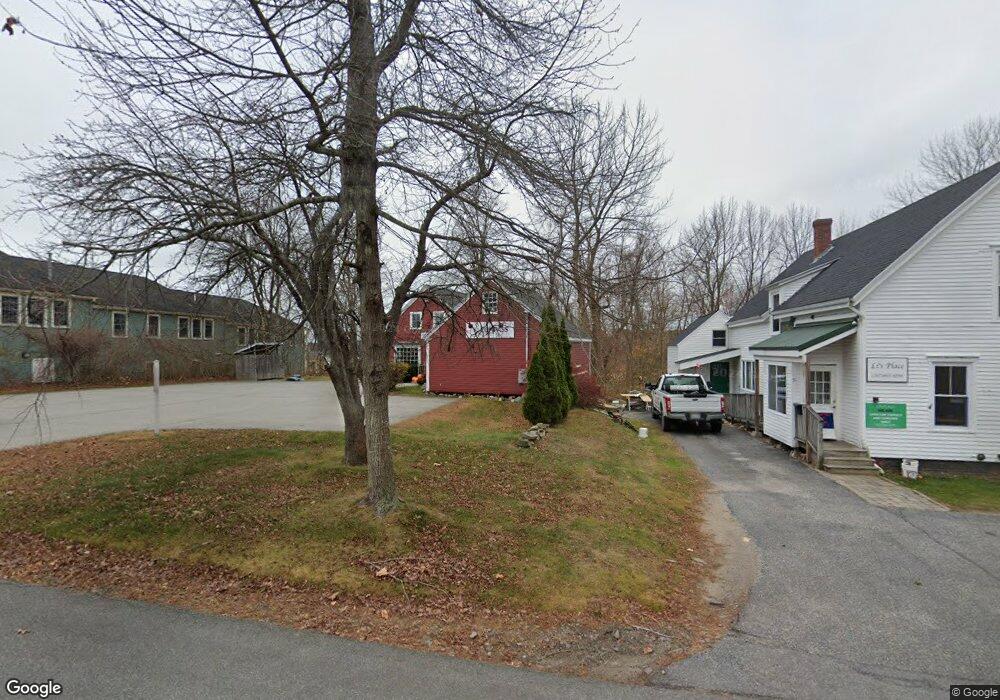
49 West St Freeport, ME 04032
Estimated Value: $535,000 - $621,000
2
Beds
2
Baths
1,871
Sq Ft
$308/Sq Ft
Est. Value
About This Home
This home is located at 49 West St, Freeport, ME 04032 and is currently estimated at $575,409, approximately $307 per square foot. 49 West St is a home located in Cumberland County with nearby schools including Morse Street School, Mast Landing School, and Freeport Middle School.
Create a Home Valuation Report for This Property
The Home Valuation Report is an in-depth analysis detailing your home's value as well as a comparison with similar homes in the area
Home Values in the Area
Average Home Value in this Area
Tax History
| Year | Tax Paid | Tax Assessment Tax Assessment Total Assessment is a certain percentage of the fair market value that is determined by local assessors to be the total taxable value of land and additions on the property. | Land | Improvement |
|---|---|---|---|---|
| 2025 | $5,723 | $413,200 | $201,500 | $211,700 |
| 2024 | $5,387 | $403,500 | $191,800 | $211,700 |
| 2023 | $5,019 | $365,000 | $181,500 | $183,500 |
| 2022 | $4,515 | $330,800 | $147,300 | $183,500 |
| 2021 | $4,416 | $330,800 | $147,300 | $183,500 |
| 2020 | $4,278 | $305,600 | $136,400 | $169,200 |
| 2019 | $4,148 | $290,100 | $128,600 | $161,500 |
| 2018 | $3,954 | $262,700 | $113,200 | $149,500 |
| 2017 | $3,791 | $253,600 | $111,000 | $142,600 |
| 2016 | $6,202 | $235,100 | $102,800 | $132,300 |
| 2015 | $3,721 | $221,500 | $97,600 | $123,900 |
| 2014 | $3,500 | $221,500 | $97,600 | $123,900 |
| 2013 | $3,541 | $223,400 | $97,700 | $125,700 |
Source: Public Records
Map
Nearby Homes
- 5 Holbrook St
- 15 Linwood Rd Unit 15
- 39 Hunter Rd
- 10 Durham Rd
- 212 Main St
- 42 Durham Rd
- 11 Orchard Hill Rd
- 26 Harvest Ridge Rd Unit 24
- 20 Harvest Ridge Rd Unit 23
- 52 Birch Point Rd
- 8 Statler Ln
- 1 Wardtown Rd
- 1260 Us Route 1
- 10 Prout Rd
- 15 Tinkers Way
- 62 Webster Rd
- 143 Bragdon Rd
- 4 Harper's Trail
- 0 Prout Rd
- 2 Tidal Brook Rd
Your Personal Tour Guide
Ask me questions while you tour the home.