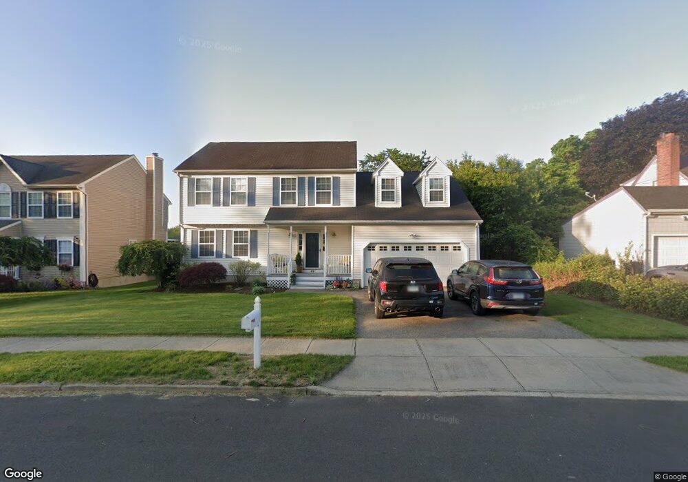
49 Windsor Rd Milford, CT 06460
East Milford NeighborhoodEstimated Value: $655,000 - $863,000
4
Beds
3
Baths
2,370
Sq Ft
$319/Sq Ft
Est. Value
About This Home
This home is located at 49 Windsor Rd, Milford, CT 06460 and is currently estimated at $755,780, approximately $318 per square foot. 49 Windsor Rd is a home located in New Haven County with nearby schools including Live Oaks School, East Shore Middle School, and Joseph A. Foran High School.
Ownership History
Date
Name
Owned For
Owner Type
Purchase Details
Closed on
Apr 11, 1996
Sold by
Bamf Homes Ltd
Bought by
Deroberti Vincent J and Lynn Deroberts N
Current Estimated Value
Home Financials for this Owner
Home Financials are based on the most recent Mortgage that was taken out on this home.
Original Mortgage
$160,400
Outstanding Balance
$7,579
Interest Rate
7.39%
Mortgage Type
Unknown
Estimated Equity
$748,201
Create a Home Valuation Report for This Property
The Home Valuation Report is an in-depth analysis detailing your home's value as well as a comparison with similar homes in the area
Home Values in the Area
Average Home Value in this Area
Purchase History
| Date | Buyer | Sale Price | Title Company |
|---|---|---|---|
| Deroberti Vincent J | $202,440 | -- | |
| Deroberti Vincent J | $202,440 | -- |
Source: Public Records
Mortgage History
| Date | Status | Borrower | Loan Amount |
|---|---|---|---|
| Open | Deroberti Vincent J | $160,400 | |
| Closed | Deroberti Vincent J | $160,400 |
Source: Public Records
Tax History Compared to Growth
Tax History
| Year | Tax Paid | Tax Assessment Tax Assessment Total Assessment is a certain percentage of the fair market value that is determined by local assessors to be the total taxable value of land and additions on the property. | Land | Improvement |
|---|---|---|---|---|
| 2025 | $10,662 | $360,810 | $115,590 | $245,220 |
| 2024 | $10,514 | $360,810 | $115,590 | $245,220 |
| 2023 | $9,803 | $360,810 | $115,590 | $245,220 |
| 2022 | $9,616 | $360,810 | $115,590 | $245,220 |
| 2021 | $7,840 | $283,530 | $78,540 | $204,990 |
| 2020 | $7,848 | $283,530 | $78,540 | $204,990 |
| 2019 | $7,857 | $283,530 | $78,540 | $204,990 |
| 2018 | $7,865 | $283,530 | $78,540 | $204,990 |
| 2017 | $7,879 | $283,530 | $78,540 | $204,990 |
| 2016 | $7,838 | $281,540 | $78,540 | $203,000 |
| 2015 | $7,849 | $281,540 | $78,540 | $203,000 |
| 2014 | $7,664 | $281,540 | $78,540 | $203,000 |
Source: Public Records
Map
Nearby Homes
- 36 Kenwood Rd
- 18 Riverdale Rd
- 26 Riverdale Rd
- 30 Salem Walk
- 15 Greenwich Way
- 64 Greenwich Way
- 35 Whippoorwill Dr
- 32 Wall St
- 29 Anderson Ave
- 1120 New Haven Ave Unit 148
- 6 Howe St
- 207 Merwin Ave
- 40 Hawley Ave
- 29 Meetinghouse Ln
- 1080 New Haven Ave Unit 113
- 152 Beach Ave
- 79 Cooper Rd
- 25 Village Rd
- 28 Live Oaks Rd
- 49 Merwin Ave Unit 49