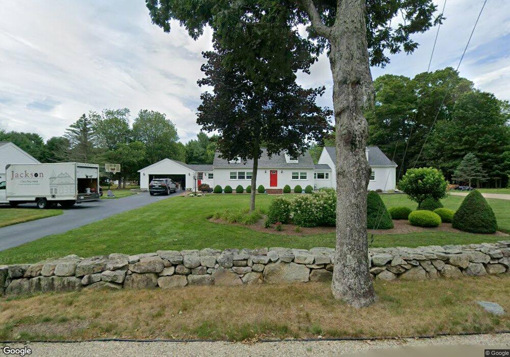
49 Winter St Kingston, MA 02364
Estimated Value: $680,000 - $786,000
3
Beds
2
Baths
1,440
Sq Ft
$516/Sq Ft
Est. Value
About This Home
This home is located at 49 Winter St, Kingston, MA 02364 and is currently estimated at $743,341, approximately $516 per square foot. 49 Winter St is a home located in Plymouth County with nearby schools including Silver Lake Regional High School, Kingston Elementary School, and Kingston Intermediate School.
Ownership History
Date
Name
Owned For
Owner Type
Purchase Details
Closed on
Mar 26, 2024
Sold by
Szachta Gregory J
Bought by
Szachta T T and Szachta S
Current Estimated Value
Purchase Details
Closed on
May 29, 1998
Sold by
Lirosi Raymond J and Lirosi Kerrie L
Bought by
Szachta Gregory J
Purchase Details
Closed on
Mar 27, 1990
Sold by
Gosselin J Robert F
Bought by
Lirosi 3D Raymond J
Create a Home Valuation Report for This Property
The Home Valuation Report is an in-depth analysis detailing your home's value as well as a comparison with similar homes in the area
Home Values in the Area
Average Home Value in this Area
Purchase History
| Date | Buyer | Sale Price | Title Company |
|---|---|---|---|
| Szachta T T | -- | None Available | |
| Szachta T T | -- | None Available | |
| Szachta Gregory J | $159,000 | -- | |
| Szachta Gregory J | $159,000 | -- | |
| Lirosi 3D Raymond J | $142,000 | -- | |
| Lirosi 3D Raymond J | $142,000 | -- |
Source: Public Records
Mortgage History
| Date | Status | Borrower | Loan Amount |
|---|---|---|---|
| Previous Owner | Lirosi 3D Raymond J | $170,550 | |
| Previous Owner | Lirosi 3D Raymond J | $185,000 |
Source: Public Records
Tax History Compared to Growth
Tax History
| Year | Tax Paid | Tax Assessment Tax Assessment Total Assessment is a certain percentage of the fair market value that is determined by local assessors to be the total taxable value of land and additions on the property. | Land | Improvement |
|---|---|---|---|---|
| 2025 | $8,384 | $646,400 | $204,000 | $442,400 |
| 2024 | $7,729 | $608,100 | $178,000 | $430,100 |
| 2023 | $7,384 | $552,700 | $178,000 | $374,700 |
| 2022 | $7,426 | $509,300 | $162,300 | $347,000 |
| 2021 | $7,567 | $470,600 | $162,300 | $308,300 |
| 2020 | $2,411 | $455,100 | $162,300 | $292,800 |
| 2019 | $6,930 | $421,000 | $162,300 | $258,700 |
| 2018 | $5,832 | $386,800 | $162,300 | $224,500 |
| 2017 | $6,113 | $370,500 | $157,600 | $212,900 |
| 2016 | $5,325 | $302,400 | $144,300 | $158,100 |
| 2015 | $4,799 | $283,300 | $144,300 | $139,000 |
| 2014 | $4,692 | $281,300 | $144,300 | $137,000 |
Source: Public Records
Map
Nearby Homes
- 0 Wildwood Cir
- 65 Hitty Tom Rd
- 9 Montclair Ave
- 96 Lake Shore Dr
- 15 Autumn Ave
- 7 Green Holly Dr
- 46 Foxworth Ln
- 61 Chapel St
- 7 Barbara Rd
- 1 Strawberry Ln
- 42 Trout Farm Ln Unit 2
- 64 Trout Farm Ln
- 6 Kingstown Way
- 26 Brookings Dr
- 202 Birch St
- 79 Wapping Rd
- 25 Nelson St
- 97 Wapping Rd
- 17 Trout Farm Ln
- 83 Wapping Rd