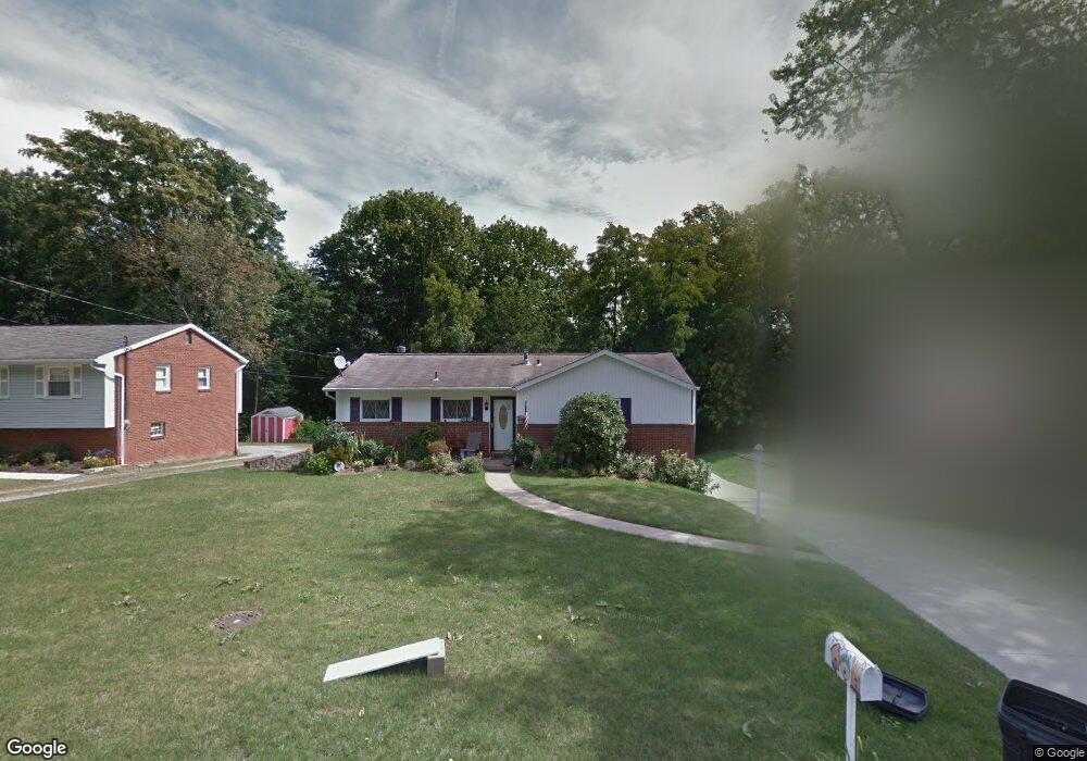
490 Amherst Ave Coraopolis, PA 15108
Estimated Value: $260,000 - $339,000
3
Beds
2
Baths
1,058
Sq Ft
$269/Sq Ft
Est. Value
About This Home
This home is located at 490 Amherst Ave, Coraopolis, PA 15108 and is currently estimated at $284,550, approximately $268 per square foot. 490 Amherst Ave is a home located in Allegheny County with nearby schools including Moon Area High School, Rhema Christian School, and Montessori Children's Community.
Ownership History
Date
Name
Owned For
Owner Type
Purchase Details
Closed on
May 30, 2007
Sold by
Bricknell Brian
Bought by
Burke Mark
Current Estimated Value
Home Financials for this Owner
Home Financials are based on the most recent Mortgage that was taken out on this home.
Original Mortgage
$139,500
Outstanding Balance
$85,590
Interest Rate
6.24%
Mortgage Type
New Conventional
Estimated Equity
$198,960
Purchase Details
Closed on
Feb 25, 1999
Sold by
Derbaum Fred E and Derbaum Diane M
Bought by
Casteel Carrie E
Purchase Details
Closed on
Jan 1, 1900
Create a Home Valuation Report for This Property
The Home Valuation Report is an in-depth analysis detailing your home's value as well as a comparison with similar homes in the area
Home Values in the Area
Average Home Value in this Area
Purchase History
| Date | Buyer | Sale Price | Title Company |
|---|---|---|---|
| Burke Mark | $155,000 | -- | |
| Casteel Carrie E | $86,000 | -- | |
| -- | -- | -- |
Source: Public Records
Mortgage History
| Date | Status | Borrower | Loan Amount |
|---|---|---|---|
| Open | Burke Mark | $139,500 |
Source: Public Records
Tax History
| Year | Tax Paid | Tax Assessment Tax Assessment Total Assessment is a certain percentage of the fair market value that is determined by local assessors to be the total taxable value of land and additions on the property. | Land | Improvement |
|---|---|---|---|---|
| 2025 | $3,541 | $113,300 | $42,200 | $71,100 |
| 2024 | $3,541 | $113,300 | $42,200 | $71,100 |
| 2023 | $3,415 | $113,300 | $42,200 | $71,100 |
| 2022 | $3,415 | $113,300 | $42,200 | $71,100 |
| 2021 | $3,415 | $113,300 | $42,200 | $71,100 |
| 2020 | $3,330 | $113,300 | $42,200 | $71,100 |
| 2019 | $3,239 | $113,300 | $42,200 | $71,100 |
| 2017 | $3,062 | $113,300 | $42,200 | $71,100 |
Source: Public Records
Map
Nearby Homes
- 133 Tory Rd
- 108 Shippen Dr
- 5085 Sanlin Dr
- 5081 Sanlin Dr
- 4078 Sanlin Dr
- 206 Walton Cir
- 208 Walton Cir
- 747 Parkridge Ln
- 314 Forest Green Dr Unit 314
- 631 Forest Green Dr
- 611 Forest Green Dr
- 212 Serendipity Dr Unit C212
- 1000 College Park Dr
- 1115 Forest Green Dr
- 1333 Forest Green Dr Unit 1333
- 1332 Forest Green Dr Unit 1332
- 1434 Forest Green Dr
- 208 Mccartney Dr
- 2204 Greystone Dr
- 3503 Warwick Ct
- 492 Amherst Ave
- 488 Amherst Ave
- 494 Amherst Ave
- 486 Amherst Ave
- 487 Amherst Ave
- 489 Amherst Ave
- 491 Amherst Ave
- 484 Amherst Ave
- 485 Amherst Ave
- 496 Amherst Ave
- 483 Amherst Ave
- 482 Amherst Ave
- 493 Amherst Ave
- 498 Amherst Ave
- 495 Amherst Ave
- 171 Greenlea Dr
- 169 Greenlea Dr
- 173 Greenlea Dr
- 167 Greenlea Dr
- 479 Amherst Ave
Your Personal Tour Guide
Ask me questions while you tour the home.