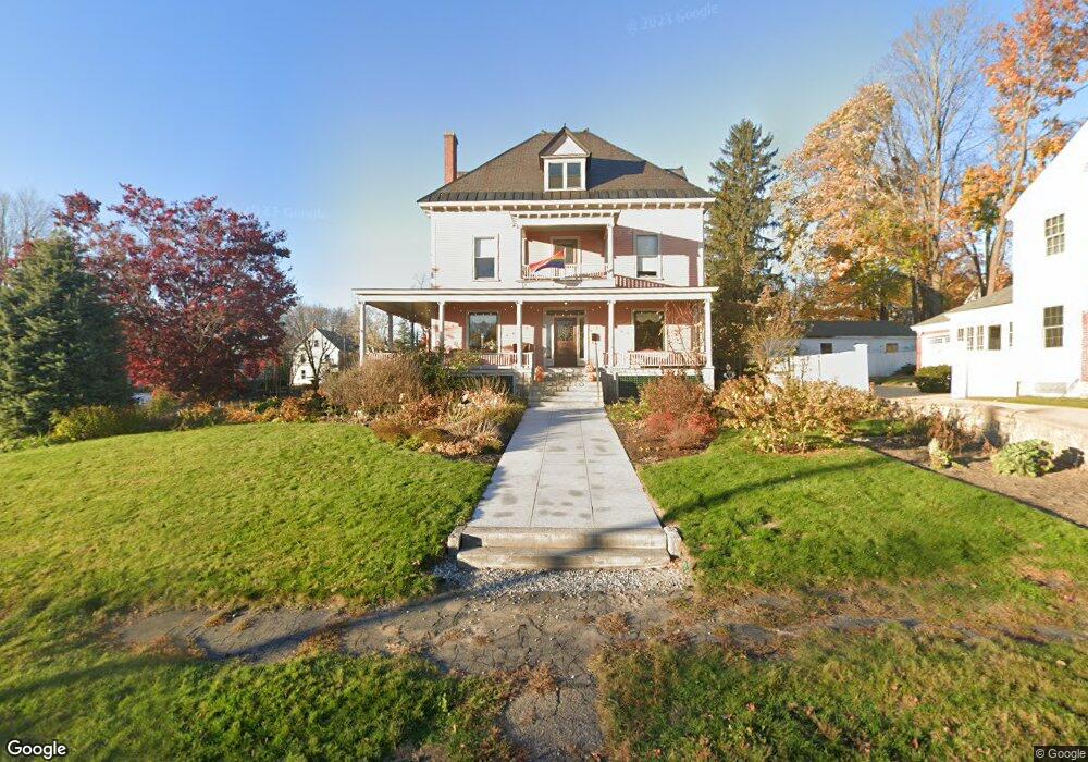
490 Amherst St Manchester, NH 03104
Hanover Hill NeighborhoodEstimated Value: $522,000 - $707,000
6
Beds
3
Baths
4,257
Sq Ft
$148/Sq Ft
Est. Value
About This Home
This home is located at 490 Amherst St, Manchester, NH 03104 and is currently estimated at $631,080, approximately $148 per square foot. 490 Amherst St is a home located in Hillsborough County with nearby schools including McDonough Elementary School, Hillside Middle School, and Manchester Central High School.
Ownership History
Date
Name
Owned For
Owner Type
Purchase Details
Closed on
Jul 8, 2010
Sold by
Smestad Rhonnie J
Bought by
Duffy 2Nd Michael J and Cornish Stephen C
Current Estimated Value
Home Financials for this Owner
Home Financials are based on the most recent Mortgage that was taken out on this home.
Original Mortgage
$357,000
Outstanding Balance
$237,942
Interest Rate
4.78%
Mortgage Type
Purchase Money Mortgage
Estimated Equity
$393,138
Purchase Details
Closed on
May 1, 1996
Sold by
Robert W Wessner Revoc
Bought by
Smestad Dennis C
Home Financials for this Owner
Home Financials are based on the most recent Mortgage that was taken out on this home.
Original Mortgage
$143,200
Interest Rate
7.82%
Create a Home Valuation Report for This Property
The Home Valuation Report is an in-depth analysis detailing your home's value as well as a comparison with similar homes in the area
Home Values in the Area
Average Home Value in this Area
Purchase History
| Date | Buyer | Sale Price | Title Company |
|---|---|---|---|
| Duffy 2Nd Michael J | $350,000 | -- | |
| Smestad Dennis C | $179,000 | -- |
Source: Public Records
Mortgage History
| Date | Status | Borrower | Loan Amount |
|---|---|---|---|
| Open | Smestad Dennis C | $357,000 | |
| Previous Owner | Smestad Dennis C | $312,650 | |
| Previous Owner | Smestad Dennis C | $143,200 |
Source: Public Records
Tax History Compared to Growth
Tax History
| Year | Tax Paid | Tax Assessment Tax Assessment Total Assessment is a certain percentage of the fair market value that is determined by local assessors to be the total taxable value of land and additions on the property. | Land | Improvement |
|---|---|---|---|---|
| 2024 | $9,900 | $505,600 | $99,000 | $406,600 |
| 2023 | $9,536 | $505,600 | $99,000 | $406,600 |
| 2022 | $9,222 | $505,600 | $99,000 | $406,600 |
| 2021 | $8,939 | $505,600 | $99,000 | $406,600 |
| 2020 | $6,564 | $362,800 | $71,900 | $290,900 |
| 2019 | $8,823 | $362,800 | $71,900 | $290,900 |
| 2018 | $8,315 | $362,800 | $71,900 | $290,900 |
| 2017 | $8,460 | $362,800 | $71,900 | $290,900 |
| 2016 | $8,395 | $362,800 | $71,900 | $290,900 |
| 2015 | $8,103 | $345,700 | $71,900 | $273,800 |
| 2014 | $8,124 | $345,700 | $71,900 | $273,800 |
| 2013 | $7,837 | $345,700 | $71,900 | $273,800 |
Source: Public Records
Map
Nearby Homes
- 601 Hall St
- 383 Concord St Hcrd Plan 42577
- 527 Hanover St
- 445 E High St
- 426 Manchester St
- 352 Lowell St
- 14 Dufort St
- 330 Bridge St
- 383 Manchester St
- 379 Manchester St
- 377 Manchester St
- 362 Amherst St
- 21 South St
- 53 Arlington St
- 662 Amherst St
- 41 Russell St
- 567 Cedar St
- 10 Hayes Ave
- 269 Orange St
- 870 Hall St
- 494 Amherst St
- 498 Amherst St
- 585 Belmont St
- 487 Amherst St
- 582 Belmont St
- 574 Belmont St
- 489 Amherst St
- 485 Amherst St
- 493 Amherst St
- 497 Amherst St
- 502 Amherst St
- 564 Belmont St
- 495 Concord St
- 557 Belmont St
- 472 Amherst St
- 423 Concord St Unit B
- 423 Concord St Unit A
- 423 Concord St Unit 423
- 506 Amherst St
- 503 Amherst St