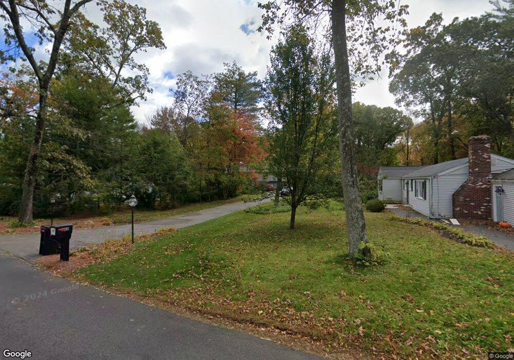
490 Belknap Rd Framingham, MA 01701
Estimated Value: $662,000 - $788,000
3
Beds
3
Baths
1,260
Sq Ft
$582/Sq Ft
Est. Value
About This Home
This home is located at 490 Belknap Rd, Framingham, MA 01701 and is currently estimated at $733,921, approximately $582 per square foot. 490 Belknap Rd is a home located in Middlesex County with nearby schools including Framingham High School, Summit Montessori School, and Sudbury Valley School.
Ownership History
Date
Name
Owned For
Owner Type
Purchase Details
Closed on
May 11, 2016
Sold by
Kravitz Matthew T and Holmes-Kravitz Victoria
Bought by
Kravitz Ret and Kravitz
Current Estimated Value
Purchase Details
Closed on
Apr 11, 1985
Bought by
Kravitz Matthew T and Holmes-Kravitz Victoria
Create a Home Valuation Report for This Property
The Home Valuation Report is an in-depth analysis detailing your home's value as well as a comparison with similar homes in the area
Home Values in the Area
Average Home Value in this Area
Purchase History
| Date | Buyer | Sale Price | Title Company |
|---|---|---|---|
| Kravitz Ret | -- | -- | |
| Kravitz Ret | -- | -- | |
| Kravitz Matthew T | -- | -- |
Source: Public Records
Mortgage History
| Date | Status | Borrower | Loan Amount |
|---|---|---|---|
| Previous Owner | Kravitz Matthew T | $80,000 | |
| Previous Owner | Kravitz Matthew T | $43,000 |
Source: Public Records
Tax History
| Year | Tax Paid | Tax Assessment Tax Assessment Total Assessment is a certain percentage of the fair market value that is determined by local assessors to be the total taxable value of land and additions on the property. | Land | Improvement |
|---|---|---|---|---|
| 2025 | $8,229 | $689,200 | $318,100 | $371,100 |
| 2024 | $7,766 | $623,300 | $283,400 | $339,900 |
| 2023 | $7,482 | $571,600 | $261,100 | $310,500 |
| 2022 | $7,146 | $520,100 | $237,200 | $282,900 |
| 2021 | $7,182 | $511,200 | $227,900 | $283,300 |
| 2020 | $7,243 | $483,500 | $207,300 | $276,200 |
| 2019 | $6,763 | $439,700 | $183,800 | $255,900 |
| 2018 | $6,763 | $414,400 | $180,200 | $234,200 |
| 2017 | $6,529 | $390,700 | $174,900 | $215,800 |
| 2016 | $6,472 | $372,400 | $176,500 | $195,900 |
| 2015 | $6,376 | $357,800 | $176,800 | $181,000 |
Source: Public Records
Map
Nearby Homes
- 15 Woodmere Rd
- 401 Belknap Rd
- 10 Bellwood Way
- 11 Bellwood Way
- 5 Lavelle Ln
- 1 Vaillencourt Dr
- 21 Pleasantview Terrace
- 10 Tanglewood Dr Unit 10
- 576 Grove St
- 6 Tally Ho Ln
- 179 Pleasant St
- 1321 Worcester Rd Unit 603
- 1321 Worcester Rd Unit 201
- 1321 Worcester Rd Unit 610
- 37 Ledgewood Rd
- 32 Lyman Rd
- 484 Edgell Rd
- 1186 Worcester Rd Unit 610
- 55 Ledgewood Rd
- 1550 Worcester Rd Unit 101
Your Personal Tour Guide
Ask me questions while you tour the home.