490 Currahee Ridge Rd Toccoa, GA 30577
Estimated Value: $303,832 - $659,000
3
Beds
2
Baths
1,568
Sq Ft
$302/Sq Ft
Est. Value
About This Home
This home is located at 490 Currahee Ridge Rd, Toccoa, GA 30577 and is currently estimated at $473,944, approximately $302 per square foot. 490 Currahee Ridge Rd is a home located in Stephens County with nearby schools including Stephens County High School.
Ownership History
Date
Name
Owned For
Owner Type
Purchase Details
Closed on
Jun 9, 2010
Sold by
Reuther Barbara
Bought by
Reuther Loyd
Current Estimated Value
Purchase Details
Closed on
Dec 4, 2002
Bought by
Reuther Loyd and Reuther Barbara
Purchase Details
Closed on
Dec 7, 1999
Bought by
<Buyer Info Not Present>
Purchase Details
Closed on
Dec 1, 1995
Bought by
<Buyer Info Not Present>
Purchase Details
Closed on
Apr 1, 1995
Bought by
<Buyer Info Not Present>
Create a Home Valuation Report for This Property
The Home Valuation Report is an in-depth analysis detailing your home's value as well as a comparison with similar homes in the area
Purchase History
| Date | Buyer | Sale Price | Title Company |
|---|---|---|---|
| Reuther Loyd | -- | -- | |
| Reuther Loyd | $129,900 | -- | |
| <Buyer Info Not Present> | $12,500 | -- | |
| <Buyer Info Not Present> | $10,200 | -- | |
| <Buyer Info Not Present> | $15,000 | -- |
Source: Public Records
Tax History
| Year | Tax Paid | Tax Assessment Tax Assessment Total Assessment is a certain percentage of the fair market value that is determined by local assessors to be the total taxable value of land and additions on the property. | Land | Improvement |
|---|---|---|---|---|
| 2025 | $1,275 | $96,567 | $6,177 | $90,390 |
| 2024 | $968 | $66,857 | $6,177 | $60,680 |
| 2023 | $831 | $62,809 | $6,177 | $56,632 |
| 2022 | $741 | $59,783 | $6,177 | $53,606 |
| 2021 | $691 | $56,975 | $6,177 | $50,798 |
| 2020 | $690 | $56,732 | $6,177 | $50,555 |
| 2019 | $581 | $53,217 | $6,177 | $47,040 |
| 2018 | $581 | $53,217 | $6,177 | $47,040 |
| 2017 | $592 | $53,217 | $6,177 | $47,040 |
| 2016 | $587 | $53,216 | $6,176 | $47,040 |
| 2015 | $617 | $53,216 | $6,176 | $47,040 |
| 2014 | $626 | $53,217 | $6,177 | $47,040 |
| 2013 | -- | $53,216 | $6,176 | $47,040 |
Source: Public Records
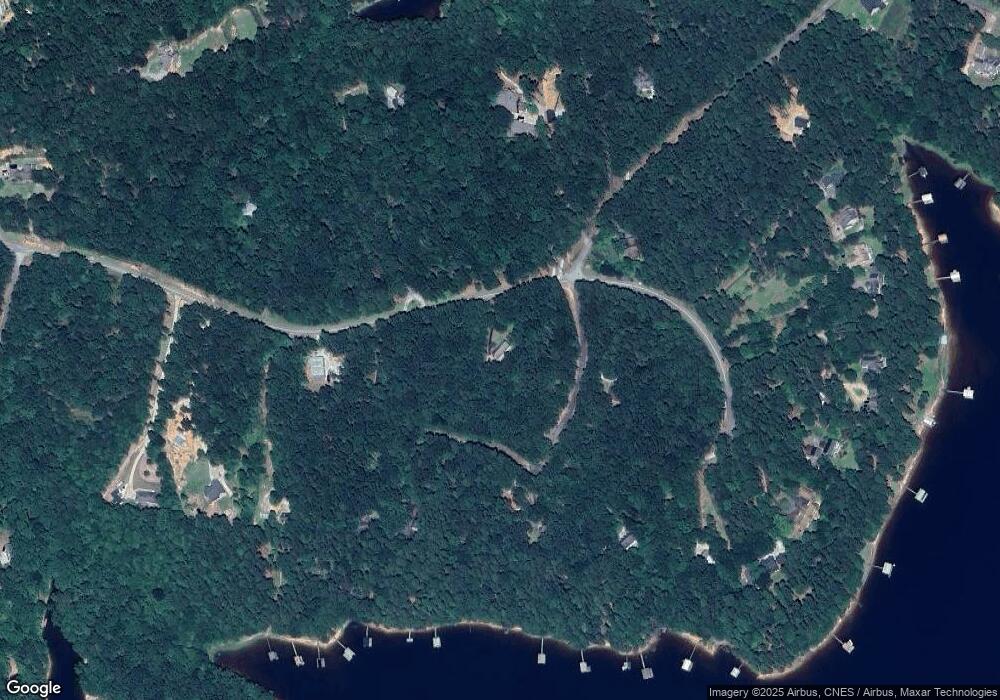
Map
Nearby Homes
- 49 Currahee Point
- 287 Spring Branch Cir
- 455 Chase Landing Rd
- 604 Mckinney Way
- 347 River Trail
- 206 Goff Dr
- 679 Suttles Rd
- 1687 Jenkins Ferry Rd
- 0 Cheyenne Trail Unit 10711355
- 567 Suttles Rd
- 571 Suttles Rd
- 104 Overlook Dr
- 9B Lost Forest Dr
- 0 Lost Forest Dr
- 120 Ridgemore Cir
- 223 Brookside Dr
- 333 Oliver Rd
- Lot 9 Block A Brookside Dr
- 1 Brookside Dr
- LOT 7 Springview Dr
- 429 Currahee Ridge
- 429 Currahee Ridge Rd
- 55 Currahee Ct
- 55 Currahee Ct
- 55 Currahee Ct
- 64 Hosea Dr
- 116 Currahee Ct
- 28 Currahee Point
- 28 Currahee Point
- 28 Currahee Point
- 28 Currahee Point
- 128 Tranquility Ln
- 346 Currahee Ridge Rd
- 73 Tranquility Ln
- 117 Currahee Ct
- 107 Currahee Ct
- 0 Currahee Ridge Unit 2616925
- 0 Currahee Ridge Unit LOT 26 3089802
- 0 Currahee Ridge Unit 28C,28D,29 7075978
- 0 Currahee Ridge Unit LOT 26 7186725
Your Personal Tour Guide
Ask me questions while you tour the home.