490 Ferry Point Rd Annapolis, MD 21403
Estimated Value: $2,316,000 - $4,270,574
Studio
5
Baths
5,776
Sq Ft
$570/Sq Ft
Est. Value
About This Home
This home is located at 490 Ferry Point Rd, Annapolis, MD 21403 and is currently estimated at $3,293,287, approximately $570 per square foot. 490 Ferry Point Rd is a home located in Anne Arundel County with nearby schools including Hillsmere Elementary School, Annapolis Middle School, and Annapolis High School.
Ownership History
Date
Name
Owned For
Owner Type
Purchase Details
Closed on
Jun 7, 2001
Sold by
Angell Philip S
Bought by
Milan Thomas L and Milan Mary A
Current Estimated Value
Purchase Details
Closed on
May 3, 1994
Sold by
Copeland William T
Bought by
Angell Philip S
Home Financials for this Owner
Home Financials are based on the most recent Mortgage that was taken out on this home.
Original Mortgage
$300,000
Interest Rate
7.7%
Create a Home Valuation Report for This Property
The Home Valuation Report is an in-depth analysis detailing your home's value as well as a comparison with similar homes in the area
Home Values in the Area
Average Home Value in this Area
Purchase History
| Date | Buyer | Sale Price | Title Company |
|---|---|---|---|
| Milan Thomas L | $950,000 | -- | |
| Angell Philip S | $575,000 | -- |
Source: Public Records
Mortgage History
| Date | Status | Borrower | Loan Amount |
|---|---|---|---|
| Previous Owner | Angell Philip S | $300,000 | |
| Closed | Milan Thomas L | -- |
Source: Public Records
Tax History
| Year | Tax Paid | Tax Assessment Tax Assessment Total Assessment is a certain percentage of the fair market value that is determined by local assessors to be the total taxable value of land and additions on the property. | Land | Improvement |
|---|---|---|---|---|
| 2025 | $29,292 | $4,039,500 | -- | -- |
| 2024 | $29,292 | $3,380,300 | $0 | $0 |
| 2023 | $28,382 | $2,721,100 | $1,221,700 | $1,499,400 |
| 2022 | $28,436 | $2,721,100 | $1,221,700 | $1,499,400 |
| 2021 | $25,819 | $2,721,100 | $1,221,700 | $1,499,400 |
| 2020 | $25,819 | $2,761,600 | $1,281,700 | $1,479,900 |
| 2019 | $25,407 | $2,761,600 | $1,281,700 | $1,479,900 |
| 2018 | $24,218 | $2,761,600 | $1,281,700 | $1,479,900 |
| 2017 | $24,284 | $3,081,000 | $0 | $0 |
| 2016 | -- | $2,988,900 | $0 | $0 |
| 2015 | -- | $2,896,800 | $0 | $0 |
| 2014 | -- | $2,804,700 | $0 | $0 |
Source: Public Records
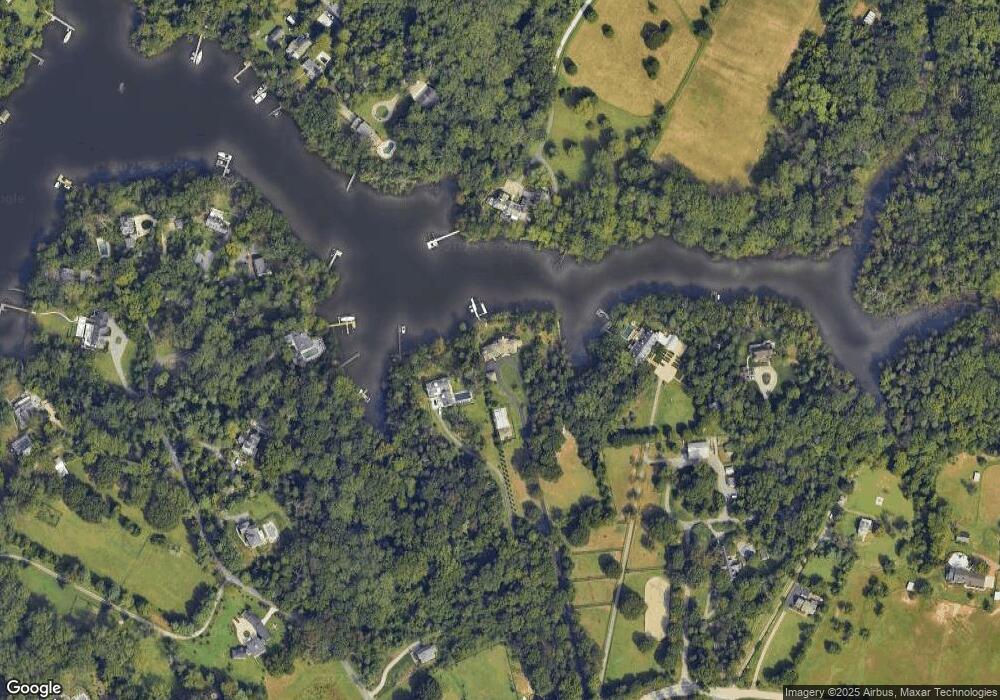
Map
Nearby Homes
- 706 Pilot House Dr
- 510 Annapolitan Ln
- 1608 Belle Dr
- 102 Vanguard Ln
- 706 Drake Way
- 21 Muir Woods Ct
- 1436 Regent St
- 8 Wellington Place
- 709 Skippers Ln
- 303 Pytchley Run
- 1240 Gemini Dr
- 103 Roselawn Rd
- 10 Ironstone Ct Unit D
- 40 Greystone Ct Unit I
- 10 Sandstone Ct
- 1233 Gemini Dr Unit C
- 10-B Sandstone Ct
- 48 Poplar Point Rd
- 300 Hilltop Ln Unit 300B
- 300 Hilltop Ln Unit 300I
- 488 Ferry Point Rd
- 2696 Mas Que Farm Rd
- 496 Ferry Point Rd
- 910 Arbutus Dr
- 906 Arbutus Dr
- 919 Crystal Spring Farm Rd
- 498 Ferry Point Rd
- 918 Arbutus Rd
- 918 Arbutus Rd
- 924 Arbutus Rd
- 932 Arbutus Dr
- 904 Arbutus Dr
- 500 Ferry Point Rd
- 915 Crystal Spring Farm Rd
- 913 Crystal Spring Farm Rd
- 934 Arbutus Rd
- 900 Arbutus Dr
- 934 Arbutus Dr
- 936 Arbutus Rd
- 936 Arbutus Dr
Your Personal Tour Guide
Ask me questions while you tour the home.