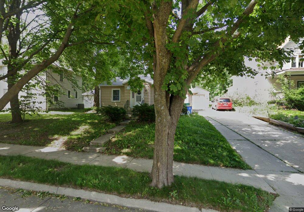
490 Glendale St Owatonna, MN 55060
Estimated Value: $103,000 - $173,000
2
Beds
1
Bath
926
Sq Ft
$160/Sq Ft
Est. Value
About This Home
This home is located at 490 Glendale St, Owatonna, MN 55060 and is currently estimated at $147,908, approximately $159 per square foot. 490 Glendale St is a home located in Steele County with nearby schools including Wilson Elementary School, Owatonna Middle School, and Owatonna Senior High School.
Ownership History
Date
Name
Owned For
Owner Type
Purchase Details
Closed on
Jan 13, 2017
Sold by
Nicolai Eva C
Bought by
Deppe Timiothy C and Deppe Elisabeth A
Current Estimated Value
Home Financials for this Owner
Home Financials are based on the most recent Mortgage that was taken out on this home.
Original Mortgage
$61,750
Outstanding Balance
$50,829
Interest Rate
4.08%
Mortgage Type
New Conventional
Estimated Equity
$97,079
Purchase Details
Closed on
Aug 30, 2005
Sold by
Nicolai George E and Vogt Donald W
Bought by
Nicolai Eva C
Create a Home Valuation Report for This Property
The Home Valuation Report is an in-depth analysis detailing your home's value as well as a comparison with similar homes in the area
Home Values in the Area
Average Home Value in this Area
Purchase History
| Date | Buyer | Sale Price | Title Company |
|---|---|---|---|
| Deppe Timiothy C | $65,000 | -- | |
| Nicolai Eva C | -- | None Available |
Source: Public Records
Mortgage History
| Date | Status | Borrower | Loan Amount |
|---|---|---|---|
| Open | Deppe Timiothy C | $61,750 |
Source: Public Records
Tax History
| Year | Tax Paid | Tax Assessment Tax Assessment Total Assessment is a certain percentage of the fair market value that is determined by local assessors to be the total taxable value of land and additions on the property. | Land | Improvement |
|---|---|---|---|---|
| 2025 | $1,914 | $130,300 | $26,200 | $104,100 |
| 2024 | $1,744 | $125,100 | $23,500 | $101,600 |
| 2023 | $1,708 | $112,800 | $19,300 | $93,500 |
| 2022 | $1,542 | $105,500 | $18,200 | $87,300 |
| 2021 | $1,482 | $84,476 | $16,268 | $68,208 |
| 2020 | $1,504 | $79,968 | $16,268 | $63,700 |
| 2019 | $1,456 | $77,420 | $16,268 | $61,152 |
| 2018 | $966 | $79,674 | $14,896 | $64,778 |
| 2017 | $886 | $77,812 | $14,112 | $63,700 |
| 2016 | $802 | $73,108 | $14,112 | $58,996 |
| 2015 | -- | $0 | $0 | $0 |
| 2014 | -- | $0 | $0 | $0 |
Source: Public Records
Map
Nearby Homes
- 413 Sylvan St
- 330 Riverside Ave
- 323 Mower Place
- 318 Thomas Ave
- 670 Lynwood St
- 330 S Oak Ave
- 506 S Oak Ave
- 522 S Oak Ave
- 0 W Highway 14
- 460 Selby Ave
- xxx Kilworth Dr NW
- 134 W University St
- 430 S Elm Ave
- 254 Plainview St
- 810 S Oak Ave
- 234 E School St
- 530 Cindy Ln
- 1314 N Cedar Ave
- 840 SW Riverwood Place
- 231 13th St NE
- 403 State Ave
- 484 Glendale St
- 337 State Ave
- 472 Glendale St
- 340 Highland Ave
- 50 Radel Place
- 338 Highland Ave
- 333 State Ave
- 336 Highland Ave
- 346 State Ave
- 406 State Ave
- 70 Radel Place
- 40 Radel Place
- 460 Glendale St
- 338 State Ave
- 334 Highland Ave
- 404 Adams Ave NW
- 329 State Ave
- 518 Glendale St
- 322 Highland Ave
Your Personal Tour Guide
Ask me questions while you tour the home.