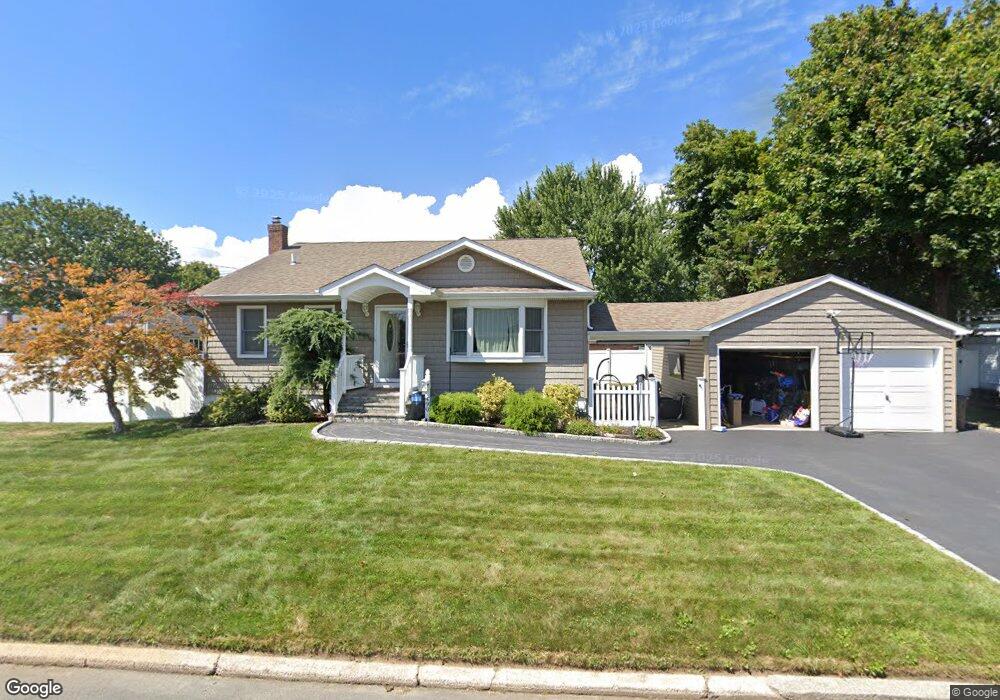
490 Heathcote Rd Lindenhurst, NY 11757
Estimated Value: $619,000 - $664,000
3
Beds
2
Baths
1,365
Sq Ft
$472/Sq Ft
Est. Value
About This Home
This home is located at 490 Heathcote Rd, Lindenhurst, NY 11757 and is currently estimated at $644,073, approximately $471 per square foot. 490 Heathcote Rd is a home located in Suffolk County with nearby schools including William Rall School, Lindenhurst Middle School, and Lindenhurst Senior High School.
Ownership History
Date
Name
Owned For
Owner Type
Purchase Details
Closed on
Apr 28, 2015
Sold by
Cicchetti Eric
Bought by
Memon Faheem H and Memon Jenna
Current Estimated Value
Home Financials for this Owner
Home Financials are based on the most recent Mortgage that was taken out on this home.
Original Mortgage
$340,100
Outstanding Balance
$262,096
Interest Rate
3.69%
Mortgage Type
New Conventional
Estimated Equity
$381,977
Purchase Details
Closed on
Apr 24, 2004
Sold by
Cicchetti Armand A and Cicchetti Catherine
Bought by
Cicchetti John P and Cicchetti Eric J
Create a Home Valuation Report for This Property
The Home Valuation Report is an in-depth analysis detailing your home's value as well as a comparison with similar homes in the area
Home Values in the Area
Average Home Value in this Area
Purchase History
| Date | Buyer | Sale Price | Title Company |
|---|---|---|---|
| Memon Faheem H | $358,000 | None Available | |
| Cicchetti John P | -- | Fidelity National Title Insu |
Source: Public Records
Mortgage History
| Date | Status | Borrower | Loan Amount |
|---|---|---|---|
| Open | Memon Faheem H | $340,100 |
Source: Public Records
Tax History Compared to Growth
Tax History
| Year | Tax Paid | Tax Assessment Tax Assessment Total Assessment is a certain percentage of the fair market value that is determined by local assessors to be the total taxable value of land and additions on the property. | Land | Improvement |
|---|---|---|---|---|
| 2024 | $13,002 | $3,470 | $300 | $3,170 |
| 2023 | $13,002 | $3,470 | $300 | $3,170 |
| 2022 | $9,670 | $3,470 | $300 | $3,170 |
| 2021 | $9,670 | $3,470 | $300 | $3,170 |
| 2020 | $11,893 | $3,470 | $300 | $3,170 |
| 2019 | $11,893 | $0 | $0 | $0 |
| 2018 | $11,472 | $3,470 | $300 | $3,170 |
| 2017 | $11,472 | $3,470 | $300 | $3,170 |
| 2016 | $11,481 | $3,470 | $300 | $3,170 |
| 2015 | -- | $3,470 | $300 | $3,170 |
| 2014 | -- | $3,040 | $300 | $2,740 |
Source: Public Records
Map
Nearby Homes
- 456 Heathcote Rd
- 16 Burton Place
- 1037 N Niagara Ave
- 1029 N Niagara Ave
- 45 Feustal St
- 61 Kellum St Unit A and B
- 61 Kellum St Unit 61A
- 0 Tenety Ave Unit 3461459
- 165 Tremont Rd
- 126 Farmers Ave
- 83 Justice St
- 957 N Fulton Ave
- 280 Sherbrooke Rd
- 900 4th St
- 940 N Erie Ave
- 59 Farber Dr Unit 59
- 86 Farber Dr Unit 86
- 106 Farber Dr
- 166 & 170 Woodrow Pkwy
- 583 Straight Path
- 30 Washington Dr
- 495 Heathcote Rd
- 488 Heathcote Rd
- 290 Tremont Rd
- 35 Washington Dr
- 294 Tremont Rd
- 496 Heathcote Rd
- 25 Washington Dr
- 300 Tremont Rd
- 500 Heathcote Rd
- 45 Washington Dr
- 469 Heathcote Rd
- 502 Heathcote Rd
- 268 Tremont Rd
- 304 Tremont Rd
- 231 Farmers Ave
- 279 Tremont Rd
- 505 Heathcote Rd
- 468 Heathcote Rd
- 225 Farmers Ave