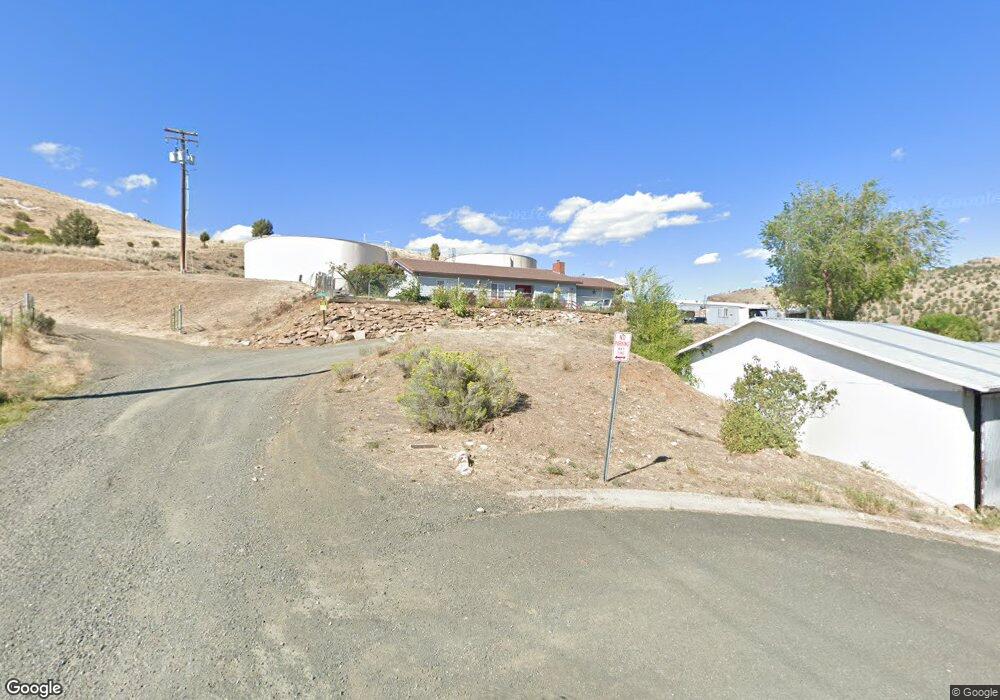
490 Juniper Dr Mount Vernon, OR 97865
Estimated Value: $198,000 - $338,000
--
Bed
--
Bath
1,427
Sq Ft
$197/Sq Ft
Est. Value
About This Home
This home is located at 490 Juniper Dr, Mount Vernon, OR 97865 and is currently estimated at $281,754, approximately $197 per square foot. 490 Juniper Dr is a home with nearby schools including Grant Union Junior/Senior High School.
Ownership History
Date
Name
Owned For
Owner Type
Purchase Details
Closed on
Dec 21, 2023
Sold by
Cates Roy
Bought by
Cates Wendy T
Current Estimated Value
Home Financials for this Owner
Home Financials are based on the most recent Mortgage that was taken out on this home.
Original Mortgage
$80,000
Outstanding Balance
$46,306
Interest Rate
7.5%
Mortgage Type
Seller Take Back
Estimated Equity
$235,448
Create a Home Valuation Report for This Property
The Home Valuation Report is an in-depth analysis detailing your home's value as well as a comparison with similar homes in the area
Home Values in the Area
Average Home Value in this Area
Purchase History
| Date | Buyer | Sale Price | Title Company |
|---|---|---|---|
| Cates Wendy T | $100,000 | None Listed On Document |
Source: Public Records
Mortgage History
| Date | Status | Borrower | Loan Amount |
|---|---|---|---|
| Open | Cates Wendy T | $80,000 |
Source: Public Records
Tax History Compared to Growth
Tax History
| Year | Tax Paid | Tax Assessment Tax Assessment Total Assessment is a certain percentage of the fair market value that is determined by local assessors to be the total taxable value of land and additions on the property. | Land | Improvement |
|---|---|---|---|---|
| 2024 | $2,803 | $192,140 | $35,241 | $156,899 |
| 2023 | $2,715 | $186,544 | $34,220 | $152,324 |
| 2022 | $2,639 | $181,111 | $33,222 | $147,889 |
| 2021 | $2,568 | $175,836 | $32,253 | $143,583 |
| 2020 | $2,692 | $170,715 | $31,314 | $139,401 |
| 2019 | $2,592 | $165,743 | $22,574 | $143,169 |
| 2018 | $2,840 | $159,870 | $29,320 | $130,550 |
| 2017 | $2,512 | $160,916 | $21,919 | $138,997 |
| 2016 | $2,434 | $156,230 | $21,280 | $134,950 |
| 2015 | $2,498 | $153,645 | $20,930 | $132,715 |
| 2014 | $2,498 | $153,645 | $20,930 | $132,715 |
| 2013 | $2,328 | $149,170 | $20,320 | $128,850 |
Source: Public Records
Map
Nearby Homes
- 410 N Mountain Blvd
- 440 N Mountain Blvd
- 210 Mountain Blvd
- 54797 U S Highway 26
- 251 SE Council Dr
- 809 Ingle St
- 55550 McKern Ln
- 54797 U S 26
- 59720 Highway 26
- 0 Hwy 395 Unit 220203788
- 0 Hwy 395 Unit 603386933
- 58392 Antelope Ln
- 59920 Highway 26
- 59920 Hwy 26
- 31367 Clarks Creek Rd
- 27637 La Costa Rd
- 27637 La Costa Ave
- 59591 High Ridge Ln
- 0 E Side Ln Unit 201102803
- 0 County Rd 74b Unit 11554207
- 470 Highlan Dr
- 420 Highlan Dr
- 485 Highland Terrace
- 394 Highlan Terrace
- 463 N Mountain Blvd
- 392 Highlan Terrace
- 450 Thompson Ave
- 385 Highlan Dr
- 395 Thompson Ave
- 380 Thompson Ave
- 420 Aslin Ave
- 430 N Mountain Blvd
- 385 Thompson Ave
- 360 Highlan Terrace
- 400 Aslin Ave
- 410 Mt Blvd
- 380 N Mountain Blvd
- 0 U S 395
- 320 Holland Dr
- 350 N Mountain Blvd