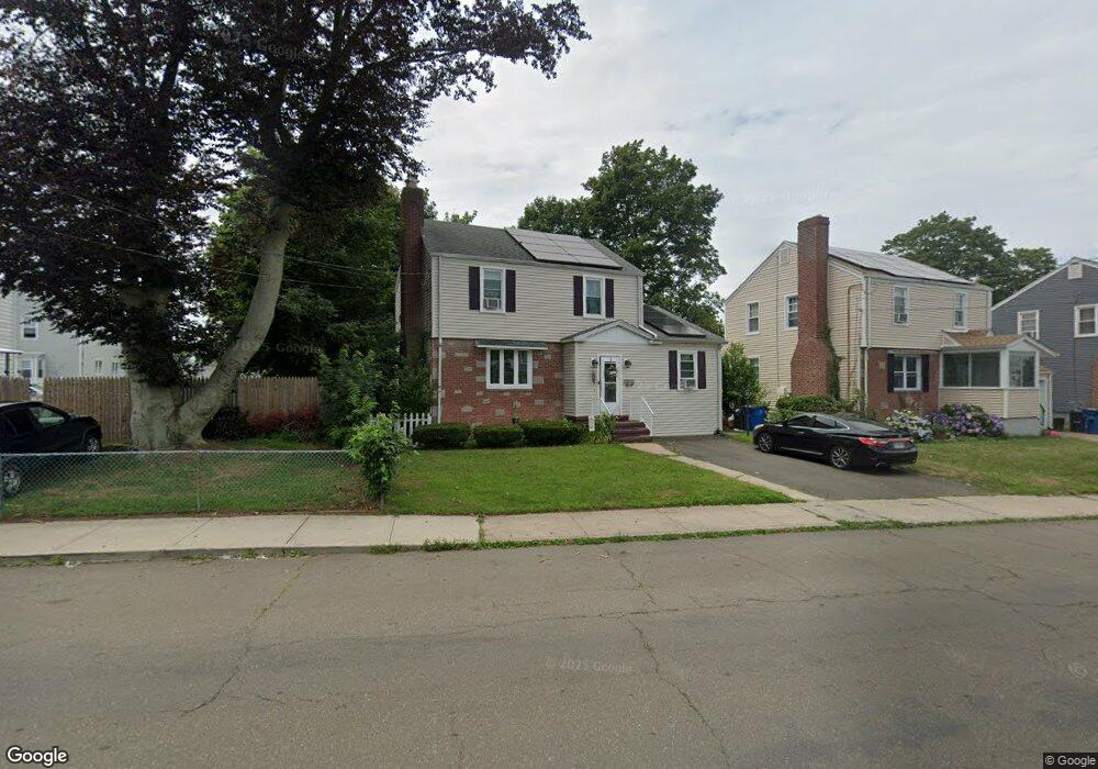
490 Lighthouse Rd New Haven, CT 06512
East Shore NeighborhoodEstimated Value: $272,000 - $371,000
4
Beds
3
Baths
1,496
Sq Ft
$221/Sq Ft
Est. Value
About This Home
This home is located at 490 Lighthouse Rd, New Haven, CT 06512 and is currently estimated at $330,513, approximately $220 per square foot. 490 Lighthouse Rd is a home located in New Haven County with nearby schools including Nathan Hale School, Cold Spring School, and All Saints Catholic Academy.
Ownership History
Date
Name
Owned For
Owner Type
Purchase Details
Closed on
Oct 27, 2020
Sold by
Santiago Marie
Bought by
Diaz Kelly A
Current Estimated Value
Home Financials for this Owner
Home Financials are based on the most recent Mortgage that was taken out on this home.
Original Mortgage
$137,464
Outstanding Balance
$122,323
Interest Rate
2.8%
Mortgage Type
Farmers Home Administration
Estimated Equity
$208,190
Purchase Details
Closed on
Jan 13, 1997
Sold by
Morro Charles and Streeto Elizabeth
Bought by
Santiago Marie A
Home Financials for this Owner
Home Financials are based on the most recent Mortgage that was taken out on this home.
Original Mortgage
$72,900
Interest Rate
7.46%
Mortgage Type
Unknown
Create a Home Valuation Report for This Property
The Home Valuation Report is an in-depth analysis detailing your home's value as well as a comparison with similar homes in the area
Home Values in the Area
Average Home Value in this Area
Purchase History
| Date | Buyer | Sale Price | Title Company |
|---|---|---|---|
| Diaz Kelly A | $140,000 | None Available | |
| Santiago Marie A | $77,900 | -- |
Source: Public Records
Mortgage History
| Date | Status | Borrower | Loan Amount |
|---|---|---|---|
| Open | Diaz Kelly A | $137,464 | |
| Previous Owner | Santiago Marie A | $135,000 | |
| Previous Owner | Santiago Marie A | $30,300 | |
| Previous Owner | Santiago Marie A | $72,900 |
Source: Public Records
Tax History
| Year | Tax Paid | Tax Assessment Tax Assessment Total Assessment is a certain percentage of the fair market value that is determined by local assessors to be the total taxable value of land and additions on the property. | Land | Improvement |
|---|---|---|---|---|
| 2025 | $6,509 | $165,200 | $62,230 | $102,970 |
| 2024 | $6,360 | $165,200 | $62,230 | $102,970 |
| 2023 | $6,145 | $165,200 | $62,230 | $102,970 |
| 2022 | $6,567 | $165,200 | $62,230 | $102,970 |
| 2021 | $5,338 | $121,660 | $40,460 | $81,200 |
| 2020 | $5,338 | $121,660 | $40,460 | $81,200 |
| 2019 | $5,229 | $121,660 | $40,460 | $81,200 |
| 2018 | $5,229 | $121,660 | $40,460 | $81,200 |
| 2017 | $4,706 | $121,660 | $40,460 | $81,200 |
| 2016 | $4,942 | $118,930 | $39,550 | $79,380 |
| 2015 | $4,942 | $118,930 | $39,550 | $79,380 |
| 2014 | $4,942 | $118,930 | $39,550 | $79,380 |
Source: Public Records
Map
Nearby Homes
- 506 Lighthouse Rd
- 75 Townsend Ave
- 119 Cove St
- 114 Cove St
- 86 Cove St
- 19 Rhea St
- 44 Meadow View Rd
- 48 Morris Ave
- 15 Arden St
- 26 Nelson St
- 257 Concord St
- 3 Stoddard Rd
- 327 Concord St
- 388 Concord St
- 166 Beach Ave
- 63 Coleman St Unit 12
- 560 Silver Sands Rd Unit 703
- 560 Silver Sands Rd Unit 1001
- 56 Victor St
- 24 Woodward Ave Unit 46
- 496 Lighthouse Rd
- 482 Lighthouse Rd
- 43 Morris Cove Rd
- 502 Lighthouse Rd
- 47 Morris Cove Rd
- 35 Morris Cove Rd
- 53 Morris Cove Rd
- 491 Lighthouse Rd
- 57 Morris Cove Rd
- 479 Lighthouse Rd
- 499 Lighthouse Rd
- 22 Townsend Ave
- 471 Lighthouse Rd
- 20 Townsend Ave
- 18 Townsend Ave
- 67 Morris Cove Rd
- 461 Lighthouse Rd
- 16 Townsend Ave
- 14 Townsend Ave
- 56 Morris Cove Rd
Your Personal Tour Guide
Ask me questions while you tour the home.