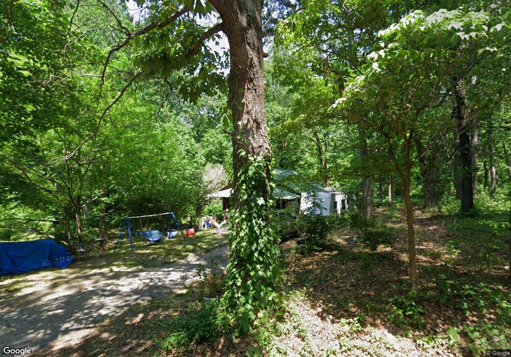
490 Mulkey Rd Toccoa, GA 30577
Estimated Value: $84,000 - $158,000
3
Beds
2
Baths
812
Sq Ft
$160/Sq Ft
Est. Value
About This Home
This home is located at 490 Mulkey Rd, Toccoa, GA 30577 and is currently estimated at $130,258, approximately $160 per square foot. 490 Mulkey Rd is a home located in Stephens County with nearby schools including Stephens County High School.
Ownership History
Date
Name
Owned For
Owner Type
Purchase Details
Closed on
Jun 5, 2009
Sold by
First Citizens Bank
Bought by
Francisco Shirley D
Current Estimated Value
Home Financials for this Owner
Home Financials are based on the most recent Mortgage that was taken out on this home.
Original Mortgage
$29,701
Outstanding Balance
$18,441
Interest Rate
4.77%
Mortgage Type
FHA
Estimated Equity
$111,817
Purchase Details
Closed on
Dec 2, 2008
Sold by
Not Provided
Bought by
Francisco Shirley D
Purchase Details
Closed on
Dec 19, 2002
Bought by
<Buyer Info Not Present>
Purchase Details
Closed on
Dec 1, 1995
Bought by
<Buyer Info Not Present>
Purchase Details
Closed on
Jul 1, 1992
Bought by
<Buyer Info Not Present>
Create a Home Valuation Report for This Property
The Home Valuation Report is an in-depth analysis detailing your home's value as well as a comparison with similar homes in the area
Purchase History
| Date | Buyer | Sale Price | Title Company |
|---|---|---|---|
| Francisco Shirley D | $30,250 | -- | |
| Francisco Shirley D | -- | -- | |
| First Citizens Bank & Trust | -- | -- | |
| <Buyer Info Not Present> | -- | -- | |
| <Buyer Info Not Present> | $24,800 | -- | |
| <Buyer Info Not Present> | $30,000 | -- |
Source: Public Records
Mortgage History
| Date | Status | Borrower | Loan Amount |
|---|---|---|---|
| Open | Francisco Shirley D | $29,701 |
Source: Public Records
Tax History
| Year | Tax Paid | Tax Assessment Tax Assessment Total Assessment is a certain percentage of the fair market value that is determined by local assessors to be the total taxable value of land and additions on the property. | Land | Improvement |
|---|---|---|---|---|
| 2025 | $531 | $24,058 | $1,411 | $22,647 |
| 2024 | $524 | $16,398 | $1,411 | $14,987 |
| 2023 | $482 | $15,311 | $1,411 | $13,900 |
| 2022 | $254 | $10,535 | $1,411 | $9,124 |
| 2021 | $246 | $9,867 | $1,411 | $8,456 |
| 2020 | $246 | $9,781 | $1,411 | $8,370 |
| 2019 | $248 | $9,832 | $1,512 | $8,320 |
| 2018 | $248 | $9,832 | $1,512 | $8,320 |
| 2017 | $252 | $9,839 | $1,512 | $8,327 |
| 2016 | $249 | $9,839 | $1,512 | $8,327 |
| 2015 | $194 | $7,832 | $1,512 | $6,320 |
| 2014 | $197 | $7,832 | $1,512 | $6,320 |
| 2013 | -- | $7,832 | $1,512 | $6,320 |
Source: Public Records
Map
Nearby Homes
- 345 Prather Bridge Rd
- 811 Prather Bridge Rd
- 326 Remsdale Rd
- 596 Watson St
- 31 Craig St
- 202 Henderson Falls Rd
- 73 Ridgeview Heights
- 1009 Prather Bridge Rd
- 84 Oak Creek Cir
- 50 Green Hill Place
- 35 Green Hill Place
- 998 Rosedale St
- 1168 Rosedale St
- 83 Irene St
- 43 Pauline St
- 239 E Doyle St
- 117 Glencrest Dr
- 109 Schaefer Ct
- 43 Mountain View Dr
- 84 Park St
- 491 Mulkey Rd
- 521 Mulkey Rd
- 435 Mulkey Rd
- 411 Mulkey Rd
- 458 Mulkey Rd
- 395 Mulkey Rd
- 0 Overbrook Dr Unit 7572474
- 0 Overbrook Dr Unit 7572678
- 0 Overbrook Dr Unit 8938911
- 0 Overbrook Dr Unit 8705458
- 0 Overbrook Dr Unit 8481032
- 394 Mulkey Rd
- 930 N Pond St
- 355 Mulkey Rd
- 0 Mulkey Rd Unit 3,4,5,6,7,8 8433926
- 624 Mulkey Rd
- 364 Mulkey Rd
- 335 Mulkey Rd
- 832 N Pond St
- 320 Mulkey Rd