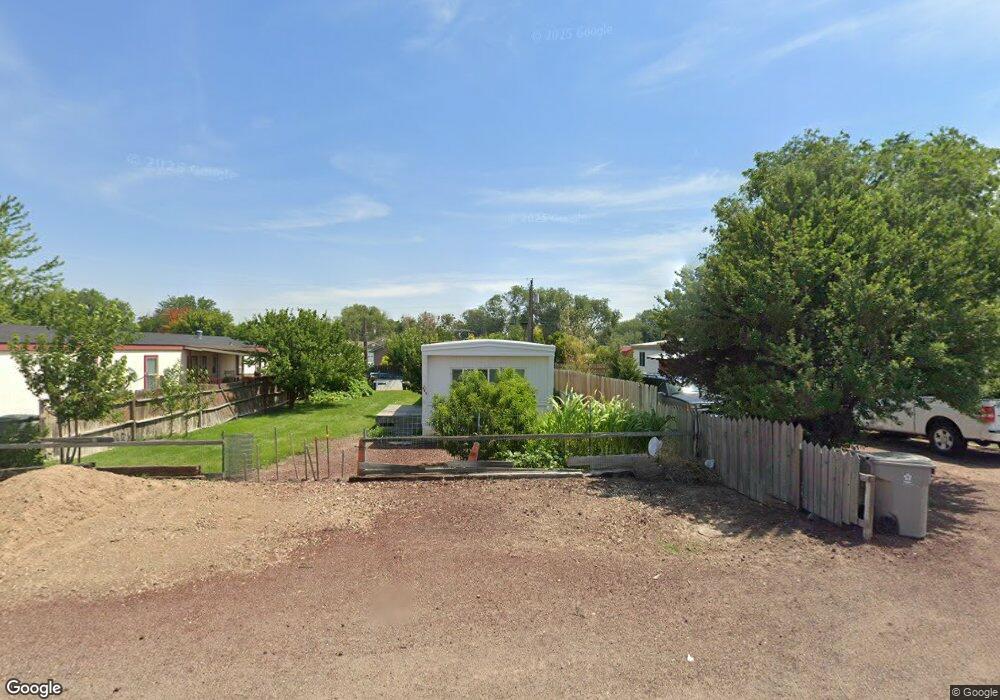
490 NW Elmcrest Ave Mountain Home, ID 83647
Estimated Value: $71,042 - $417,000
--
Bed
--
Bath
--
Sq Ft
5,706
Sq Ft Lot
About This Home
This home is located at 490 NW Elmcrest Ave, Mountain Home, ID 83647 and is currently estimated at $300,511. 490 NW Elmcrest Ave is a home with nearby schools including West Elementary School, Hacker Middle School, and Mountain Home Junior High School.
Ownership History
Date
Name
Owned For
Owner Type
Purchase Details
Closed on
May 3, 2007
Sold by
Wilson Daniel
Bought by
Guadarrama Eloy and Ellifritt Edith
Current Estimated Value
Home Financials for this Owner
Home Financials are based on the most recent Mortgage that was taken out on this home.
Original Mortgage
$8,000
Interest Rate
6.14%
Mortgage Type
Seller Take Back
Purchase Details
Closed on
Jul 27, 2005
Sold by
Mendez Vicenta R
Bought by
Wilson Daniel
Purchase Details
Closed on
Mar 1, 2005
Sold by
Ortiz Lorenz Mendez
Bought by
Mendez Vicenta
Create a Home Valuation Report for This Property
The Home Valuation Report is an in-depth analysis detailing your home's value as well as a comparison with similar homes in the area
Home Values in the Area
Average Home Value in this Area
Purchase History
| Date | Buyer | Sale Price | Title Company |
|---|---|---|---|
| Guadarrama Eloy | -- | -- | |
| Wilson Daniel | -- | -- | |
| Mendez Vicenta | -- | -- |
Source: Public Records
Mortgage History
| Date | Status | Borrower | Loan Amount |
|---|---|---|---|
| Closed | Guadarrama Eloy | $8,000 |
Source: Public Records
Tax History Compared to Growth
Tax History
| Year | Tax Paid | Tax Assessment Tax Assessment Total Assessment is a certain percentage of the fair market value that is determined by local assessors to be the total taxable value of land and additions on the property. | Land | Improvement |
|---|---|---|---|---|
| 2024 | $162 | $37,929 | $36,900 | $1,029 |
| 2023 | $162 | $29,909 | $28,800 | $1,109 |
| 2022 | $142 | $26,717 | $25,650 | $1,067 |
| 2021 | $152 | $22,190 | $21,420 | $770 |
| 2020 | $145 | $18,443 | $17,820 | $623 |
| 2019 | $178 | $18,358 | $17,820 | $538 |
| 2018 | $164 | $15,310 | $14,844 | $466 |
| 2017 | $173 | $15,281 | $14,844 | $437 |
| 2016 | $176 | $15,281 | $14,844 | $437 |
| 2015 | -- | $0 | $0 | $0 |
| 2012 | -- | $17,703 | $17,464 | $239 |
Source: Public Records
Map
Nearby Homes
- 1879 N West Enterprise St
- 722 NW Date Ave
- 1120 NW Foster Dr
- 1224 NW Mandarin St
- 420 NW Heron Ave
- 995 NW Maggie Ct
- 508 W 2nd N
- 422 W 3rd N
- 420 Oak Ct
- 410 Chestnut St
- 850 Garrett St
- 1075 Teal Cir
- 165 Sagebrush Ave
- 960 Sunset Strip
- 80 A St
- 885 Partridge Dr
- 910 Gregory Ln
- 127 E 8th N
- 1265 Eric Ct
- 405 N 2nd E
- 510 NW Elmcrest Ave
- 461 NW Date Ave
- 505 NW Date Ave
- 493 NW Date Ave
- 427 NW Date Ave
- 445 NW Date Ave
- 620 NW Date Ave
- 518 NW Elmcrest Ave
- 1790 Peregrine Dr
- 1780 Peregrine Dr
- 548 NW Elmcrest Ave
- 1770 Peregrine Dr
- 442 NW Date Ave
- 512 NW Date Ave
- 412 NW Date Ave
- 1760 Peregrine Dr
- 546 NW Date Ave
- 1960 Peregrine Dr
- 528 NW Date Ave
- 1595 NW Holly St