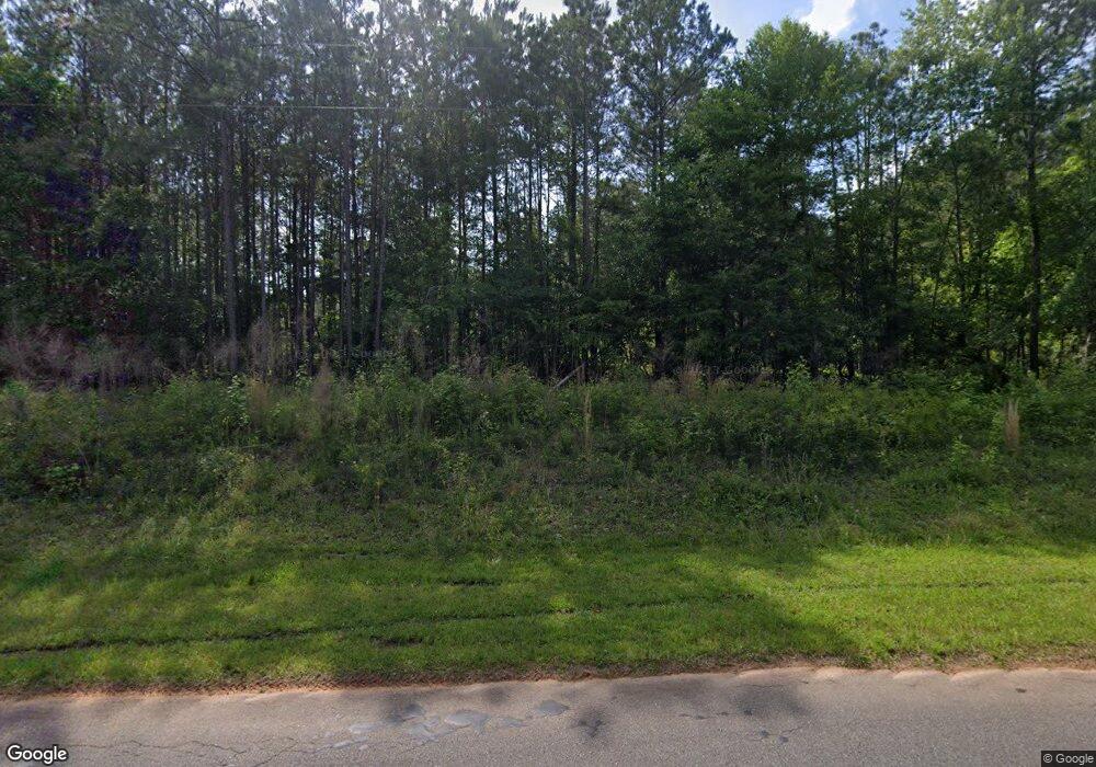
490 Parker Rd Dry Branch, GA 31020
Estimated Value: $60,331 - $96,000
Studio
--
Bath
--
Sq Ft
361,112
Sq Ft
About This Home
This home is located at 490 Parker Rd, Dry Branch, GA 31020 and is currently estimated at $79,444. 490 Parker Rd is a home with nearby schools including Jeffersonville Elementary School, Twiggs Middle School, and Twiggs County High School.
Ownership History
Date
Name
Owned For
Owner Type
Purchase Details
Closed on
Mar 24, 2022
Sold by
Carruolo Raymond
Bought by
Mcdaniel Brian and Mcdaniel Kelly
Current Estimated Value
Purchase Details
Closed on
Oct 17, 2016
Sold by
Backroads Trading Co Llc
Bought by
Carruolo Raymond and Carruolo Kimberly
Home Financials for this Owner
Home Financials are based on the most recent Mortgage that was taken out on this home.
Original Mortgage
$50,850
Interest Rate
3.5%
Mortgage Type
New Conventional
Purchase Details
Closed on
Aug 26, 2016
Sold by
Eugene Robert
Bought by
Lakey Tim
Home Financials for this Owner
Home Financials are based on the most recent Mortgage that was taken out on this home.
Original Mortgage
$50,850
Interest Rate
3.5%
Mortgage Type
New Conventional
Purchase Details
Closed on
Aug 17, 2016
Sold by
Tim
Bought by
Backroads Trading Co Llc
Purchase Details
Closed on
Sep 1, 2015
Sold by
Lakey Tim
Bought by
Sanders Robert Eugene
Purchase Details
Closed on
Jul 31, 2007
Sold by
Lbj Holdings Llc
Bought by
Lakey Tim
Create a Home Valuation Report for This Property
The Home Valuation Report is an in-depth analysis detailing your home's value as well as a comparison with similar homes in the area
Purchase History
| Date | Buyer | Sale Price | Title Company |
|---|---|---|---|
| Mcdaniel Brian | $52,700 | -- | |
| Carruolo Raymond | $56,500 | -- | |
| Lakey Tim | -- | -- | |
| Backroads Trading Co Llc | $6,075 | -- | |
| Sanders Robert Eugene | $2,195 | -- | |
| Lakey Tim | $39,000 | -- |
Source: Public Records
Mortgage History
| Date | Status | Borrower | Loan Amount |
|---|---|---|---|
| Previous Owner | Carruolo Raymond | $50,850 |
Source: Public Records
Tax History
| Year | Tax Paid | Tax Assessment Tax Assessment Total Assessment is a certain percentage of the fair market value that is determined by local assessors to be the total taxable value of land and additions on the property. | Land | Improvement |
|---|---|---|---|---|
| 2025 | $639 | $17,123 | $14,416 | $2,707 |
| 2024 | $613 | $17,123 | $14,416 | $2,707 |
| 2023 | $614 | $17,123 | $14,416 | $2,707 |
| 2022 | $620 | $17,123 | $14,416 | $2,707 |
| 2021 | $620 | $17,123 | $14,416 | $2,707 |
| 2020 | $620 | $17,123 | $14,416 | $2,707 |
| 2019 | $620 | $17,123 | $14,416 | $2,707 |
| 2018 | $568 | $17,123 | $14,416 | $2,707 |
| 2017 | $479 | $14,416 | $14,416 | $0 |
| 2016 | $0 | $0 | $0 | $0 |
| 2015 | -- | $14,416 | $14,416 | $0 |
| 2014 | -- | $14,416 | $14,416 | $0 |
| 2013 | -- | $14,416 | $14,416 | $0 |
Source: Public Records
Map
Nearby Homes
- 000 Parker Rd
- 0 Parker Rd Unit 10461595
- 0 Knollwood Rd Unit LotWP004
- 0 Knollwood Rd Unit 10495049
- 32 Knollwood Rd
- 0 Hwy 80
- 6330 Riggins Mill Rd
- 6326 Riggins Mill Rd
- Hwy 129
- 1100 Sapp Rd
- 5503 Jeffersonville Rd
- 3688 Myers St
- 4912 Old Gordon Rd
- 0 Us Highway 80 Unit LOT 1 10495040
- 3741 Franklinton Rd
- 3608 Franklinton Rd
- 58 Strawberry Rd
- 253 Apple Valley Rd
- 167 Apple Valley Rd
- 4861 Jeffersonville Rd
- 1908 Riggins Mill Rd
- 681 Parker Rd
- 860 Parker Rd
- 1913 Riggins Mill Rd
- 1999 Riggins Mill Rd
- 0 Parker Rd Unit 151226
- 0 Parker Rd Unit M163715
- 0 Parker Rd Unit 8651273
- 1811 Riggins Mill Rd
- 855 Parker Rd
- 1785 Riggins Mill Rd
- 2611 Riggins Mill Rd
- 1609 Riggins Mill Rd
- 1769 Riggins Mill Rd
- 2124 Riggins Mill Rd
- 2001 Riggins Mill Rd
- 1442 Riggins Mill Rd
- 1605 Riggins Mill Rd
- 1520 Riggins Mill Rd
- 2005 Riggins Mill Rd
Your Personal Tour Guide
Ask me questions while you tour the home.