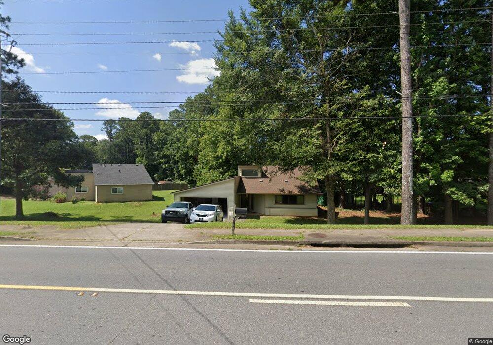
490 Powers Ferry Rd SE Marietta, GA 30067
Powers Park NeighborhoodEstimated Value: $352,389 - $406,000
3
Beds
2
Baths
1,547
Sq Ft
$241/Sq Ft
Est. Value
About This Home
This home is located at 490 Powers Ferry Rd SE, Marietta, GA 30067 and is currently estimated at $372,597, approximately $240 per square foot. 490 Powers Ferry Rd SE is a home located in Cobb County with nearby schools including Powers Ferry Elementary School, East Cobb Middle School, and Wheeler High School.
Ownership History
Date
Name
Owned For
Owner Type
Purchase Details
Closed on
Jun 17, 2003
Sold by
Weise David J
Bought by
Orahood Richard K
Current Estimated Value
Home Financials for this Owner
Home Financials are based on the most recent Mortgage that was taken out on this home.
Original Mortgage
$120,600
Outstanding Balance
$51,485
Interest Rate
5.43%
Mortgage Type
New Conventional
Estimated Equity
$321,112
Create a Home Valuation Report for This Property
The Home Valuation Report is an in-depth analysis detailing your home's value as well as a comparison with similar homes in the area
Home Values in the Area
Average Home Value in this Area
Purchase History
| Date | Buyer | Sale Price | Title Company |
|---|---|---|---|
| Orahood Richard K | $134,000 | -- |
Source: Public Records
Mortgage History
| Date | Status | Borrower | Loan Amount |
|---|---|---|---|
| Open | Orahood Richard K | $120,600 |
Source: Public Records
Tax History Compared to Growth
Tax History
| Year | Tax Paid | Tax Assessment Tax Assessment Total Assessment is a certain percentage of the fair market value that is determined by local assessors to be the total taxable value of land and additions on the property. | Land | Improvement |
|---|---|---|---|---|
| 2024 | $2,973 | $98,612 | $16,800 | $81,812 |
| 2023 | $2,973 | $98,612 | $16,800 | $81,812 |
| 2022 | $2,993 | $98,612 | $16,800 | $81,812 |
| 2021 | $2,185 | $72,000 | $13,600 | $58,400 |
| 2020 | $2,185 | $72,000 | $13,600 | $58,400 |
| 2019 | $2,273 | $74,880 | $13,600 | $61,280 |
| 2018 | $2,098 | $69,136 | $12,000 | $57,136 |
| 2017 | $1,722 | $59,912 | $14,000 | $45,912 |
| 2016 | $1,722 | $59,912 | $14,000 | $45,912 |
| 2015 | $1,823 | $61,888 | $24,320 | $37,568 |
| 2014 | $1,839 | $61,888 | $0 | $0 |
Source: Public Records
Map
Nearby Homes
- 470 Oriole Dr SE
- 2059 Clearwater Dr SE
- 402 Terrydale Dr SE
- 3155 Woodberry Ln SE
- 1051 Oriole Ln SE
- 456 Sybil Ln SE
- 349 Virginia Place SE
- 595 Harcourt Place SE
- 2339 Engineers Dr SE
- 2164 Pawnee Dr SE Unit 1
- 2330 Trellis Ln SE
- 706 Twin Brooks Ct SE
- 830 Bonnie Glen Dr SE
- 1785 Crestridge Dr SE
- 1722 Crestridge Dr SE
- 2490 Freydale Rd SE
- 1821 Clearwater Dr SE
- 190 Kenley Ct
- 1664 Crestridge Dr SE
- 556 Mayjo Ct SE
- 562 Mayjo Ct SE
- 811 Oriole Ln SE
- 821 Oriole Ln SE
- 831 Oriole Ln SE
- 0 Mayjo Ct SE
- 841 Oriole Ln SE
- 495 Powers Ferry Rd SE
- 495 Powers Ferry Rd SE
- 568 Mayjo Ct SE
- 801 Oriole Ln SE
- 851 Oriole Ln SE
- 574 Mayjo Ct SE
- 810 Oriole Ln SE
- 830 Oriole Ln SE
- 820 Oriole Ln SE
- 861 Oriole Ln SE
- 0 Mayes Dr SE Unit 8201143
- 461 Powers Ferry Rd SE
- 800 Oriole Ln SE