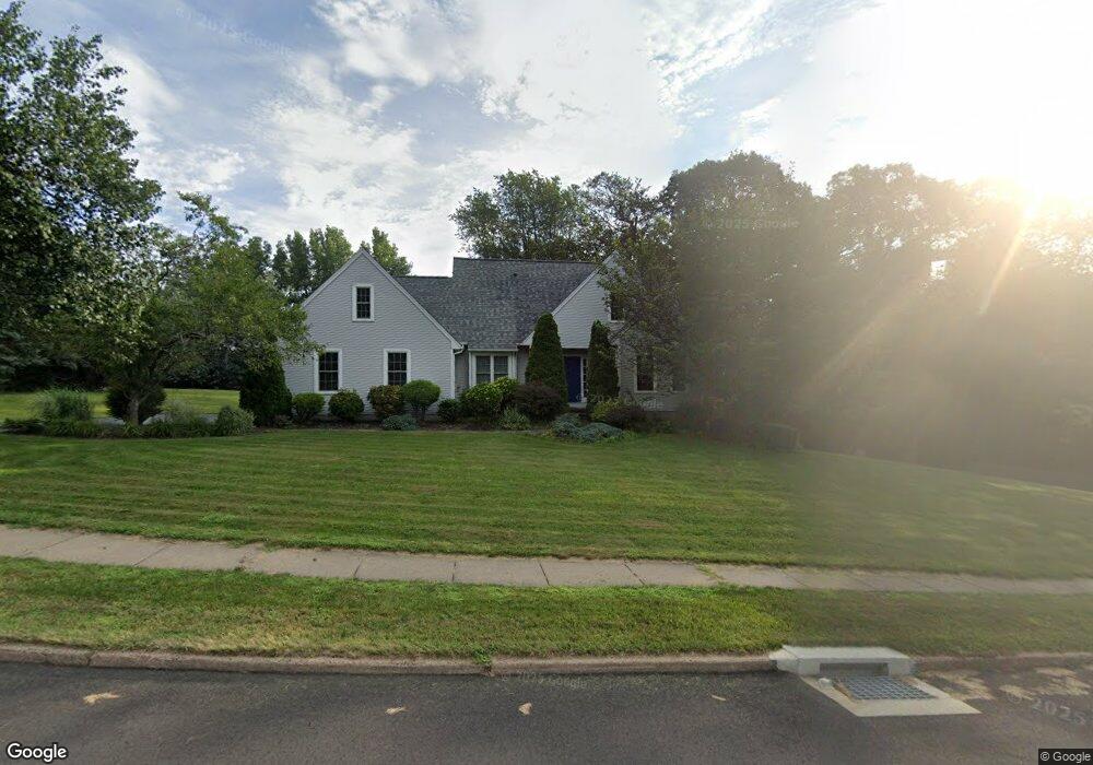
490 Sandstone Cir Cheshire, CT 06410
Estimated Value: $687,000 - $701,000
3
Beds
3
Baths
2,277
Sq Ft
$304/Sq Ft
Est. Value
About This Home
This home is located at 490 Sandstone Cir, Cheshire, CT 06410 and is currently estimated at $692,063, approximately $303 per square foot. 490 Sandstone Cir is a home located in New Haven County with nearby schools including Darcey School, Chapman School, and Dodd Middle School.
Ownership History
Date
Name
Owned For
Owner Type
Purchase Details
Closed on
Dec 12, 2003
Sold by
Splain Steven A and Splain Lisa G
Bought by
Xiao Lei and Tian Yuhong
Current Estimated Value
Purchase Details
Closed on
Nov 3, 1993
Sold by
Desanti Design & Const
Bought by
Splain Steven A and Splain Lisa G
Create a Home Valuation Report for This Property
The Home Valuation Report is an in-depth analysis detailing your home's value as well as a comparison with similar homes in the area
Home Values in the Area
Average Home Value in this Area
Purchase History
| Date | Buyer | Sale Price | Title Company |
|---|---|---|---|
| Xiao Lei | $392,000 | -- | |
| Xiao Lei | $392,000 | -- | |
| Splain Steven A | $250,000 | -- |
Source: Public Records
Mortgage History
| Date | Status | Borrower | Loan Amount |
|---|---|---|---|
| Open | Splain Steven A | $280,000 | |
| Closed | Splain Steven A | $292,500 | |
| Closed | Splain Steven A | $294,000 |
Source: Public Records
Tax History Compared to Growth
Tax History
| Year | Tax Paid | Tax Assessment Tax Assessment Total Assessment is a certain percentage of the fair market value that is determined by local assessors to be the total taxable value of land and additions on the property. | Land | Improvement |
|---|---|---|---|---|
| 2025 | $10,932 | $367,570 | $95,200 | $272,370 |
| 2024 | $10,093 | $367,570 | $95,200 | $272,370 |
| 2023 | $9,990 | $284,690 | $95,200 | $189,490 |
| 2022 | $9,771 | $284,690 | $95,200 | $189,490 |
| 2021 | $9,600 | $284,690 | $95,200 | $189,490 |
| 2020 | $9,457 | $284,690 | $95,200 | $189,490 |
| 2019 | $9,457 | $284,690 | $95,200 | $189,490 |
| 2018 | $9,431 | $289,110 | $100,450 | $188,660 |
| 2017 | $9,234 | $289,110 | $100,450 | $188,660 |
| 2016 | $8,873 | $289,110 | $100,450 | $188,660 |
| 2015 | $8,873 | $289,110 | $100,450 | $188,660 |
| 2014 | $8,746 | $289,110 | $100,450 | $188,660 |
Source: Public Records
Map
Nearby Homes
- 241 Beacon Hill Dr
- 1278 Cheshire St
- 40 Sterling Ridge Ct
- 1016 Split Rock Rd
- 11 Riverside Dr
- 2 Tunxis Place
- 35 Shelley Rd
- 155 Riverside Dr
- 120 Scenic Ct
- 93 Keats Rd
- 749 S Meriden Rd
- 345 Pratt St
- 194 Debbie Dr
- 204 Greens Loop Unit 204
- 689 S Meriden Rd
- 0 S Meriden Rd Unit 3
- 274 Riverside Dr
- 294 Greenwood Dr
- 174 Westfort Dr
- 106 Woodland Dr
- 479 Blacks Rd
- 478 Sandstone Cir
- 491 Sable Ct
- 483 Sandstone Cir
- 507 Sable Ct
- 470 Sandstone Cir
- 479 Sandstone Cir
- 503 Sable Ct
- 495 Sable Ct
- 436 Blacks Rd
- 475 Sandstone Cir
- 1302 Deer Run Cir
- 1308 Deer Run Cir
- 511 Blacks Rd
- 471 Sandstone Cir
- 1348 Wolf Hill Rd
- 499 Sable Ct
- 1350 Wolf Hill Rd
- 15 Marks Place
- 508 Blacks Rd