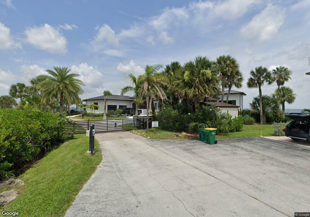
490 Spoonbill Ln Melbourne Beach, FL 32951
Floridana Beach NeighborhoodEstimated Value: $1,998,000 - $4,204,022
3
Beds
5
Baths
3,946
Sq Ft
$762/Sq Ft
Est. Value
About This Home
This home is located at 490 Spoonbill Ln, Melbourne Beach, FL 32951 and is currently estimated at $3,005,674, approximately $761 per square foot. 490 Spoonbill Ln is a home located in Brevard County with nearby schools including Gemini Elementary School, Herbert C. Hoover Middle School, and Melbourne Senior High School.
Ownership History
Date
Name
Owned For
Owner Type
Purchase Details
Closed on
Oct 7, 2019
Sold by
Fine Randall A and Pelling Fine Wendy L
Bought by
Nasrallah Sameer N and Nasrallah Lisa C
Current Estimated Value
Purchase Details
Closed on
May 15, 2007
Sold by
Addington W Robert and Addington Kimberly
Bought by
Fine Randall A and Pelling Fine Wendy L
Home Financials for this Owner
Home Financials are based on the most recent Mortgage that was taken out on this home.
Original Mortgage
$999,850
Interest Rate
6.1%
Mortgage Type
Purchase Money Mortgage
Purchase Details
Closed on
Jul 29, 2002
Sold by
Green Donald M
Bought by
Addington W Robert and Addington Kimberly
Home Financials for this Owner
Home Financials are based on the most recent Mortgage that was taken out on this home.
Original Mortgage
$800,000
Interest Rate
6.53%
Purchase Details
Closed on
May 30, 2000
Sold by
Mitchell Bruce A and Mitchell Karen B
Bought by
Green Donald M
Home Financials for this Owner
Home Financials are based on the most recent Mortgage that was taken out on this home.
Original Mortgage
$500,000
Interest Rate
8.14%
Create a Home Valuation Report for This Property
The Home Valuation Report is an in-depth analysis detailing your home's value as well as a comparison with similar homes in the area
Home Values in the Area
Average Home Value in this Area
Purchase History
| Date | Buyer | Sale Price | Title Company |
|---|---|---|---|
| Nasrallah Sameer N | $1,150,000 | Alliance Title Ins Agcy Inc | |
| Fine Randall A | $1,443,900 | Alliance Title | |
| Addington W Robert | -- | -- | |
| Addington W Robert | $1,000,000 | -- | |
| Green Donald M | $858,000 | -- |
Source: Public Records
Mortgage History
| Date | Status | Borrower | Loan Amount |
|---|---|---|---|
| Previous Owner | Fine Randall A | $999,850 | |
| Previous Owner | Addington W Robert | $800,000 | |
| Previous Owner | Green Donald M | $500,000 |
Source: Public Records
Tax History
| Year | Tax Paid | Tax Assessment Tax Assessment Total Assessment is a certain percentage of the fair market value that is determined by local assessors to be the total taxable value of land and additions on the property. | Land | Improvement |
|---|---|---|---|---|
| 2025 | $27,380 | $2,327,600 | -- | -- |
| 2024 | $27,111 | $2,262,010 | -- | -- |
| 2023 | $27,111 | $2,196,130 | $0 | $0 |
| 2022 | $11,633 | $978,150 | $0 | $0 |
| 2021 | $11,554 | $877,090 | $875,000 | $2,090 |
| 2020 | $11,856 | $877,090 | $875,000 | $2,090 |
| 2019 | $5,995 | $461,860 | $0 | $0 |
| 2018 | $6,209 | $453,250 | $0 | $0 |
| 2017 | $9,815 | $682,500 | $0 | $0 |
| 2016 | $15,947 | $1,038,590 | $469,000 | $569,590 |
| 2015 | $16,547 | $1,031,380 | $469,000 | $562,380 |
| 2014 | $16,716 | $1,023,200 | $469,000 | $554,200 |
Source: Public Records
Map
Nearby Homes
- 315 Island Dr
- 235 Loggerhead Dr
- 227 Loggerhead Dr
- 248 Loggerhead Dr
- 230 Riggs Ave
- 5085 S Highway A1a
- 5283 Palmetto Dr Unit 5283-5285
- 5285 Palmetto Dr Unit 5283/5285
- 5240 S Highway A1a
- 205 Strand Dr Unit 401
- 205 Strand Dr Unit 305
- 201 Seaglass Dr
- 405 Strand Dr
- 475 Strand Dr
- 5297 Solway Dr
- 383 Pentland Dr
- 5357 Solway Dr
- 5375 S Highway A1a
- 379 Pentland Dr
- 511 Moray Place
- 480 Spoonbill Ln
- 463 Spoonbill Ln
- 455 Spoonbill Ln
- 450 Spoonbill Ln
- 460 Riggs Ave
- 445 Spoonbill Ln
- 430 Spoonbill Ln
- 441 Spoonbill Ln
- 435 Spoonbill Ln
- 440 Riggs Ave
- 420 Spoonbill Ln
- 455 Riggs Ave
- 425 Spoonbill Ln
- 430 Riggs Ave
- 410 Spoonbill Ln
- 325 Island Dr
- 0 Spoonbill Ln Unit 434958
- 0 Spoonbill Ln Unit 625299
- 0 Spoonbill Ln Unit 580303
- 445 Riggs Ave
Your Personal Tour Guide
Ask me questions while you tour the home.