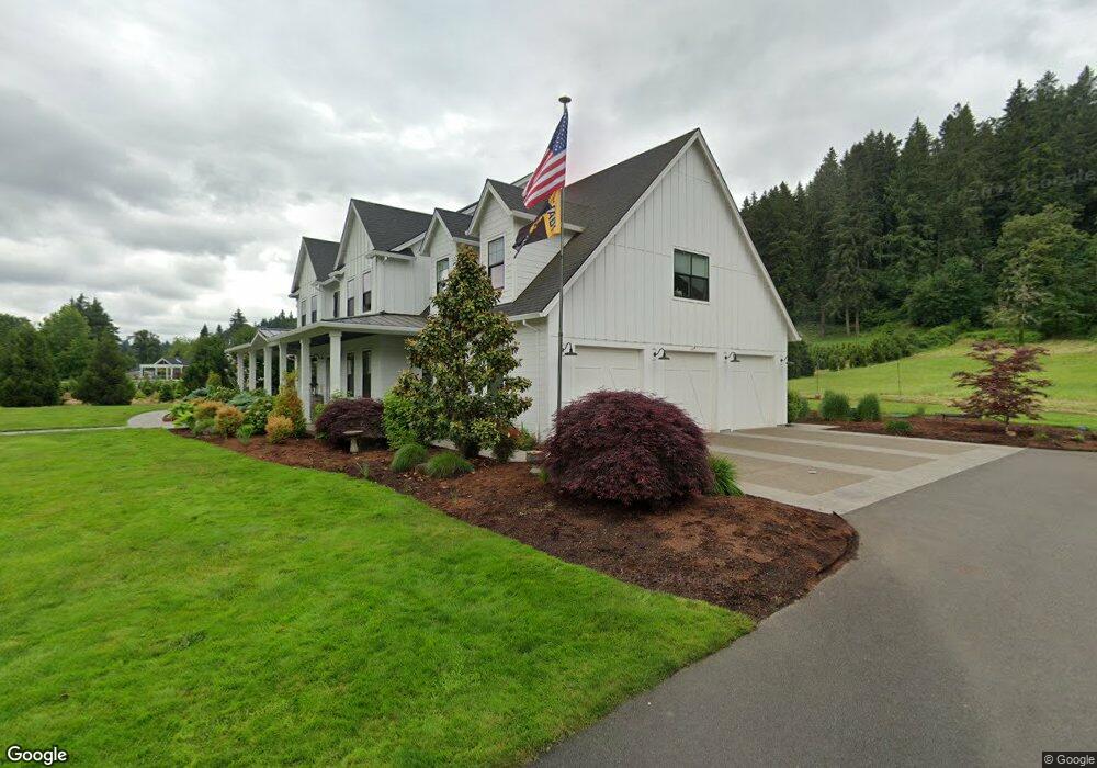
490 SW Borland Rd West Linn, OR 97068
Tualatin Valley NeighborhoodEstimated Value: $711,000 - $1,344,000
2
Beds
1
Bath
1,268
Sq Ft
$794/Sq Ft
Est. Value
About This Home
This home is located at 490 SW Borland Rd, West Linn, OR 97068 and is currently estimated at $1,006,356, approximately $793 per square foot. 490 SW Borland Rd is a home located in Clackamas County with nearby schools including Stafford Primary School, Wilsonville High School, and Three Rivers Charter School.
Ownership History
Date
Name
Owned For
Owner Type
Purchase Details
Closed on
Jun 4, 2025
Sold by
Larsen Lori N and Larsen Bruce G
Bought by
Bruce G And Lori N Larsen Family Trust and Larsen
Current Estimated Value
Purchase Details
Closed on
Jun 1, 1987
Bought by
Larsen Bruce G and Larsen Lori A
Create a Home Valuation Report for This Property
The Home Valuation Report is an in-depth analysis detailing your home's value as well as a comparison with similar homes in the area
Home Values in the Area
Average Home Value in this Area
Purchase History
| Date | Buyer | Sale Price | Title Company |
|---|---|---|---|
| Bruce G And Lori N Larsen Family Trust | -- | None Listed On Document | |
| Larsen Bruce G | $78,000 | -- |
Source: Public Records
Tax History Compared to Growth
Tax History
| Year | Tax Paid | Tax Assessment Tax Assessment Total Assessment is a certain percentage of the fair market value that is determined by local assessors to be the total taxable value of land and additions on the property. | Land | Improvement |
|---|---|---|---|---|
| 2025 | $4,505 | $259,873 | -- | -- |
| 2024 | $4,336 | $252,305 | -- | -- |
| 2023 | $4,336 | $244,959 | $0 | $0 |
| 2022 | $4,086 | $237,829 | $0 | $0 |
| 2021 | $3,726 | $230,902 | $0 | $0 |
| 2020 | $3,757 | $224,179 | $0 | $0 |
| 2019 | $3,578 | $217,654 | $0 | $0 |
| 2018 | $3,380 | $211,315 | $0 | $0 |
| 2017 | $3,258 | $205,163 | $0 | $0 |
| 2016 | $3,178 | $199,191 | $0 | $0 |
| 2015 | $2,999 | $193,391 | $0 | $0 |
| 2014 | $2,829 | $187,760 | $0 | $0 |
Source: Public Records
Map
Nearby Homes
- 2250 River Heights Cir
- 753 Nicole Dr
- 812 Wendy Ct
- 1101 Ryan Ct
- 1043 Meek Way
- 1075 Epperly Way
- 1160 Blankenship Rd
- 24800 SW Big Fir Rd
- 2420 Margery St
- 1765 Ostman Rd
- 2850 SW Turner Rd
- 1618 Village Park Place
- 2584 Wisteria Ct
- 640 Springtree Ln
- 1640 Village Park Place
- 1925 Hillhouse Dr
- 1332 S Woodbine Rd
- 850 Springtree Ln Unit 850
- 2240 Snowberry Ridge Ct Unit 2240
- 2485 Tipperary Ct
- 600 SW Borland Rd
- 460 SW Borland Rd
- 681 SW Borland Rd
- 700 SW Borland Rd
- 23259 SW Bosky Dell Ln
- 23225 SW Bosky Dell Ln
- 715 SW Borland Rd
- 715 SW Borland Rd Unit 3
- 715 SW Borland Rd Unit 2
- 475 SW Borland Rd
- 760 SW Borland Rd
- 23275 SW Bosky Dell Ln
- 775 SW Borland Rd
- 23241 SW Bosky Dell Ln
- 465 SW Borland Rd
- 0 SW Bosky Dell Ln
- 23281 SW Bosky Dell Ln
- 797 SW Borland Rd
- 820 SW Borland Rd
- 478 SW Alderwood Dr