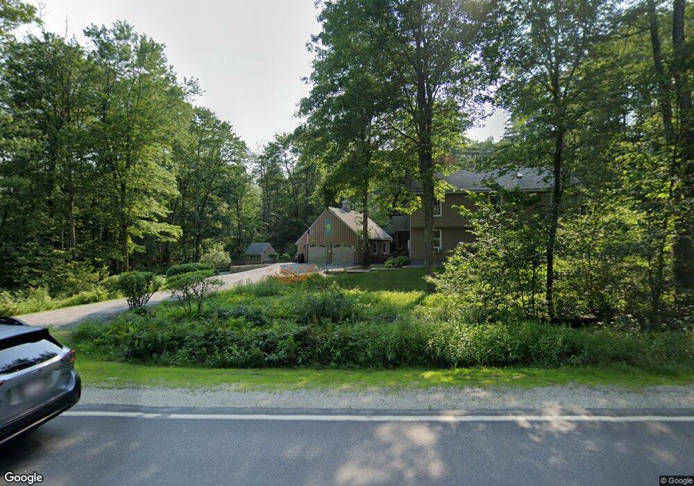
490 Weare Rd New Boston, NH 03070
Estimated Value: $567,429 - $627,000
3
Beds
2
Baths
2,496
Sq Ft
$238/Sq Ft
Est. Value
About This Home
This home is located at 490 Weare Rd, New Boston, NH 03070 and is currently estimated at $592,810, approximately $237 per square foot. 490 Weare Rd is a home with nearby schools including New Boston Central School and Goffstown High School.
Create a Home Valuation Report for This Property
The Home Valuation Report is an in-depth analysis detailing your home's value as well as a comparison with similar homes in the area
Home Values in the Area
Average Home Value in this Area
Tax History Compared to Growth
Tax History
| Year | Tax Paid | Tax Assessment Tax Assessment Total Assessment is a certain percentage of the fair market value that is determined by local assessors to be the total taxable value of land and additions on the property. | Land | Improvement |
|---|---|---|---|---|
| 2024 | $9,054 | $380,600 | $191,400 | $189,200 |
| 2023 | $7,745 | $380,600 | $191,400 | $189,200 |
| 2022 | $7,300 | $380,600 | $191,400 | $189,200 |
| 2021 | $7,041 | $380,600 | $191,400 | $189,200 |
| 2020 | $7,714 | $280,800 | $125,600 | $155,200 |
| 2019 | $143 | $280,800 | $125,600 | $155,200 |
| 2018 | $5,637 | $280,800 | $125,600 | $155,200 |
| 2017 | $53,994 | $280,800 | $125,600 | $155,200 |
| 2016 | $6,557 | $280,800 | $125,600 | $155,200 |
| 2015 | $6,950 | $260,200 | $117,800 | $142,400 |
| 2014 | $6,622 | $260,200 | $117,800 | $142,400 |
| 2013 | $5,570 | $229,800 | $117,800 | $112,000 |
Source: Public Records
Map
Nearby Homes
- 450 Weare Rd
- 342 Weare Rd
- 179 Oak Hill Rd
- 95 Wright Dr
- 77 Gould Rd
- 93 Daniels Rd
- 34 Lull Rd
- 103 Renshaw Rd
- 238 Old Francestown Rd
- 624 S Stark Hwy
- 174 S Stark Hwy Unit 13
- 174 S Stark Hwy Unit 1
- 174 S Stark Hwy Unit 23
- 196 Deering Center Rd
- 54 Briar Hill Rd
- Lot 1-50-1 Colburn Rd
- 252 Clark Hill Rd
- 16 Meetinghouse Hill Rd
- 1 Old Coach Rd
- 1 Cemetery Rd