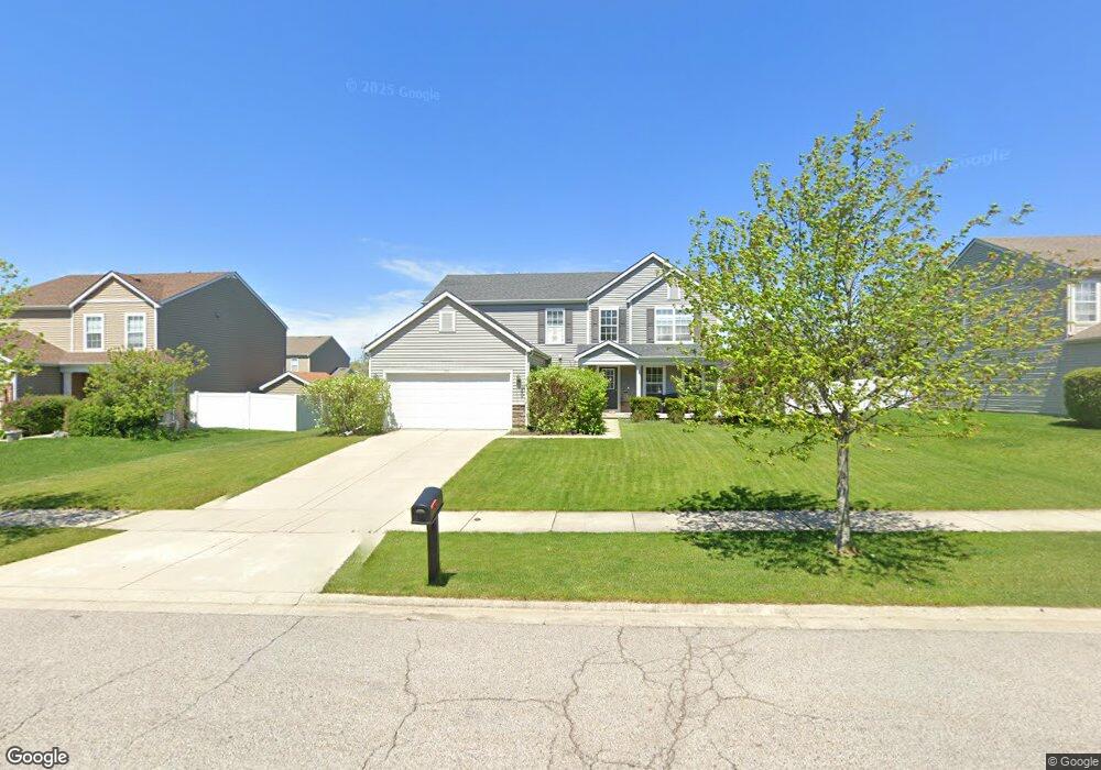
490 Wyndham Dr Crown Point, IN 46307
Estimated Value: $380,415 - $489,000
4
Beds
3
Baths
2,349
Sq Ft
$187/Sq Ft
Est. Value
About This Home
This home is located at 490 Wyndham Dr, Crown Point, IN 46307 and is currently estimated at $439,354, approximately $187 per square foot. 490 Wyndham Dr is a home located in Lake County with nearby schools including Lake Street Elementary School, Robert Taft Middle School, and Crown Point High School.
Ownership History
Date
Name
Owned For
Owner Type
Purchase Details
Closed on
Nov 15, 2011
Sold by
Wyndham Woods Development L L C
Bought by
Balcitis Bryan P and Balcitis Tabitha R
Current Estimated Value
Home Financials for this Owner
Home Financials are based on the most recent Mortgage that was taken out on this home.
Original Mortgage
$187,200
Outstanding Balance
$125,931
Interest Rate
3.97%
Mortgage Type
New Conventional
Estimated Equity
$313,423
Create a Home Valuation Report for This Property
The Home Valuation Report is an in-depth analysis detailing your home's value as well as a comparison with similar homes in the area
Home Values in the Area
Average Home Value in this Area
Purchase History
| Date | Buyer | Sale Price | Title Company |
|---|---|---|---|
| Balcitis Bryan P | -- | Fidelity Scher |
Source: Public Records
Mortgage History
| Date | Status | Borrower | Loan Amount |
|---|---|---|---|
| Open | Balcitis Bryan P | $187,200 |
Source: Public Records
Tax History
| Year | Tax Paid | Tax Assessment Tax Assessment Total Assessment is a certain percentage of the fair market value that is determined by local assessors to be the total taxable value of land and additions on the property. | Land | Improvement |
|---|---|---|---|---|
| 2025 | $3,519 | $363,400 | $51,000 | $312,400 |
| 2024 | $8,751 | $348,800 | $51,000 | $297,800 |
| 2023 | $3,519 | $318,400 | $51,000 | $267,400 |
| 2022 | $3,482 | $312,300 | $51,000 | $261,300 |
| 2021 | $3,362 | $301,800 | $42,400 | $259,400 |
| 2020 | $3,225 | $289,700 | $42,400 | $247,300 |
| 2019 | $3,127 | $281,100 | $42,400 | $238,700 |
| 2018 | $3,687 | $272,200 | $42,400 | $229,800 |
| 2017 | $3,419 | $253,500 | $42,400 | $211,100 |
| 2016 | $3,510 | $255,300 | $42,400 | $212,900 |
| 2014 | $3,151 | $244,700 | $42,400 | $202,300 |
| 2013 | $3,145 | $242,000 | $42,400 | $199,600 |
Source: Public Records
Map
Nearby Homes
- 1540 Brackenbury Ln
- The Ganby Plan at Sawgrass
- The Monarch Plan at Sawgrass
- The Keystone Plan at Sawgrass
- The Breckenridge Plan at Sawgrass
- 283 Nomo Place
- 255 Nomo Place
- 248 Sawgrass Dr
- 246 Sawgrass Dr
- 2725 W 127th Ln
- 244 Sawgrass Dr
- 12728 Ellsworth St
- 1575 S Feather Rock Dr
- 1983 Franklin Dr
- 12201 Cedar Lake Rd
- 217 Hemlock Ln
- 1002 Gordon Ct
- 2184 W 129th Place
- 13085 Taft St
- 12715 Cedar Lake Rd
- 490 Wyndham Dr
- 490 Wyndham Dr
- 490 Wyndham Dr
- 500 Wyndham Dr
- 500 Wyndham Dr
- 470 Wyndham Dr
- 470 Wyndham Dr
- 495 Hastings Ct
- 540 Wyndham Dr
- 440 Wyndham Dr
- 440 Wyndham Dr
- 440 Wyndham Dr
- 440 Wyndham Dr Unit Lot32
- 545 Hastings Ct
- 495 Wyndham Dr
- 475 Wyndham Dr
- 475 Wyndham Dr
- 475 Wyndham Dr
- 501 Wyndham Dr
- Lot 30 Wyndham Dr