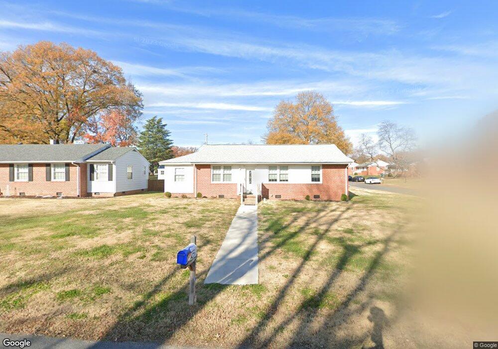
4900 Adair Ave Richmond, VA 23230
Dumbarton NeighborhoodEstimated Value: $304,000 - $344,000
3
Beds
1
Bath
1,000
Sq Ft
$317/Sq Ft
Est. Value
About This Home
This home is located at 4900 Adair Ave, Richmond, VA 23230 and is currently estimated at $317,438, approximately $317 per square foot. 4900 Adair Ave is a home located in Henrico County with nearby schools including Johnson Elementary School, Brookland Middle School, and Tucker High School.
Ownership History
Date
Name
Owned For
Owner Type
Purchase Details
Closed on
Mar 20, 2002
Bought by
Gentry Chester L
Current Estimated Value
Home Financials for this Owner
Home Financials are based on the most recent Mortgage that was taken out on this home.
Original Mortgage
$91,000
Outstanding Balance
$37,612
Interest Rate
6.91%
Mortgage Type
New Conventional
Estimated Equity
$279,826
Create a Home Valuation Report for This Property
The Home Valuation Report is an in-depth analysis detailing your home's value as well as a comparison with similar homes in the area
Home Values in the Area
Average Home Value in this Area
Purchase History
| Date | Buyer | Sale Price | Title Company |
|---|---|---|---|
| Gentry Chester L | -- | -- |
Source: Public Records
Mortgage History
| Date | Status | Borrower | Loan Amount |
|---|---|---|---|
| Open | Gentry Chester L | $91,000 |
Source: Public Records
Tax History Compared to Growth
Tax History
| Year | Tax Paid | Tax Assessment Tax Assessment Total Assessment is a certain percentage of the fair market value that is determined by local assessors to be the total taxable value of land and additions on the property. | Land | Improvement |
|---|---|---|---|---|
| 2025 | -- | $242,500 | $70,000 | $172,500 |
| 2024 | -- | $227,500 | $55,000 | $172,500 |
| 2023 | -- | $227,500 | $55,000 | $172,500 |
| 2022 | $0 | $189,200 | $48,000 | $141,200 |
| 2021 | $1,389 | $163,500 | $40,000 | $123,500 |
| 2020 | $1,389 | $163,500 | $40,000 | $123,500 |
| 2019 | $1,395 | $160,400 | $40,000 | $120,400 |
| 2018 | $1,389 | $159,600 | $40,000 | $119,600 |
| 2017 | $1,271 | $146,100 | $38,000 | $108,100 |
| 2016 | $1,179 | $135,500 | $38,000 | $97,500 |
| 2015 | $1,179 | $135,500 | $38,000 | $97,500 |
| 2014 | $1,179 | $135,500 | $38,000 | $97,500 |
Source: Public Records
Map
Nearby Homes
- 4801 Penick Rd
- 6711 Fernwood St
- 6700 Kirkwood St
- Lot 13 Fernwood St
- 5605 Hard Rock Place
- Lot 11 Bethlehem Rd
- TBD Bethlehem Rd
- Lot 9 Bethlehem Rd
- 5423 Falmouth St
- 7209 Harrison Ave
- 7303 Erskine St
- 3004 Dunwick Rd
- 7905 Wistar Woods Ct
- 7805 Wistar Woods Place
- 6304 Engel Rd
- 2673 St Elias Dr Unit A
- 2612 Lassen Walk Unit B
- 2648 Lassen Walk Unit A
- 2713 Acadia Dr Unit 1312
- 8119 Wistar Creek Mews Unit B
- 4902 Adair Ave
- 4904 Adair Ave
- 4901 Embassy Dr
- 6701 Hazelwood St
- 6703 Hazelwood St
- 4903 Embassy Dr
- 4809 Adair Ave
- 4811 Adair Ave
- 6705 Hazelwood St
- 4905 Embassy Dr
- 4906 Adair Ave
- 4807 Adair Ave
- 4813 Adair Ave
- 4805 Adair Ave
- 4815 Adair Ave
- 6707 Hazelwood St
- 4908 Adair Ave
- 6700 Glenwood St
- 6702 Glenwood St
- 4803 Adair Ave