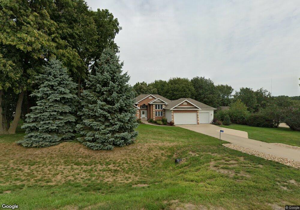
4900 Hunt Rd Cedar Rapids, IA 52411
Estimated Value: $514,968 - $609,000
3
Beds
3
Baths
2,663
Sq Ft
$212/Sq Ft
Est. Value
About This Home
This home is located at 4900 Hunt Rd, Cedar Rapids, IA 52411 and is currently estimated at $565,492, approximately $212 per square foot. 4900 Hunt Rd is a home located in Linn County with nearby schools including Hiawatha Elementary School, Harding Middle School, and John F. Kennedy High School.
Ownership History
Date
Name
Owned For
Owner Type
Purchase Details
Closed on
Apr 28, 2011
Sold by
Kimball James A and Kimball Sandra Z
Bought by
Sutterer Stephen J and Sutterer Sandy S
Current Estimated Value
Home Financials for this Owner
Home Financials are based on the most recent Mortgage that was taken out on this home.
Original Mortgage
$175,000
Outstanding Balance
$10,712
Interest Rate
4.77%
Mortgage Type
New Conventional
Estimated Equity
$554,780
Create a Home Valuation Report for This Property
The Home Valuation Report is an in-depth analysis detailing your home's value as well as a comparison with similar homes in the area
Home Values in the Area
Average Home Value in this Area
Purchase History
| Date | Buyer | Sale Price | Title Company |
|---|---|---|---|
| Sutterer Stephen J | $324,500 | None Available |
Source: Public Records
Mortgage History
| Date | Status | Borrower | Loan Amount |
|---|---|---|---|
| Open | Sutterer Stephen J | $175,000 |
Source: Public Records
Tax History
| Year | Tax Paid | Tax Assessment Tax Assessment Total Assessment is a certain percentage of the fair market value that is determined by local assessors to be the total taxable value of land and additions on the property. | Land | Improvement |
|---|---|---|---|---|
| 2025 | $4,830 | $479,500 | $91,200 | $388,300 |
| 2024 | $4,948 | $433,500 | $91,200 | $342,300 |
| 2023 | $4,948 | $433,500 | $91,200 | $342,300 |
| 2022 | $4,888 | $359,000 | $91,200 | $267,800 |
| 2021 | $5,056 | $359,000 | $91,200 | $267,800 |
| 2020 | $5,056 | $343,300 | $70,000 | $273,300 |
| 2019 | $4,652 | $323,100 | $70,000 | $253,100 |
| 2018 | $4,552 | $323,100 | $70,000 | $253,100 |
| 2017 | $4,532 | $308,400 | $70,000 | $238,400 |
| 2016 | $4,551 | $308,400 | $70,000 | $238,400 |
| 2015 | $4,579 | $308,400 | $70,000 | $238,400 |
| 2014 | $4,450 | $308,400 | $70,000 | $238,400 |
| 2013 | $4,360 | $308,400 | $70,000 | $238,400 |
Source: Public Records
Map
Nearby Homes
- 2862 Anne Dr
- 2921 Timber Creek Ct
- 2846 Mary Dr
- 2913 Timber Creek Ct
- 2879 Grassland Ct
- 2750 Cecelia Dr
- 2746 Cecelia Dr
- 2758 Cecelia Dr
- 2754 Cecelia Dr
- 2856 Mary Green Rd
- 2747 Cecelia Dr
- 2751 Cecelia Dr
- 2909 Timber Creek Ct
- 2877 Grassland Ct
- 2853 Mary Green Rd
- 2875 Grassland Ct
- 2830 Prairie Wind Ct
- 2851 Mary Green Rd
- 2912 Timber Creek Ct
- 2873 Grassland Ct
- 4950 Hunt Rd
- 4850 Hunt Rd
- 4810 Mary Green Ct
- 4808 Mary Green Ct
- 4808 Hunt Rd
- 4806 Mary Green Ct
- 5050 Hunt Rd
- 4814 Bovary Ct
- 4816 Bovary Ct
- 4809 Mary Green Ct
- 3505 Canterbury Ln
- 4811 Mary Green Ct
- 4818 Bovary Ct
- 4807 Mary Green Ct
- 5100 Hunt Rd
- 3525 Canterbury Ln
- 3519 Canterbury Ln
- 3513 Canterbury Ln
- 4805 Mary Green Ct
- 4820 Bovary Ct
Your Personal Tour Guide
Ask me questions while you tour the home.