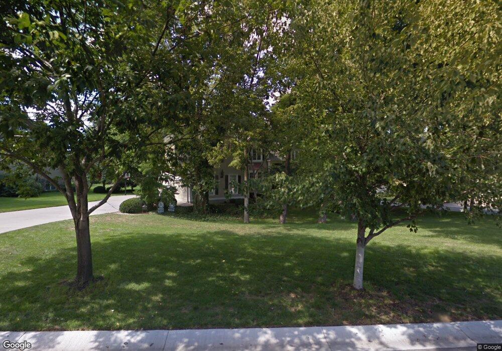
4900 W 132nd St Leawood, KS 66209
Estimated Value: $942,000 - $1,112,000
5
Beds
5
Baths
3,995
Sq Ft
$249/Sq Ft
Est. Value
About This Home
This home is located at 4900 W 132nd St, Leawood, KS 66209 and is currently estimated at $995,149, approximately $249 per square foot. 4900 W 132nd St is a home located in Johnson County with nearby schools including Overland Trail Elementary School, Overland Trail Middle School, and Blue Valley North High School.
Ownership History
Date
Name
Owned For
Owner Type
Purchase Details
Closed on
Jun 29, 2007
Sold by
Ancona Michael L and Ancona Kimberly C
Bought by
Rhyner Richard and Rhyner Susan
Current Estimated Value
Home Financials for this Owner
Home Financials are based on the most recent Mortgage that was taken out on this home.
Original Mortgage
$163,050
Outstanding Balance
$24,608
Interest Rate
6.19%
Mortgage Type
Credit Line Revolving
Estimated Equity
$970,541
Purchase Details
Closed on
Apr 4, 2003
Sold by
Severoni Anthony and Severoni Alma
Bought by
Ancona Michael L and Ancona Kimberly C
Home Financials for this Owner
Home Financials are based on the most recent Mortgage that was taken out on this home.
Original Mortgage
$414,960
Interest Rate
5.12%
Create a Home Valuation Report for This Property
The Home Valuation Report is an in-depth analysis detailing your home's value as well as a comparison with similar homes in the area
Home Values in the Area
Average Home Value in this Area
Purchase History
| Date | Buyer | Sale Price | Title Company |
|---|---|---|---|
| Rhyner Richard | -- | Chicago Title Insurance Co | |
| Ancona Michael L | -- | Security Land Title Company |
Source: Public Records
Mortgage History
| Date | Status | Borrower | Loan Amount |
|---|---|---|---|
| Open | Rhyner Richard | $163,050 | |
| Open | Rhyner Richard | $417,000 | |
| Previous Owner | Ancona Michael L | $414,960 |
Source: Public Records
Tax History Compared to Growth
Tax History
| Year | Tax Paid | Tax Assessment Tax Assessment Total Assessment is a certain percentage of the fair market value that is determined by local assessors to be the total taxable value of land and additions on the property. | Land | Improvement |
|---|---|---|---|---|
| 2024 | $11,414 | $101,890 | $21,941 | $79,949 |
| 2023 | $10,862 | $95,956 | $21,941 | $74,015 |
| 2022 | $9,830 | $85,054 | $21,941 | $63,113 |
| 2021 | $9,575 | $79,224 | $21,941 | $57,283 |
| 2020 | $9,464 | $76,728 | $21,941 | $54,787 |
| 2019 | $9,033 | $71,944 | $19,966 | $51,978 |
| 2018 | $8,983 | $70,265 | $19,966 | $50,299 |
| 2017 | $8,949 | $68,828 | $16,643 | $52,185 |
| 2016 | $8,285 | $63,813 | $14,552 | $49,261 |
| 2015 | $8,242 | $62,709 | $14,552 | $48,157 |
| 2013 | -- | $62,031 | $14,552 | $47,479 |
Source: Public Records
Map
Nearby Homes
- 4989 W 131st Place
- 4908 W 131st Terrace
- 13143 Rosewood St
- 4801 W 133rd St Unit 301
- 13216 Granada Dr
- 4951 W 134th St Unit 101
- 4951 W 134th St Unit 401
- 13008 Fontana St
- 13009 Fontana St
- 3349 W 133rd Terrace
- 3345 W 133rd Terrace
- 3357 W 133rd Terrace
- 4417 W 130th St
- 4444 W 130th Terrace
- 5617 W 131st St
- 3456 W 133rd Terrace
- 3260 W 133rd Terrace
- 3344 W 133rd Terrace
- 2760 W 133rd Terrace
- 2756 W 133rd Terrace
- 4904 W 132nd St
- 13113 Cedar St
- 13117 Cedar St
- 4981 W 131st Place
- 4901 W 132nd St
- 13121 Cedar St
- 4905 W 132nd St
- 13201 Cedar St
- 4908 W 132nd St
- 13109 Cedar St
- 4985 W 131st Place
- 4909 W 132nd St
- 13205 Cedar St
- 4912 W 132nd St
- 4940 W 132nd Terrace
- 4944 W 132nd Terrace
- 4913 W 132nd St
- 13105 Cedar St
- 4980 W 131st Place
- 13209 Cedar St