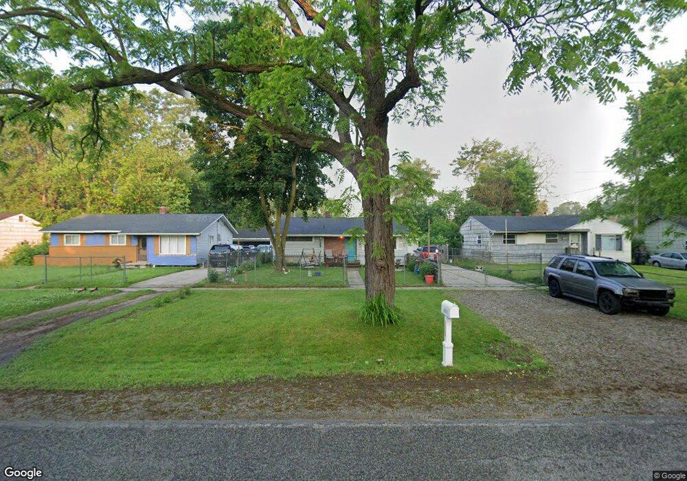
4901 Branch Rd Flint, MI 48506
Northeast Flint NeighborhoodEstimated Value: $57,000 - $69,000
3
Beds
1
Bath
1,040
Sq Ft
$62/Sq Ft
Est. Value
About This Home
This home is located at 4901 Branch Rd, Flint, MI 48506 and is currently estimated at $64,657, approximately $62 per square foot. 4901 Branch Rd is a home located in Genesee County with nearby schools including Brownell STEM Academy, Richfield Public School Academy, and Richfield Early Learning Center.
Ownership History
Date
Name
Owned For
Owner Type
Purchase Details
Closed on
Jan 27, 2025
Sold by
Vance Robert R and Vance Suzanne G
Bought by
Simpson Arthur Daniel
Current Estimated Value
Purchase Details
Closed on
Dec 1, 2009
Sold by
Vance Robert and Vance Suzanne
Bought by
Simpson Arthur Daniel
Home Financials for this Owner
Home Financials are based on the most recent Mortgage that was taken out on this home.
Original Mortgage
$50,000
Interest Rate
6.5%
Mortgage Type
Seller Take Back
Purchase Details
Closed on
Aug 8, 2008
Sold by
Va
Bought by
Citimortgage Inc
Purchase Details
Closed on
Apr 22, 2008
Sold by
Citimortgage Inc
Bought by
Va
Purchase Details
Closed on
Mar 19, 2008
Sold by
Gifford John B
Bought by
Citimortgage Inc
Purchase Details
Closed on
Sep 11, 2000
Sold by
Hall E Hall J and Hall N B
Bought by
Gifford John B
Create a Home Valuation Report for This Property
The Home Valuation Report is an in-depth analysis detailing your home's value as well as a comparison with similar homes in the area
Home Values in the Area
Average Home Value in this Area
Purchase History
| Date | Buyer | Sale Price | Title Company |
|---|---|---|---|
| Simpson Arthur Daniel | $50,000 | None Listed On Document | |
| Simpson Arthur Daniel | $50,000 | Philip F Greco Title Company | |
| Citimortgage Inc | -- | None Available | |
| Va | -- | None Available | |
| Citimortgage Inc | $43,731 | None Available | |
| Gifford John B | $67,300 | Sargents Title Company |
Source: Public Records
Mortgage History
| Date | Status | Borrower | Loan Amount |
|---|---|---|---|
| Previous Owner | Simpson Arthur Daniel | $50,000 |
Source: Public Records
Tax History
| Year | Tax Paid | Tax Assessment Tax Assessment Total Assessment is a certain percentage of the fair market value that is determined by local assessors to be the total taxable value of land and additions on the property. | Land | Improvement |
|---|---|---|---|---|
| 2025 | $1,009 | $29,500 | $0 | $0 |
| 2024 | $914 | $25,000 | $0 | $0 |
| 2023 | $897 | $20,900 | $0 | $0 |
| 2022 | $0 | $14,900 | $0 | $0 |
| 2021 | $933 | $15,300 | $0 | $0 |
| 2020 | $841 | $12,100 | $0 | $0 |
| 2019 | $865 | $13,200 | $0 | $0 |
| 2018 | $872 | $13,200 | $0 | $0 |
| 2017 | $847 | $0 | $0 | $0 |
| 2016 | $841 | $0 | $0 | $0 |
| 2015 | -- | $0 | $0 | $0 |
| 2014 | -- | $0 | $0 | $0 |
| 2012 | -- | $16,500 | $0 | $0 |
Source: Public Records
Map
Nearby Homes
- 4907 Delta Dr
- 2909 E Pierson Rd
- 2825 Eaton Place
- 2727 Eaton Place
- 3364 E Pierson Rd
- 4127 Coggins Ave
- 3294 Huggins Ave
- 2919 Hampstead Dr
- 2935 Richfield Rd
- 5919 Western Rd
- 3456 E Pierson Rd
- 00 Richfield Rd
- 2975 Henry St
- 3010 Wyoming Ave
- 3210 Wyoming Ave
- 2925 Colorado Ave
- 4298 N Center Rd
- 4072 Crosby Rd
- 4141 Hidden View Dr
- 1704 E Webster Rd
- 4907 Branch Rd
- 4821 Branch Rd
- 4902 Delta Dr
- 4911 Branch Rd
- 4817 Branch Rd
- 2938 Epsilon Trail
- 4908 Delta Dr
- G3418 Branch Rd
- 4912 Delta Dr
- 4915 Branch Rd
- 4813 Branch Rd
- 2934 Epsilon Trail
- 3002 Gamma Ln
- 2930 Epsilon Trail
- 4801 Branch Rd
- 2927 Epsilon Trail
- 2922 Gamma Ln
- 4911 Delta Dr
- 5001 Branch Rd
- 2926 Epsilon Trail
Your Personal Tour Guide
Ask me questions while you tour the home.