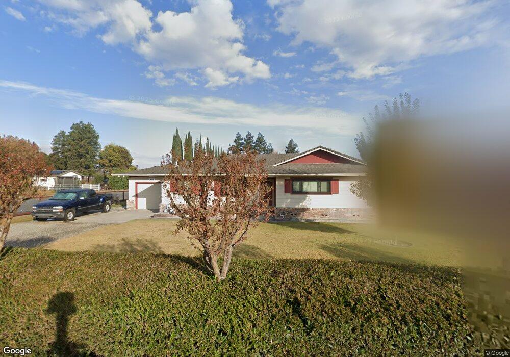
4901 E Fig Ave Manteca, CA 95337
Estimated Value: $576,000 - $845,000
3
Beds
2
Baths
1,522
Sq Ft
$439/Sq Ft
Est. Value
About This Home
This home is located at 4901 E Fig Ave, Manteca, CA 95337 and is currently estimated at $668,607, approximately $439 per square foot. 4901 E Fig Ave is a home located in San Joaquin County with nearby schools including Nile Garden Elementary School and Sierra High School.
Ownership History
Date
Name
Owned For
Owner Type
Purchase Details
Closed on
Aug 3, 2001
Sold by
Lewis Alfred C and Lewis Shirley M
Bought by
Robinson Edmund H and Robinson Natasha E
Current Estimated Value
Home Financials for this Owner
Home Financials are based on the most recent Mortgage that was taken out on this home.
Original Mortgage
$185,000
Outstanding Balance
$71,905
Interest Rate
7.1%
Estimated Equity
$596,702
Create a Home Valuation Report for This Property
The Home Valuation Report is an in-depth analysis detailing your home's value as well as a comparison with similar homes in the area
Purchase History
| Date | Buyer | Sale Price | Title Company |
|---|---|---|---|
| Robinson Edmund H | $340,000 | First American Title Co |
Source: Public Records
Mortgage History
| Date | Status | Borrower | Loan Amount |
|---|---|---|---|
| Open | Robinson Edmund H | $185,000 |
Source: Public Records
Tax History
| Year | Tax Paid | Tax Assessment Tax Assessment Total Assessment is a certain percentage of the fair market value that is determined by local assessors to be the total taxable value of land and additions on the property. | Land | Improvement |
|---|---|---|---|---|
| 2025 | $5,615 | $502,254 | $150,675 | $351,579 |
| 2024 | $5,459 | $492,407 | $147,721 | $344,686 |
| 2023 | $5,389 | $482,753 | $144,825 | $337,928 |
| 2022 | $5,312 | $473,288 | $141,986 | $331,302 |
| 2021 | $5,254 | $464,008 | $139,202 | $324,806 |
| 2020 | $5,044 | $459,251 | $137,775 | $321,476 |
| 2019 | $4,978 | $450,247 | $135,074 | $315,173 |
| 2018 | $4,912 | $441,420 | $132,426 | $308,994 |
| 2017 | $4,841 | $432,766 | $129,830 | $302,936 |
| 2016 | $4,725 | $424,283 | $127,285 | $296,998 |
| 2014 | $2,698 | $250,000 | $75,000 | $175,000 |
Source: Public Records
Map
Nearby Homes
- 2178 Al Fonseca Ln
- 1730 W Woodward Ave
- 1290 Nascimento Ct
- 1957 W Woodward Ave
- 1808 Tiki Ave
- 2182 River Willow Ave
- 2883 Pixley Ct
- 3095 Tower St
- 3052 Russos Dr
- 2004 Ravine Ln
- 1052 Lavender St
- 1004 Lavender St
- 2422 Sather St
- 2026 Maiden Grass Ave
- 2384 Zellerbach St
- 1676 Red Ribbons Ln
- 2518 Sather St
- 962 Orange Blossom Ave
- 2532 Sather St
- 2466 Zellerbach St
- 4919 E Fig Ave
- 4871 E Fig Ave
- 4961 E Fig Ave
- 4843 E Fig Ave
- 5011 E Fig Ave
- 4920 E Fig Ave
- 5151 Fig Rd
- 5151 E Fig Ave
- 5020 E Fig Ave
- 4701 E Fig Ave
- 4700 E Fig Ave
- 5050 E Fig Ave
- 5175 Fig Rd
- 5175 E Fig Ave
- 4601 E Fig Ave
- 21585 Oleander Rd
- 21651 Oleander Rd
- 21676 S Airport Way
- 21735 Oleander Rd
- 21651 Oleander Ave
Your Personal Tour Guide
Ask me questions while you tour the home.