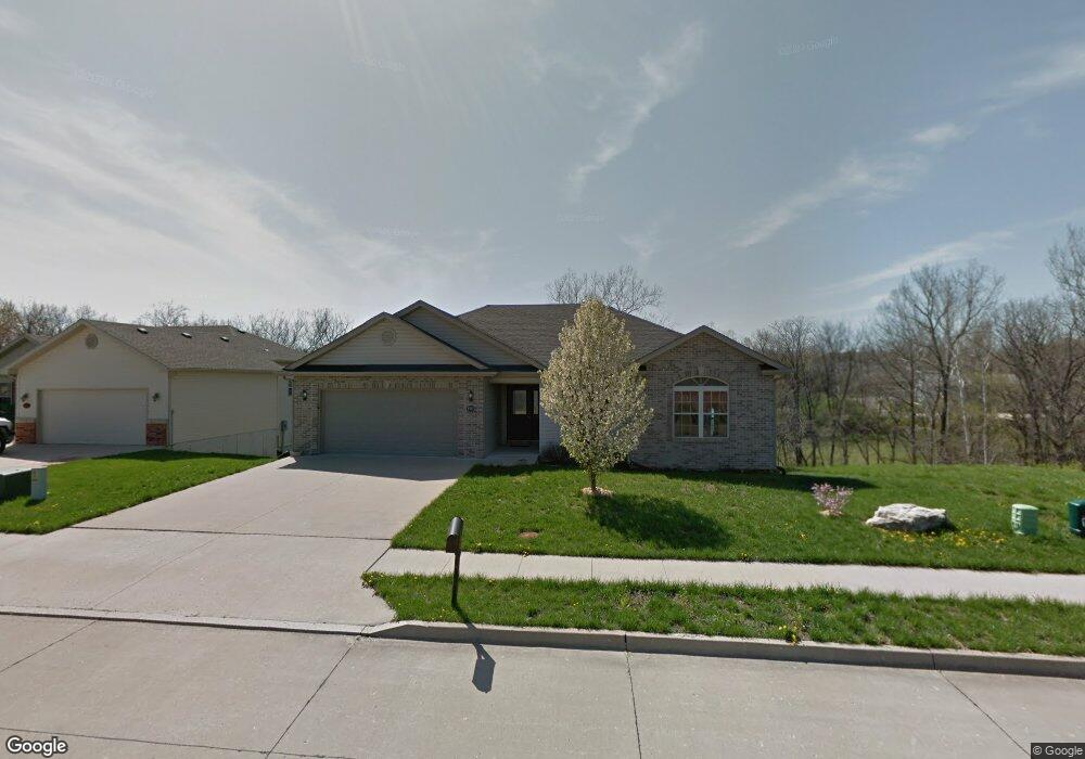
4903 Mountain Top Ct Columbia, MO 65202
Estimated Value: $266,000 - $357,000
4
Beds
3
Baths
2,536
Sq Ft
$118/Sq Ft
Est. Value
About This Home
This home is located at 4903 Mountain Top Ct, Columbia, MO 65202 and is currently estimated at $300,227, approximately $118 per square foot. 4903 Mountain Top Ct is a home located in Boone County with nearby schools including Parkade Elementary School, Smithton Middle School, and David H. Hickman High School.
Ownership History
Date
Name
Owned For
Owner Type
Purchase Details
Closed on
Nov 2, 2009
Sold by
Federal National Mortgage Association
Bought by
Evaniak Mark N
Current Estimated Value
Home Financials for this Owner
Home Financials are based on the most recent Mortgage that was taken out on this home.
Original Mortgage
$163,817
Outstanding Balance
$107,239
Interest Rate
5.05%
Mortgage Type
FHA
Estimated Equity
$192,988
Purchase Details
Closed on
Aug 24, 2009
Sold by
Moe David J and Moe Patricia E
Bought by
Federal National Mortgage Association
Purchase Details
Closed on
Mar 2, 2007
Sold by
Garth Coleman Inc
Bought by
Moe David J and Moe Patricia E
Home Financials for this Owner
Home Financials are based on the most recent Mortgage that was taken out on this home.
Original Mortgage
$147,700
Interest Rate
6.25%
Mortgage Type
New Conventional
Create a Home Valuation Report for This Property
The Home Valuation Report is an in-depth analysis detailing your home's value as well as a comparison with similar homes in the area
Home Values in the Area
Average Home Value in this Area
Purchase History
| Date | Buyer | Sale Price | Title Company |
|---|---|---|---|
| Evaniak Mark N | -- | None Available | |
| Federal National Mortgage Association | $160,887 | None Available | |
| Moe David J | -- | None Available |
Source: Public Records
Mortgage History
| Date | Status | Borrower | Loan Amount |
|---|---|---|---|
| Open | Evaniak Mark N | $163,817 | |
| Previous Owner | Moe David J | $147,700 |
Source: Public Records
Tax History Compared to Growth
Tax History
| Year | Tax Paid | Tax Assessment Tax Assessment Total Assessment is a certain percentage of the fair market value that is determined by local assessors to be the total taxable value of land and additions on the property. | Land | Improvement |
|---|---|---|---|---|
| 2025 | $2,302 | $39,064 | $4,788 | $34,276 |
| 2024 | $2,302 | $34,124 | $4,788 | $29,336 |
| 2023 | $2,283 | $34,124 | $4,788 | $29,336 |
| 2022 | $2,193 | $32,813 | $4,788 | $28,025 |
| 2021 | $2,197 | $32,813 | $4,788 | $28,025 |
| 2020 | $2,249 | $31,559 | $4,788 | $26,771 |
| 2019 | $2,249 | $31,559 | $4,788 | $26,771 |
| 2018 | $2,265 | $0 | $0 | $0 |
| 2017 | $2,237 | $31,559 | $4,788 | $26,771 |
| 2016 | $2,233 | $31,559 | $4,788 | $26,771 |
| 2015 | $2,051 | $31,559 | $4,788 | $26,771 |
| 2014 | $2,058 | $31,559 | $4,788 | $26,771 |
Source: Public Records
Map
Nearby Homes
- 107 Snow Peak Ct
- LOT 70 Aspen Ridge Dr
- LOT 18 Lookout Peak Dr
- LOT 22 Lookout Peak Dr
- LOT 23 Lookout Peak Dr
- 240 E Tully Ct
- 5 Copper Mountain Dr
- L401-L430 Forest Ridge Plat 4
- LOT 502 Sullivan St
- LOT 239 Peregrine Place
- LOT 143 Sullivan St
- LOT 225 Chancellor Cir
- LOT 237 Peregrine Place
- LOT 224 Chancellor Cir
- 201 Copper Mountain Dr
- 5212 Silver Mill Dr
- LOT 213 Chancellor Cir
- LOT 212 Chancellor Cir
- LOT 148 Sullivan St
- LOT 226 Chancellor Cir
- 4901 Mountain Top Ct
- 4905 Mountain Top Ct
- 4905 Mountain Top Court Ct
- 4809 Mountain Top Ct
- 4907 Mountain Top Ct
- 106 Snow Peak Ct
- 107 Powder Bluff Dr
- LOT 115 Powder Bluff Dr
- Lot 122 Mountain Top Ct
- 4807 Mountain Top Ct
- 104 Snow Peak Ct
- 105 Powder Bluff Dr
- 109 Snow Peak Ct
- 106 Powder Bluff Dr
- 4805 Mountain Top Ct
- 102 Snow Peak Ct
- 102 Snow Peak Ct Unit 1
- 105 Snow Peak Ct
- 103 Powder Bluff Dr
- 104 Powder Bluff Dr