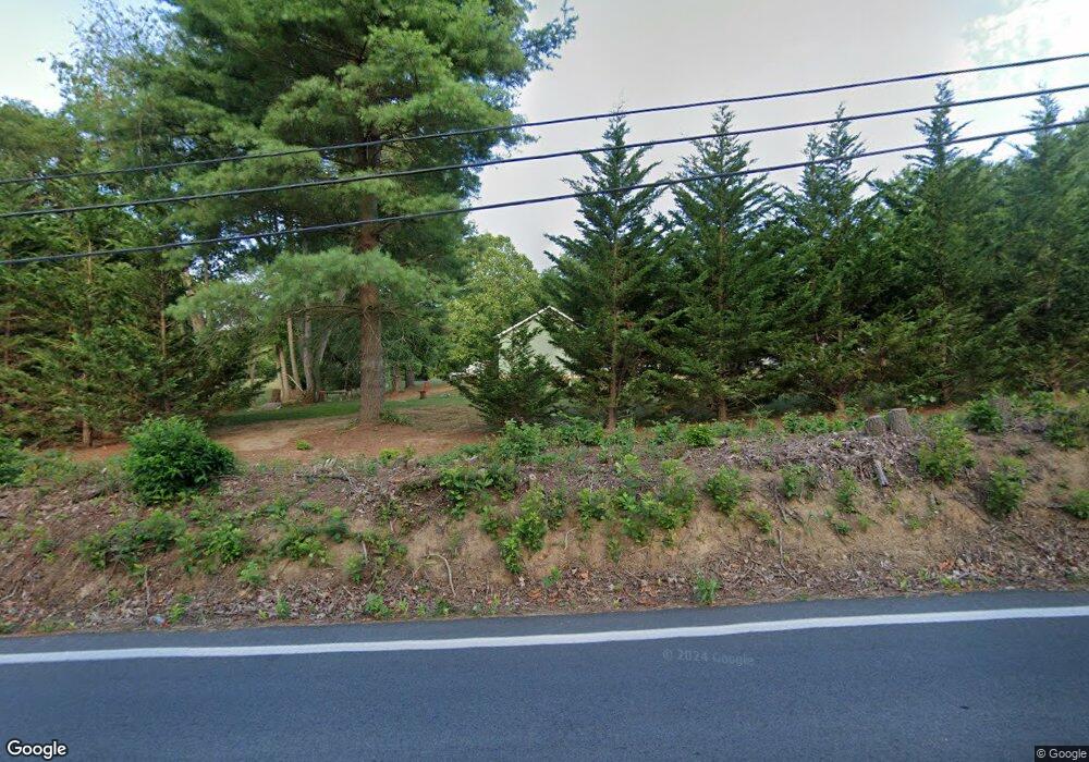
4905 Summit Point Rd Charles Town, WV 25414
Estimated Value: $377,000 - $445,285
3
Beds
2
Baths
1,540
Sq Ft
$272/Sq Ft
Est. Value
About This Home
This home is located at 4905 Summit Point Rd, Charles Town, WV 25414 and is currently estimated at $419,571, approximately $272 per square foot. 4905 Summit Point Rd is a home located in Jefferson County with nearby schools including South Jefferson Elementary School, Charles Town Middle School, and Washington High School.
Ownership History
Date
Name
Owned For
Owner Type
Purchase Details
Closed on
Jul 8, 2011
Sold by
Dugo Charles S and Dugo Helena M
Bought by
Stahler James C and Brown Ophelia A
Current Estimated Value
Home Financials for this Owner
Home Financials are based on the most recent Mortgage that was taken out on this home.
Original Mortgage
$172,025
Outstanding Balance
$118,236
Interest Rate
4.49%
Mortgage Type
FHA
Estimated Equity
$301,335
Purchase Details
Closed on
Jul 6, 2009
Sold by
Glaniny Jonathan L
Bought by
Dugo Charles S and Dugo Helena M
Home Financials for this Owner
Home Financials are based on the most recent Mortgage that was taken out on this home.
Original Mortgage
$172,000
Interest Rate
5.31%
Mortgage Type
New Conventional
Create a Home Valuation Report for This Property
The Home Valuation Report is an in-depth analysis detailing your home's value as well as a comparison with similar homes in the area
Home Values in the Area
Average Home Value in this Area
Purchase History
| Date | Buyer | Sale Price | Title Company |
|---|---|---|---|
| Stahler James C | $179,500 | None Available | |
| Dugo Charles S | $215,000 | None Available |
Source: Public Records
Mortgage History
| Date | Status | Borrower | Loan Amount |
|---|---|---|---|
| Open | Stahler James C | $172,025 | |
| Previous Owner | Dugo Charles S | $172,000 |
Source: Public Records
Tax History Compared to Growth
Tax History
| Year | Tax Paid | Tax Assessment Tax Assessment Total Assessment is a certain percentage of the fair market value that is determined by local assessors to be the total taxable value of land and additions on the property. | Land | Improvement |
|---|---|---|---|---|
| 2024 | $1,851 | $178,100 | $85,600 | $92,500 |
| 2023 | $1,743 | $169,200 | $76,700 | $92,500 |
| 2022 | $1,637 | $157,400 | $76,700 | $80,700 |
| 2021 | $1,567 | $149,000 | $76,700 | $72,300 |
| 2020 | $1,243 | $129,200 | $56,100 | $73,100 |
| 2019 | $1,277 | $130,100 | $56,100 | $74,000 |
| 2018 | $1,493 | $127,100 | $56,100 | $71,000 |
| 2017 | $1,502 | $127,900 | $56,100 | $71,800 |
| 2016 | $1,474 | $125,800 | $53,300 | $72,500 |
| 2015 | $1,230 | $104,400 | $36,400 | $68,000 |
| 2014 | $1,237 | $105,200 | $36,400 | $68,800 |
Source: Public Records
Map
Nearby Homes
- 31 Locust Hill Dr
- 0 Lloyd Rd Unit WVJF2017188
- 117 Mount Vernon Dr
- UNK LOT 3 Huyett Rd
- TBD Huyett Rd
- 776 Thoroughbred Dr
- 0 Summit Point Rd Unit WVJF2016766
- 3622 Summit Point Rd
- 59 Paddock Place
- 899 Earle Rd
- LOT 3 Huyett Rd
- 1233 Earle Rd
- 1237 Earle Rd
- 268 Oakmont Dr
- 26 Stoneway Ct
- 122 Heritage Knoll Ln
- 116 Rehoboth Ln
- Cedar II Plan at Huntfield - Single Family Homes
- Bridgeport II Plan at Huntfield - Single Family Homes
- Oakdale II Plan at Huntfield - Single Family Homes
- 11 Bushrod Ct
- 128 Locust Hill Dr
- 4982 Summit Point Rd
- 2418 Lloyd Rd
- 2345 Lloyd Rd
- 0 Locust Hill Dr
- 16 Bushrod Ct
- 157 Locust Hill Dr
- 65 Locust Hill Dr
- 181 Locust Hill Dr
- 224 Locust Hill Dr
- 4828 Summit Point Rd
- 72 Homewood Ct
- 275 Locust Hill Dr
- 296 Locust Hill Dr
- 66 Homewood Ct
- 11 Grayson Ct
- 494 Happy Retreat Ln
- 27 Homewood Dr
- 299 Locust Hill Dr
