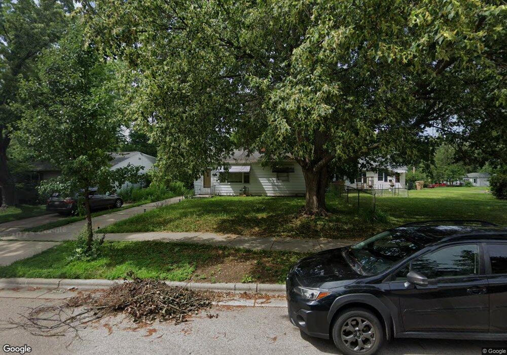
4906 Allis Ave Madison, WI 53716
Lake Edge NeighborhoodEstimated Value: $288,000 - $360,000
2
Beds
2
Baths
768
Sq Ft
$418/Sq Ft
Est. Value
About This Home
This home is located at 4906 Allis Ave, Madison, WI 53716 and is currently estimated at $321,374, approximately $418 per square foot. 4906 Allis Ave is a home located in Dane County with nearby schools including Sennett Middle School, La Follette High School, and Nuestro Mundo.
Ownership History
Date
Name
Owned For
Owner Type
Purchase Details
Closed on
Jun 7, 2018
Sold by
Maclsaac Laura and Cornell Laura Lee
Bought by
Odonnell Edward C
Current Estimated Value
Home Financials for this Owner
Home Financials are based on the most recent Mortgage that was taken out on this home.
Original Mortgage
$134,400
Outstanding Balance
$116,233
Interest Rate
4.5%
Mortgage Type
New Conventional
Estimated Equity
$205,141
Create a Home Valuation Report for This Property
The Home Valuation Report is an in-depth analysis detailing your home's value as well as a comparison with similar homes in the area
Home Values in the Area
Average Home Value in this Area
Purchase History
| Date | Buyer | Sale Price | Title Company |
|---|---|---|---|
| Odonnell Edward C | $168,000 | None Available |
Source: Public Records
Mortgage History
| Date | Status | Borrower | Loan Amount |
|---|---|---|---|
| Open | Odonnell Edward C | $134,400 |
Source: Public Records
Tax History Compared to Growth
Tax History
| Year | Tax Paid | Tax Assessment Tax Assessment Total Assessment is a certain percentage of the fair market value that is determined by local assessors to be the total taxable value of land and additions on the property. | Land | Improvement |
|---|---|---|---|---|
| 2024 | $9,516 | $273,500 | $72,400 | $201,100 |
| 2023 | $4,449 | $248,200 | $65,700 | $182,500 |
| 2022 | $8,506 | $218,900 | $57,900 | $161,000 |
| 2021 | $3,971 | $188,700 | $57,900 | $130,800 |
| 2020 | $3,884 | $176,400 | $54,100 | $122,300 |
| 2019 | $3,711 | $168,000 | $51,500 | $116,500 |
| 2018 | $3,359 | $152,600 | $35,500 | $117,100 |
| 2017 | $3,427 | $142,600 | $35,500 | $107,100 |
| 2016 | $3,025 | $135,800 | $33,800 | $102,000 |
| 2015 | $2,926 | $129,300 | $27,000 | $102,300 |
| 2014 | $2,923 | $129,300 | $27,000 | $102,300 |
| 2013 | $2,929 | $125,500 | $27,000 | $98,500 |
Source: Public Records
Map
Nearby Homes
- 4309 Hegg Ave
- 1907-1909 Dondee Rd
- 518 Bowman Ave
- 1802 Tarragon Dr
- 1618 Angel Crest Way
- 4603 Gordon Ave
- 4525 Martha Ln
- 4515 Martha Ln
- 5110 Sherven Dr
- 835 Silas St
- 7 La Crescenta Cir
- 1510 Ellen Ave
- 4711 Roigan Terrace
- 3937 Tulane Ave
- 127 Shato Ln Unit 127
- 5203 Maywood Rd
- 5625 Irongate Dr
- 4721 Femrite Dr
- 122 Lynnhaven Rd
- 3602 Agriculture Dr