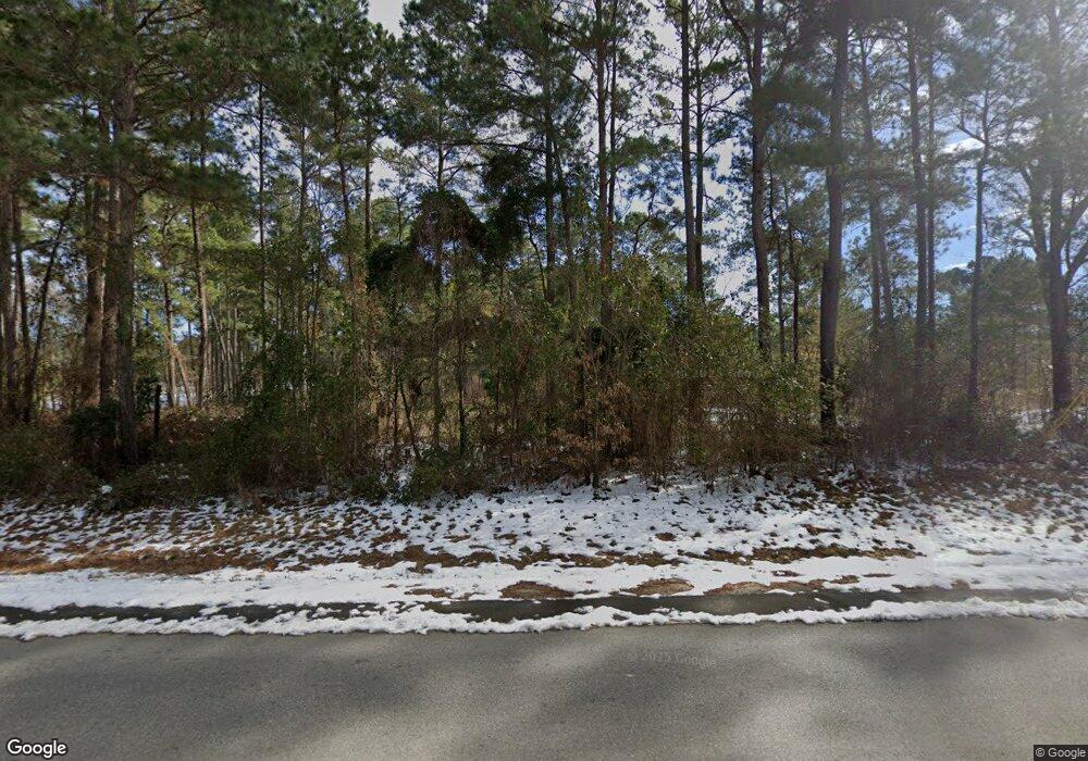
4906 Ga Highway 112 N Pelham, GA 31779
Estimated Value: $305,000 - $777,342
3
Beds
3
Baths
2,306
Sq Ft
$222/Sq Ft
Est. Value
About This Home
This home is located at 4906 Ga Highway 112 N, Pelham, GA 31779 and is currently estimated at $511,447, approximately $221 per square foot. 4906 Ga Highway 112 N is a home.
Ownership History
Date
Name
Owned For
Owner Type
Purchase Details
Closed on
Sep 8, 2014
Sold by
Powell Len
Bought by
Hurst Tony D and Hurst Leann G
Current Estimated Value
Home Financials for this Owner
Home Financials are based on the most recent Mortgage that was taken out on this home.
Original Mortgage
$110,000
Outstanding Balance
$36,382
Interest Rate
4.2%
Mortgage Type
New Conventional
Estimated Equity
$475,065
Purchase Details
Closed on
Jul 17, 2007
Sold by
Sellers Carroll V
Bought by
Powell Len
Create a Home Valuation Report for This Property
The Home Valuation Report is an in-depth analysis detailing your home's value as well as a comparison with similar homes in the area
Home Values in the Area
Average Home Value in this Area
Purchase History
| Date | Buyer | Sale Price | Title Company |
|---|---|---|---|
| Hurst Tony D | $125,000 | -- | |
| Powell Len | $200,000 | -- |
Source: Public Records
Mortgage History
| Date | Status | Borrower | Loan Amount |
|---|---|---|---|
| Open | Hurst Tony D | $110,000 | |
| Closed | Powell Len | $0 |
Source: Public Records
Tax History Compared to Growth
Tax History
| Year | Tax Paid | Tax Assessment Tax Assessment Total Assessment is a certain percentage of the fair market value that is determined by local assessors to be the total taxable value of land and additions on the property. | Land | Improvement |
|---|---|---|---|---|
| 2024 | $4,871 | $238,201 | $113,001 | $125,200 |
| 2023 | $3,889 | $173,264 | $75,904 | $97,360 |
| 2022 | $3,713 | $169,552 | $72,192 | $97,360 |
| 2021 | $3,703 | $169,552 | $72,192 | $97,360 |
| 2020 | $3,694 | $169,552 | $72,192 | $97,360 |
| 2019 | $3,673 | $169,552 | $72,192 | $97,360 |
| 2018 | $3,429 | $169,552 | $72,192 | $97,360 |
| 2017 | $3,246 | $169,552 | $72,192 | $97,360 |
| 2016 | $2,067 | $125,180 | $72,192 | $52,988 |
| 2015 | $568 | $72,192 | $72,192 | $0 |
| 2014 | $552 | $72,192 | $72,192 | $0 |
| 2013 | -- | $74,112 | $74,112 | $0 |
Source: Public Records
Map
Nearby Homes
- 0 Wade Rd
- 7268 Lodgetown Rd
- 1067 Wade Rd
- 6203 Mount Olive Rd
- 0 Harrell Rd
- 835 Mill Pond Rd
- 4761 Georgia 65
- 4749 Georgia 65
- 4702 Georgia 65
- 000 Noles Rd
- 5854 Mount Olive Rd
- 387 Lakeshore Rd
- 0 Old Ga Highway 3
- 425 Hollis St SW
- 443 Stewart St SW
- 410 Hollis St SW
- 389 Stewart St SW
- 8468 Branchville Rd
- 189 Sabino Dr
- 277 Saunders St SW
- 4106 Ga Highway 112 N
- 4116 Ga Highway 112 N
- 4374 Ga Highway 112 N
- 3990 Ga Highway 112 N
- 4909 Ga Highway 112 N
- 4808 Ga Highway 112 N
- 131 Alwood Ln
- 4806 Ga Highway 112 N
- 260 Tinsley Ln
- 1336 Wilder Rd
- 5123 Ga Highway 112 N
- 1278 Wilder Rd
- 211 Ga Highway 262 N Unit L3
- 211 Ga Highway 262 N
- 194 Tinsley Ln
- 197 Ga Highway 262 N
- 5216 Ga Highway 112 N
- 5088 Ga Highway 112 N
- 000 Mizpah Rd
- 000 Wilder Rd
