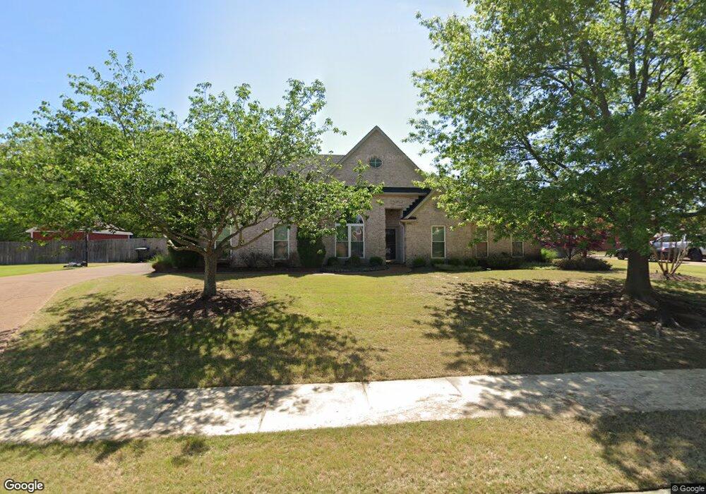
4906 Kings Forest Dr Bartlett, TN 38135
Estimated Value: $360,000 - $370,868
3
Beds
2
Baths
2,311
Sq Ft
$158/Sq Ft
Est. Value
About This Home
This home is located at 4906 Kings Forest Dr, Bartlett, TN 38135 and is currently estimated at $364,467, approximately $157 per square foot. 4906 Kings Forest Dr is a home located in Shelby County with nearby schools including Rivercrest Elementary School, Bon Lin Middle School, and Bartlett High School.
Ownership History
Date
Name
Owned For
Owner Type
Purchase Details
Closed on
Sep 1, 2010
Sold by
Thomas Houston B
Bought by
Thomas Shannon Leigh
Current Estimated Value
Purchase Details
Closed on
May 28, 2002
Sold by
Skip Hobbs Construction Llc
Bought by
Thomas Shannon L and Thomas Houston B
Home Financials for this Owner
Home Financials are based on the most recent Mortgage that was taken out on this home.
Original Mortgage
$173,700
Outstanding Balance
$74,015
Interest Rate
6.92%
Estimated Equity
$290,452
Create a Home Valuation Report for This Property
The Home Valuation Report is an in-depth analysis detailing your home's value as well as a comparison with similar homes in the area
Home Values in the Area
Average Home Value in this Area
Purchase History
| Date | Buyer | Sale Price | Title Company |
|---|---|---|---|
| Thomas Shannon Leigh | -- | None Available | |
| Thomas Shannon L | $182,900 | -- |
Source: Public Records
Mortgage History
| Date | Status | Borrower | Loan Amount |
|---|---|---|---|
| Open | Thomas Shannon L | $173,700 |
Source: Public Records
Tax History Compared to Growth
Tax History
| Year | Tax Paid | Tax Assessment Tax Assessment Total Assessment is a certain percentage of the fair market value that is determined by local assessors to be the total taxable value of land and additions on the property. | Land | Improvement |
|---|---|---|---|---|
| 2025 | $2,154 | $91,100 | $18,000 | $73,100 |
| 2024 | $2,154 | $63,550 | $12,200 | $51,350 |
| 2023 | $3,254 | $63,550 | $12,200 | $51,350 |
| 2022 | $3,254 | $63,550 | $12,200 | $51,350 |
| 2021 | $3,305 | $63,550 | $12,200 | $51,350 |
| 2020 | $2,850 | $48,475 | $12,200 | $36,275 |
| 2019 | $2,850 | $48,475 | $12,200 | $36,275 |
| 2018 | $2,850 | $48,475 | $12,200 | $36,275 |
| 2017 | $1,992 | $48,475 | $12,200 | $36,275 |
| 2016 | $1,859 | $42,550 | $0 | $0 |
| 2014 | $1,859 | $42,550 | $0 | $0 |
Source: Public Records
Map
Nearby Homes
- 6460 Wellsgate Cove
- 6450 Wells Grove Dr
- 6495 Wells Grove Cove
- 6712 Hare Hill Dr
- 5047 Jeffrey Keith Dr
- 5094 Foggy River Ln
- 5128 N Fluss Cove
- 4616 Molsonwood Dr
- 4567 Garner Place
- 6155 Trail Creek Ln
- 4840 Springtree Dr
- 6776 Raner Creek Dr
- 5186 Guffin Rd
- 6153 Forest Oasis Cove
- 6074 Abigail Bluffs Dr
- 4450 Guinevere Ln
- Albany Plan at Walker Farms
- Willow Plan at Walker Farms
- Ashmont Plan at Walker Farms
- 6839 Hare Pointe
- 4890 Kings Forest Dr
- 4916 Kings Forest Dr
- 4905 Kings Forest Dr
- 6470 Kings Cove
- 4895 Kings Forest Dr
- 6458 Kings Cove
- 6448 Kings Cove
- 4887 Kings Forest Dr
- 4926 Kings Forest Dr
- 6480 Kings Cove
- 4915 Kings Forest Dr
- 4923 Kings Forest Dr
- 4875 Kings Forest Dr
- 6489 Piney River Rd
- 4865 Kings Forest Dr
- 4936 Kings Forest Dr
- 6477 Piney River Rd
- 4900 Duck River Rd
- 4910 Duck River Rd
- 4890 Duck River Rd