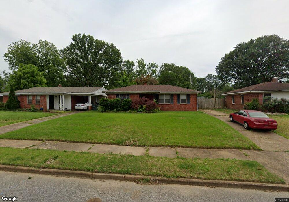
4907 Kimball Ave Memphis, TN 38117
Colonial Acres NeighborhoodEstimated Value: $145,000 - $186,000
2
Beds
1
Bath
1,002
Sq Ft
$161/Sq Ft
Est. Value
About This Home
This home is located at 4907 Kimball Ave, Memphis, TN 38117 and is currently estimated at $161,217, approximately $160 per square foot. 4907 Kimball Ave is a home located in Shelby County with nearby schools including Sea Isle Elementary School, Colonial Middle, and Overton High.
Ownership History
Date
Name
Owned For
Owner Type
Purchase Details
Closed on
Feb 9, 2007
Sold by
Hays Phillip Lynn and Hays Christopher Ray
Bought by
Williams Matthew P
Current Estimated Value
Home Financials for this Owner
Home Financials are based on the most recent Mortgage that was taken out on this home.
Original Mortgage
$78,700
Outstanding Balance
$47,164
Interest Rate
6.17%
Mortgage Type
Purchase Money Mortgage
Estimated Equity
$114,053
Create a Home Valuation Report for This Property
The Home Valuation Report is an in-depth analysis detailing your home's value as well as a comparison with similar homes in the area
Home Values in the Area
Average Home Value in this Area
Purchase History
| Date | Buyer | Sale Price | Title Company |
|---|---|---|---|
| Williams Matthew P | $78,700 | None Available |
Source: Public Records
Mortgage History
| Date | Status | Borrower | Loan Amount |
|---|---|---|---|
| Open | Williams Matthew P | $78,700 |
Source: Public Records
Tax History Compared to Growth
Tax History
| Year | Tax Paid | Tax Assessment Tax Assessment Total Assessment is a certain percentage of the fair market value that is determined by local assessors to be the total taxable value of land and additions on the property. | Land | Improvement |
|---|---|---|---|---|
| 2025 | $1,122 | $41,225 | $9,000 | $32,225 |
| 2024 | $1,122 | $33,100 | $6,250 | $26,850 |
| 2023 | $2,016 | $33,100 | $6,250 | $26,850 |
| 2022 | $2,016 | $33,100 | $6,250 | $26,850 |
| 2021 | $2,040 | $33,100 | $6,250 | $26,850 |
| 2020 | $1,750 | $24,150 | $6,250 | $17,900 |
| 2019 | $1,750 | $24,150 | $6,250 | $17,900 |
| 2018 | $1,750 | $24,150 | $6,250 | $17,900 |
| 2017 | $993 | $24,150 | $6,250 | $17,900 |
| 2016 | $970 | $22,200 | $0 | $0 |
| 2014 | $970 | $22,200 | $0 | $0 |
Source: Public Records
Map
Nearby Homes
- 4861 Verne Rd
- 1403 Whitewater Rd
- 4891 Flamingo Rd
- 4885 Flamingo Rd
- 1485 Ivy Rd
- 1534 Ivy Rd
- 5080 Sea Isle Rd
- 4803 Hummingbird Ln
- 4908 Mockingbird Ln
- 4944 Mockingbird Ln
- 4804 Hummingbird Ln
- 4861 Parkside Ave
- 1321 Wilbec Rd
- 1615 Delmont Rd
- 1608 Whitewater Rd
- 5055 Wingdale Rd
- 4841 Dee Rd
- 1292 S White Station Rd
- 5067 Wingdale Rd
- 4888 Dee Rd
- 4901 Kimball Ave
- 4911 Kimball Ave
- 4895 Kimball Ave
- 4919 Kimball Ave
- 4908 Sea Isle Rd
- 4902 Sea Isle Rd
- 4914 Sea Isle Rd
- 4925 Kimball Ave
- 4889 Kimball Ave
- 4896 Sea Isle Rd
- 4920 Sea Isle Rd
- 4908 Kimball Ave
- 4914 Kimball Ave
- 4902 Kimball Ave
- 4920 Kimball Ave
- 4896 Kimball Ave
- 4890 Sea Isle Rd
- 4926 Sea Isle Rd
- 4931 Kimball Ave
- 4883 Kimball Ave