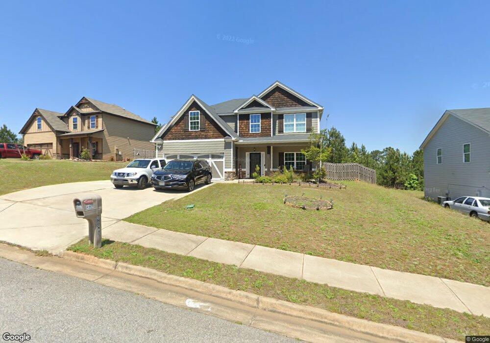
4909 Brightstar Ln Unit 11 Columbus, GA 31907
Eastern Columbus NeighborhoodEstimated Value: $280,000 - $315,000
4
Beds
3
Baths
2,586
Sq Ft
$115/Sq Ft
Est. Value
About This Home
This home is located at 4909 Brightstar Ln Unit 11, Columbus, GA 31907 and is currently estimated at $296,450, approximately $114 per square foot. 4909 Brightstar Ln Unit 11 is a home located in Muscogee County with nearby schools including Dawson Elementary School, East Columbus Magnet Academy, and Kendrick High School.
Ownership History
Date
Name
Owned For
Owner Type
Purchase Details
Closed on
Mar 14, 2017
Sold by
Edgar Hughston Builder Inc
Bought by
Frazier Emmanuel and Frazier Thomas Wendy Denise
Current Estimated Value
Home Financials for this Owner
Home Financials are based on the most recent Mortgage that was taken out on this home.
Original Mortgage
$186,459
Outstanding Balance
$155,474
Interest Rate
4.37%
Mortgage Type
FHA
Estimated Equity
$140,976
Create a Home Valuation Report for This Property
The Home Valuation Report is an in-depth analysis detailing your home's value as well as a comparison with similar homes in the area
Home Values in the Area
Average Home Value in this Area
Purchase History
| Date | Buyer | Sale Price | Title Company |
|---|---|---|---|
| Frazier Emmanuel | $189,900 | -- |
Source: Public Records
Mortgage History
| Date | Status | Borrower | Loan Amount |
|---|---|---|---|
| Open | Frazier Emmanuel | $186,459 |
Source: Public Records
Tax History Compared to Growth
Tax History
| Year | Tax Paid | Tax Assessment Tax Assessment Total Assessment is a certain percentage of the fair market value that is determined by local assessors to be the total taxable value of land and additions on the property. | Land | Improvement |
|---|---|---|---|---|
| 2025 | $2,457 | $100,796 | $12,668 | $88,128 |
| 2024 | $246 | $100,796 | $12,668 | $88,128 |
| 2023 | $1,777 | $100,796 | $12,668 | $88,128 |
| 2022 | $2,562 | $72,484 | $12,668 | $59,816 |
| 2021 | $2,555 | $72,972 | $12,668 | $60,304 |
| 2020 | $2,556 | $72,972 | $12,668 | $60,304 |
| 2019 | $2,565 | $72,972 | $12,668 | $60,304 |
| 2018 | $2,565 | $75,960 | $12,080 | $63,880 |
| 2017 | $3,529 | $85,872 | $19,000 | $66,872 |
| 2016 | $330 | $8,000 | $8,000 | $0 |
| 2015 | $132 | $8,000 | $8,000 | $0 |
| 2014 | $331 | $8,000 | $8,000 | $0 |
| 2013 | -- | $8,000 | $8,000 | $0 |
Source: Public Records
Map
Nearby Homes
- 4917 Brightstar Ln
- 59 Apollo Dr
- 4930 Capricorn Ct
- 4201 Valley Crest Dr
- 4965 Brightstar Ln
- 811 Pheasant Loop
- 31 R C Allen Dr
- 4516 Sims St
- 4939 Aaron Dr
- 5003 Shirley Ann Dr
- 5021 Shirley Ann Dr
- 780 Honey Do Ct
- 4846 Maplewood Dr
- 849 Bunker Hill Rd
- 4437 St Marys Rd
- 4422 Pate Dr
- 5234 Saint Marys Rd
- 906 Bunker Hill Rd
- 4534 Sentry St
- 4422 Debolt Ct
- 4913 Brightstar Ln
- 4903 Brightstar Ln Unit 12
- 4903 Brightstar Ln
- 48 Northstar Dr
- 48 Northstar Dr Unit 3
- 4901 Brightstar Ln
- 4917 Brightstar Ln Unit 9
- 4917 Brightstar Ln Unit 4917
- 4908 Brightstar Ln
- 4912 Brightstar Ln
- 42 Northstar Dr Unit 3
- 42 Northstar Dr Unit 2
- 42 Northstar Dr
- 36 Northstar Dr
- 46 Northstar Dr
- 54 Northstar Dr Unit 4
- 54 Northstar Dr
- 4900 Brightstar Ln
- 4902 Brightstar Ln
- 4921 Brightstar Ln