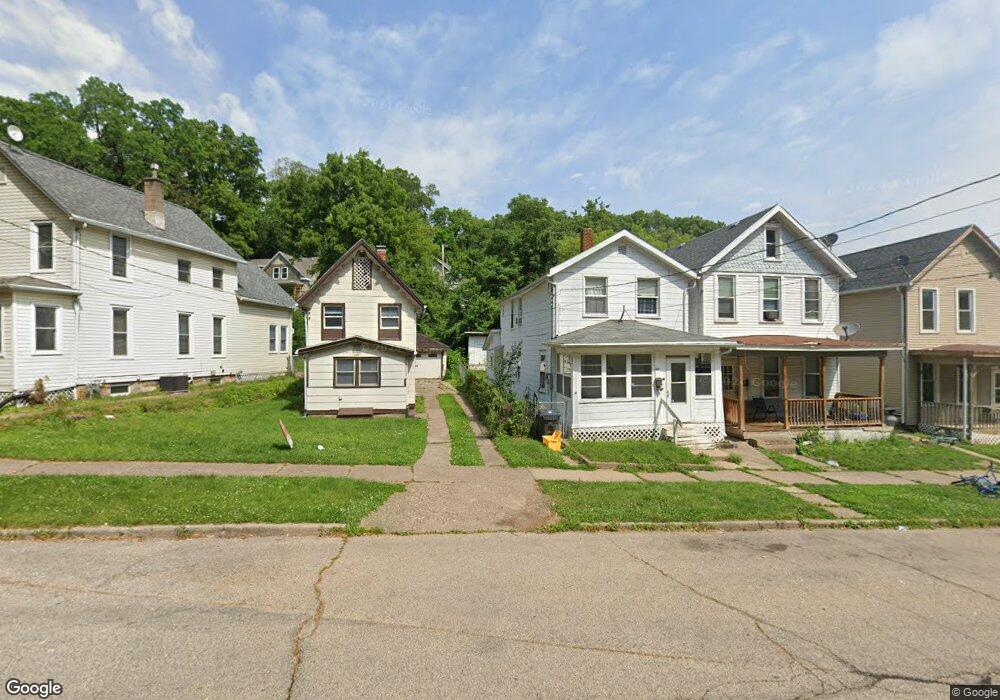
491 Clark St Dubuque, IA 52001
Estimated Value: $105,478 - $191,000
2
Beds
3
Baths
1,216
Sq Ft
$108/Sq Ft
Est. Value
About This Home
This home is located at 491 Clark St, Dubuque, IA 52001 and is currently estimated at $131,870, approximately $108 per square foot. 491 Clark St is a home located in Dubuque County with nearby schools including Lincoln Elementary School, George Washington Middle School, and Dubuque Senior High School.
Ownership History
Date
Name
Owned For
Owner Type
Purchase Details
Closed on
Jul 25, 2014
Sold by
Grant David and Grant Frank Sheila
Bought by
Alpine Lane Llc
Current Estimated Value
Purchase Details
Closed on
Aug 8, 2011
Sold by
Heitzmann Jill M and Ressler Jill M
Bought by
Beyer Susan M
Home Financials for this Owner
Home Financials are based on the most recent Mortgage that was taken out on this home.
Original Mortgage
$52,280
Interest Rate
6.25%
Mortgage Type
Adjustable Rate Mortgage/ARM
Purchase Details
Closed on
Oct 4, 2010
Sold by
Tomkins Robert Jon and Fuerstenberg Connie Marie
Bought by
Deutsche Bank Trust Company Americas and Bankers Trust Company
Create a Home Valuation Report for This Property
The Home Valuation Report is an in-depth analysis detailing your home's value as well as a comparison with similar homes in the area
Purchase History
| Date | Buyer | Sale Price | Title Company |
|---|---|---|---|
| Alpine Lane Llc | -- | None Available | |
| Beyer Susan M | $50,000 | None Available | |
| Deutsche Bank Trust Company Americas | $47,000 | None Available |
Source: Public Records
Mortgage History
| Date | Status | Borrower | Loan Amount |
|---|---|---|---|
| Previous Owner | Beyer Susan M | $52,280 |
Source: Public Records
Tax History
| Year | Tax Paid | Tax Assessment Tax Assessment Total Assessment is a certain percentage of the fair market value that is determined by local assessors to be the total taxable value of land and additions on the property. | Land | Improvement |
|---|---|---|---|---|
| 2025 | $918 | $73,500 | $10,900 | $62,600 |
| 2024 | $918 | $63,800 | $10,300 | $53,500 |
| 2023 | $890 | $63,800 | $10,300 | $53,500 |
| 2022 | $984 | $59,480 | $7,730 | $51,750 |
| 2021 | $984 | $59,480 | $7,730 | $51,750 |
| 2020 | $880 | $49,490 | $7,730 | $41,760 |
| 2019 | $868 | $49,490 | $7,730 | $41,760 |
| 2018 | $854 | $46,650 | $6,700 | $39,950 |
| 2017 | $810 | $46,650 | $6,700 | $39,950 |
| 2016 | $810 | $41,930 | $6,700 | $35,230 |
| 2015 | $794 | $41,930 | $6,700 | $35,230 |
| 2014 | $772 | $41,930 | $6,700 | $35,230 |
Source: Public Records
Map
Nearby Homes
- 364 W Locust St Unit 366 W Locust Street
- 347 W 17th St
- 345 W 17th St
- 1505 Montrose Terrace
- 517 Loras Blvd
- 251 W 17th St Unit 253 West 17th St
- 1765 Madison St
- 1735 Madison St Unit 1737 & 1745 Madison
- 201 W 17th St
- 568 Loras Blvd
- 1477 Locust St
- 1433 Main St
- 2071 N Main St
- 1735 Central Ave
- 25 W 15th St
- 1500 Central Ave
- 316 Kaufmann Ave
- 2249 Harold St
- 1902 White St
- 271 Valeria St
Your Personal Tour Guide
Ask me questions while you tour the home.